TD 4 disorganized
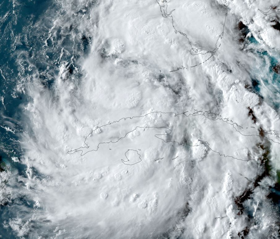
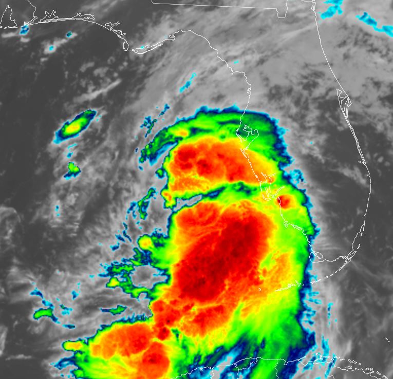
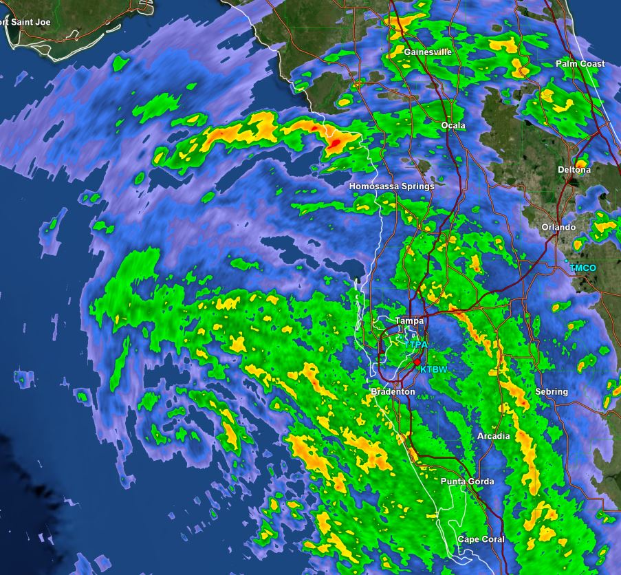
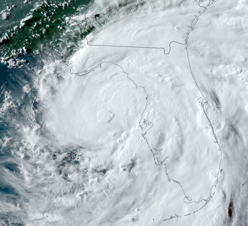
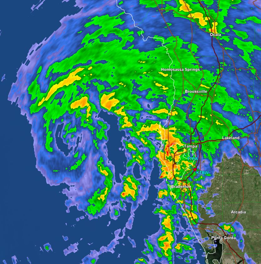
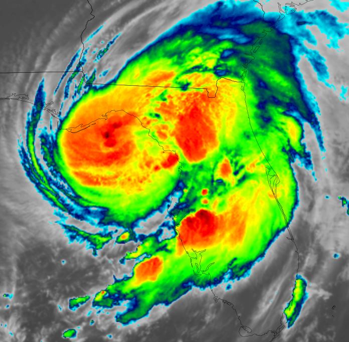
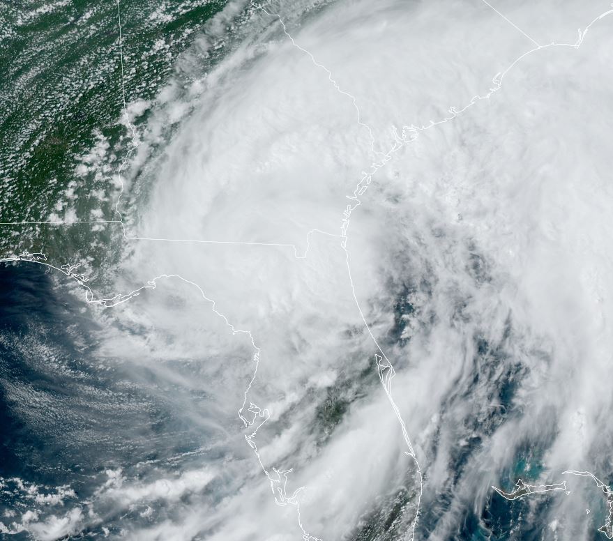
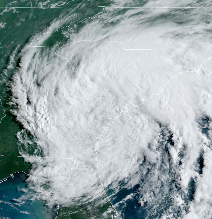
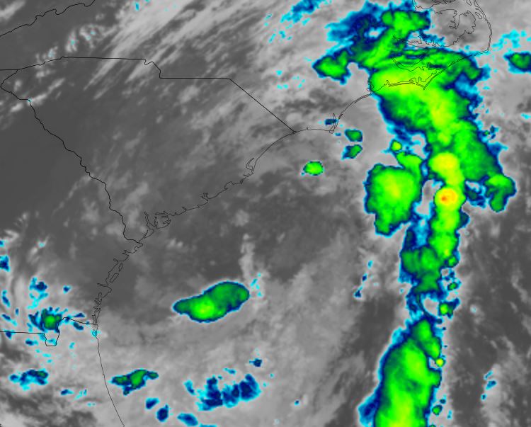
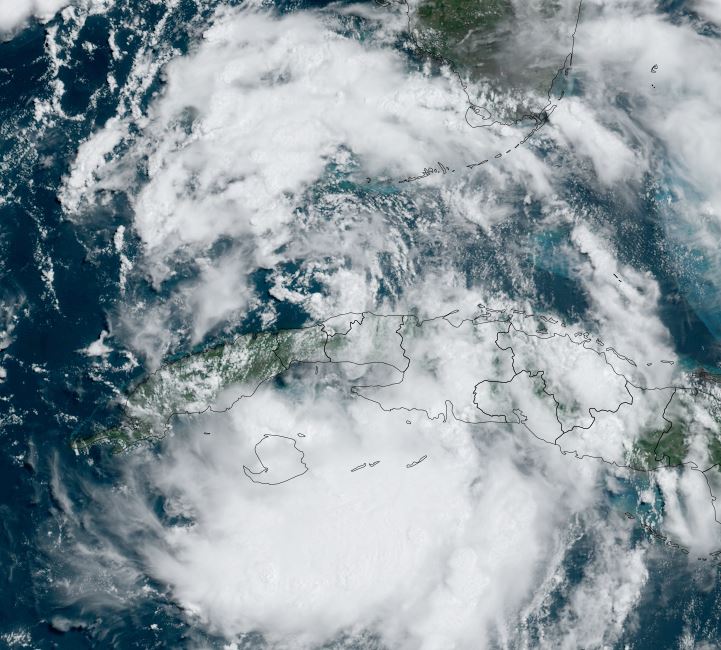
Satellite imagery shows two areas of deep convection. The first is WNW of Key West in the southeastern Gulf of Mexico. The other is south of western Cuba. At this time convection has not been concentrated near the surface low. This is expected later tonight or early Sunday which will allow for strengthening.
The Weather Situation
SUMMARY OF 1100 AM EDT...1500 UTC...INFORMATION
-----------------------------------------------
LOCATION...22.8N 82.0W
ABOUT 40 MI...60 KM SE OF HAVANA CUBA
ABOUT 125 MI...200 KM S OF KEY WEST FLORIDA
MAXIMUM SUSTAINED WINDS...35 MPH...55 KM/H
PRESENT MOVEMENT...WNW OR 300 DEGREES AT 15 MPH...24 KM/H
MINIMUM CENTRAL PRESSURE...1009 MB...29.80 INCHES
Tropicast: Visible Satellite RAAMB Slider
Tropical Weather Forecast:
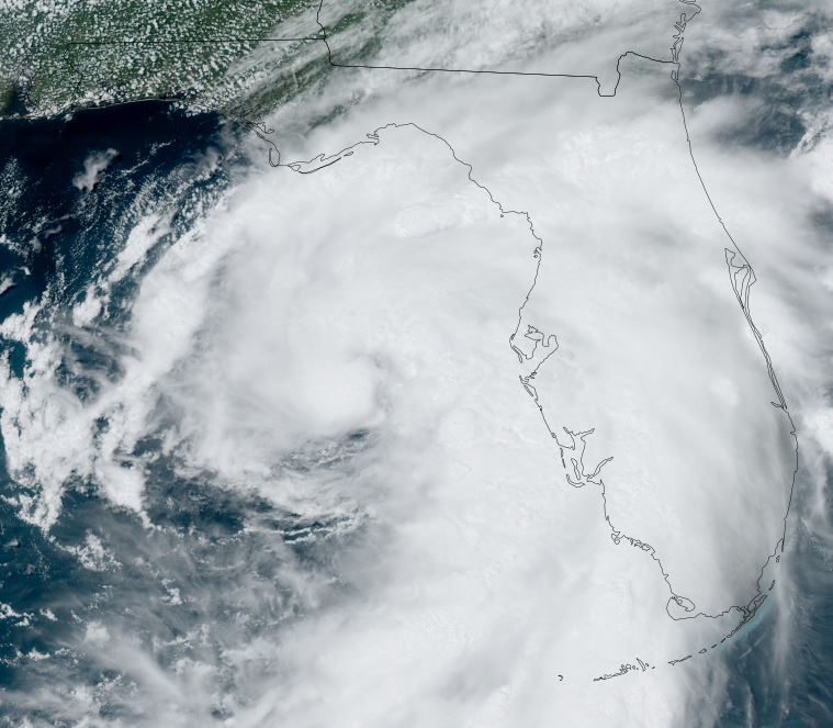
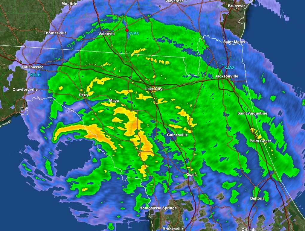
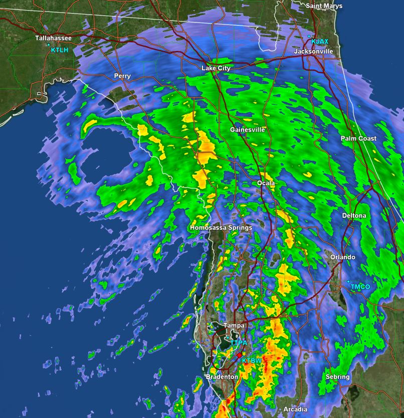
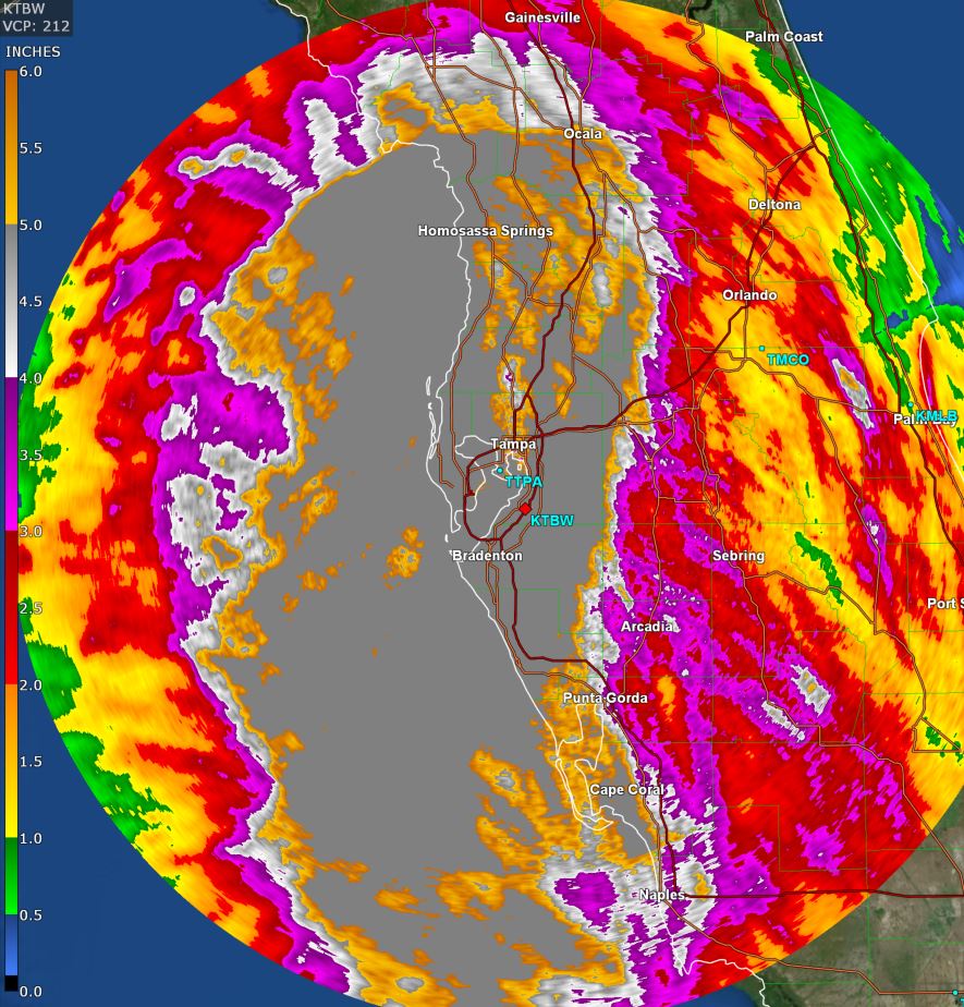
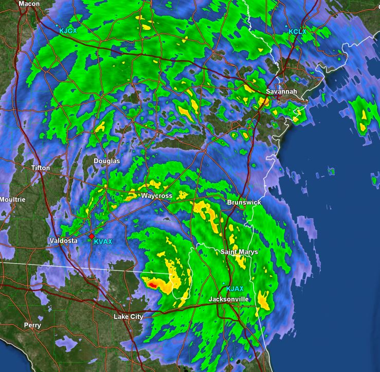
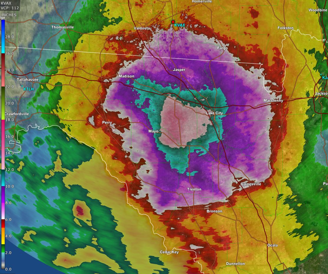
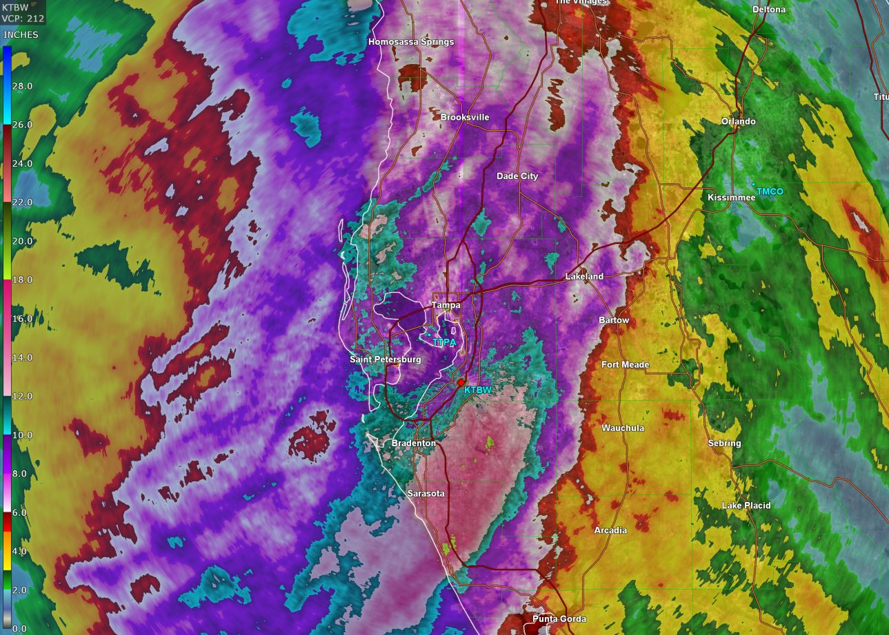
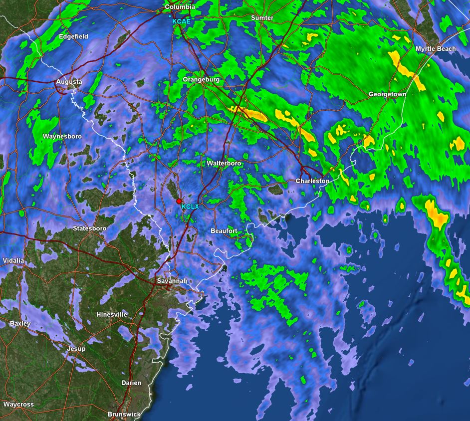
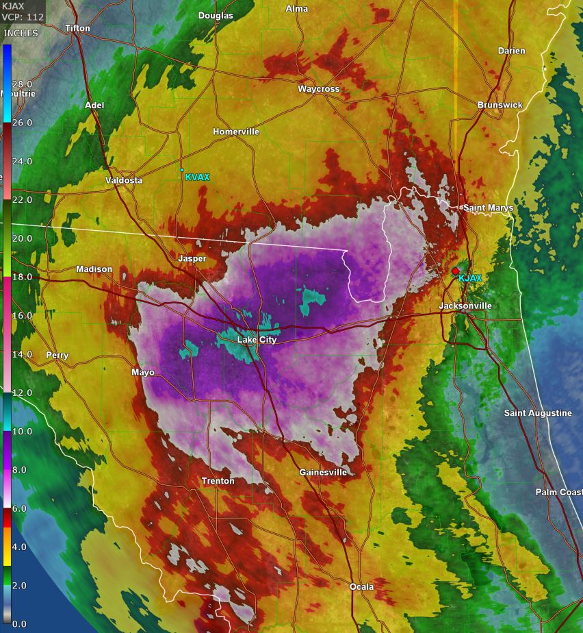
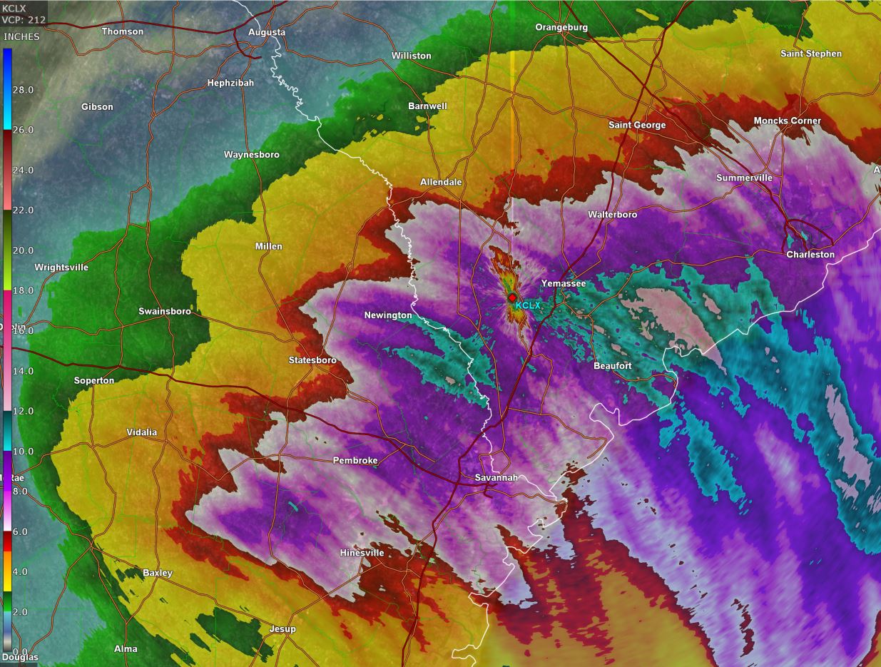
TD 4 is expected to become a tropical storm and move generally north over the eastern Gulf, making landfall on the Big Bend of Florida by Monday morning. It is expected to then turn more northeast and slowly move over southeastern Georgia and near the coast of South Carolina. Heavy rainfall is the main concern at this time with wind gusts to tropical storm force where squall bands move inland.