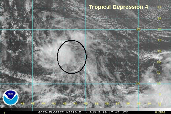
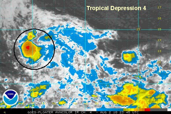
Tuesday Afternoon Update
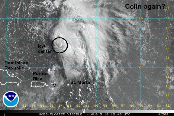
Colin fighting wind shear
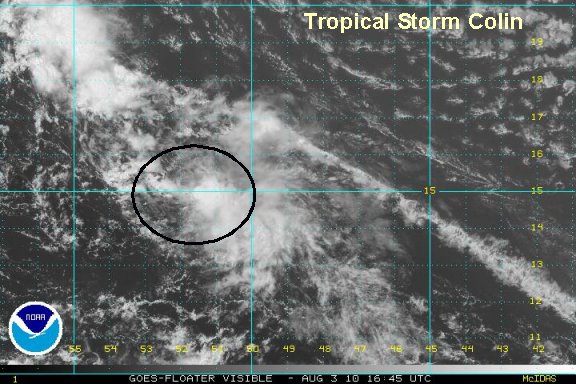
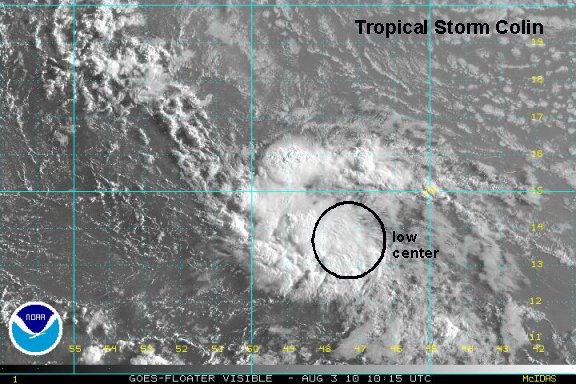
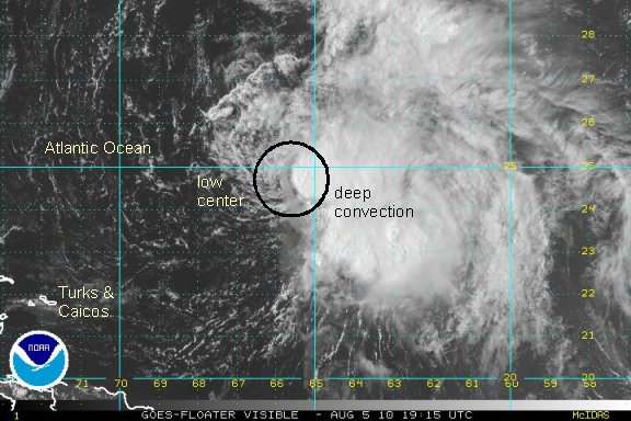
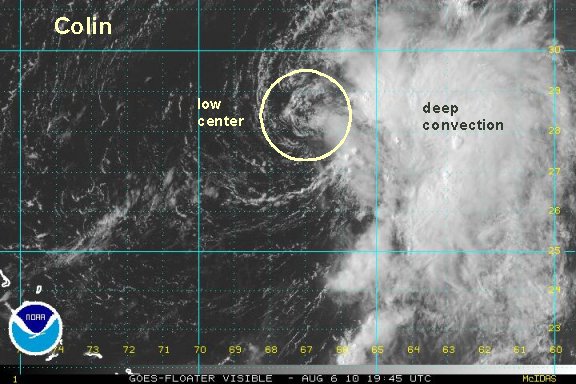
After studying the visible satellite imagery it looks like the low level center is actually farther north than either NHC or we thought. In fact a well defined low level circulation was briefly apparent on the northwest side of the convection before being clouded over again. Another well defined spin is farther southeast and must be more of a mid level circulation. Once again giving testimony of how badly we miss the Quickscat satellite!

The Quickscat imagery helped us tremendously in determining where the low level center was located when it was not clear on satellite imagery.
Colin continues to fight wind shear and is fighting for its life right now. It is difficult for a tropical cyclone to develop when it is moving this fast. At this time Colin is predicted to stay on this quick pace around the Bermuda-Azores high.
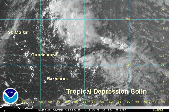
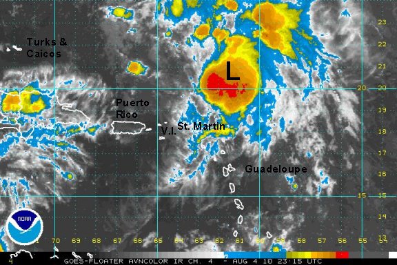
As of 2 pm edt / ast tropical storm Colin was centered near 15° N / 52° W or about 600 miles east of Martinique. Movment was west northwest at about 23 mph. Top sustained winds 40 mph (NHC 40 mph). Pressure 1006 mb.

The forecast track takes Colin about 50-100 miles northeast of the Leewards in about a day then east of the Bahamas and offshore of the U.S. to near Bermuda. With colin staying weak it is being steered farther west with the low level flow. This will take it closer to the Leewards - as the forecasts predicted several days ago! As mentioned yesterday, forecast models can have a high range of error especially several days out.

Interests in the northeastern Caribbean, Bahamas, Bermuda, and eastern U.S. should follow Colin.
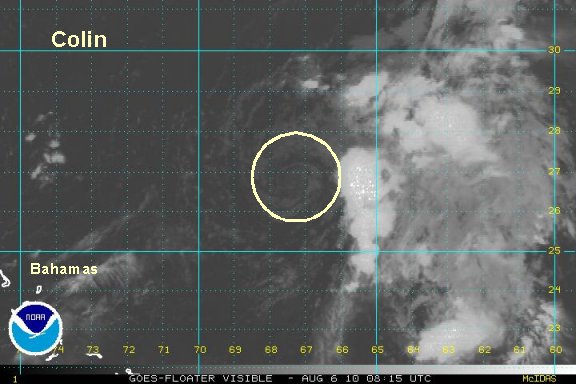
Tropicast: Visible Floater Satellite