FridayMorning Update
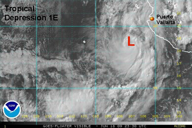
Tropical depression 1 E now a tropical storm?
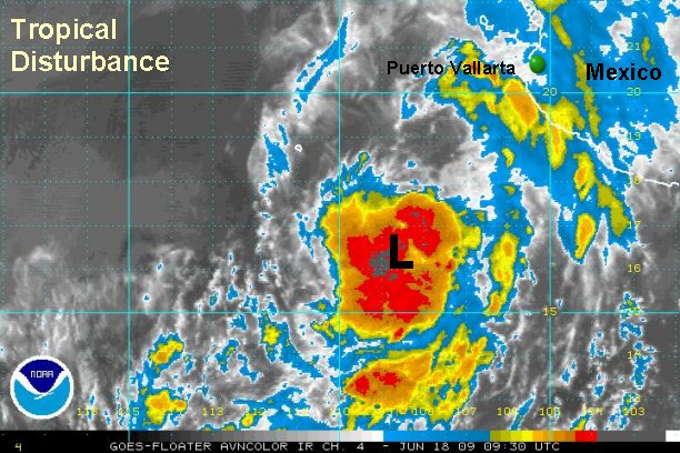
Tropical depression 1 E is centered near 135 miles south southwest of Mazatlan, Mexico. Officially top sustained winds are 35 mph. The tropical depression is moving north at about 12 mph.
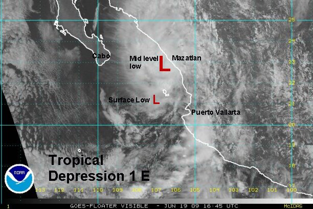
Our estimates of motion are slightly different than NHC's 5 am edt advisory. It appears that the tropical system is moving more north than north northeast at this time. The low is speeding up and appears to be passing Islas Tres Marias to the west. This is a deviation from NHC. Their track takes it over the islands this afternoon. We think that it may already be very close to the islands and passing just west of them. If this is the case landfall may occcur earlier than the 5 pm Saturday landfall. We will also be watching the first visible pictures closely. It's possible that the upper air winds are pushing the deep convection north of the actual surface low. It's hard to tell until the first visible satellite pictures are in, or a new Quickscat is seen (unlikely).
We also believe that this tropical depression is a tropical storm (barely). The estimate of winds are 40 mph with higher gusts. NHC is likely waiting for the first visible satellite images to upgrade and will likely do so at the 8 am pdt advisory time. With the system moving farther north, landfall may be displaced more northwest of Mazatlan.

Any interests near and north of Mazatlan need to finish preparations for a minimal tropical storm soon.
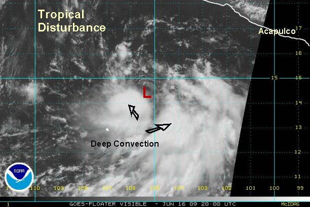
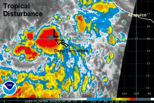
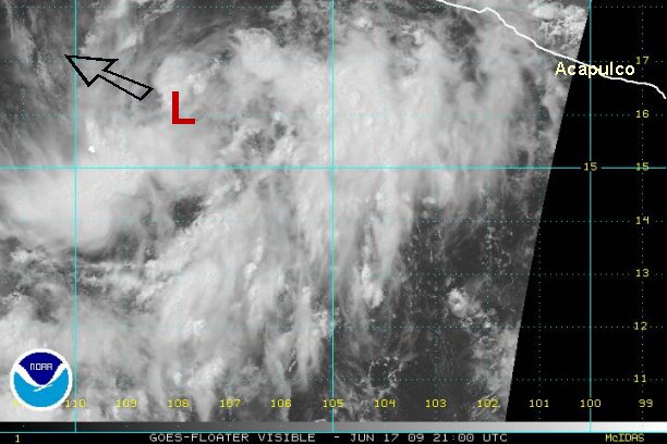
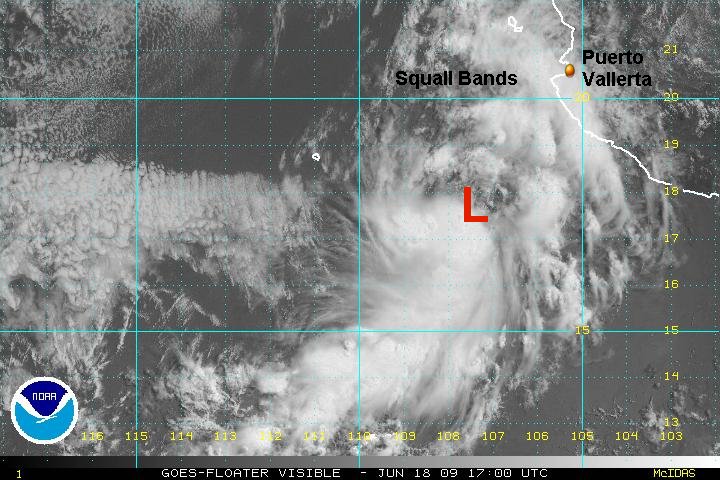
Tropicast: Pacific Floater I.R. Satellite
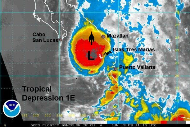
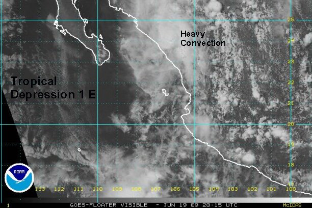
A strong burst of the deepest convection so far with this tropical depression near Islas Tres Marias. The low on the satellite image is where strong cyclonic motion is seen. It's possible that this is a mid level circulation displaced north of the surface low because of upper air southerly winds. We'll know when the visible satellite pictures come in. If that is the mid level center, the surface low is still a little farther south.