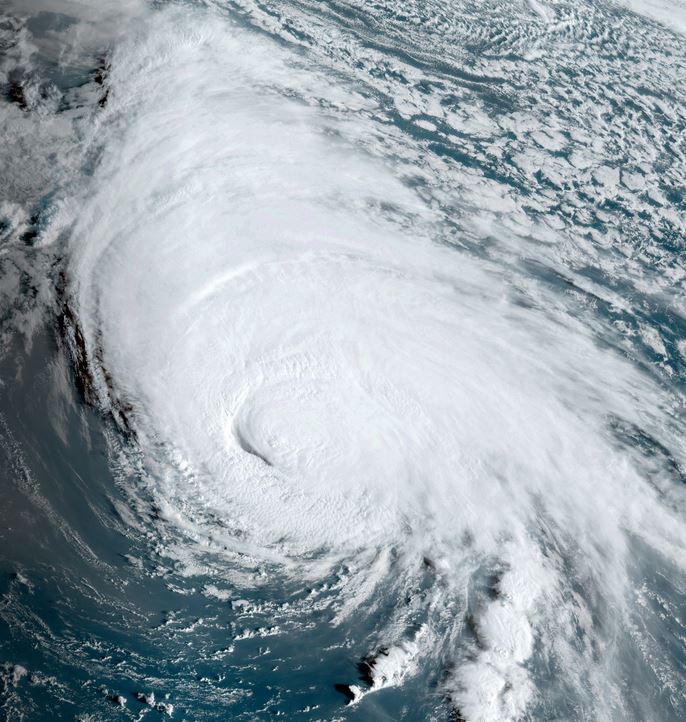
Kirk strengthening
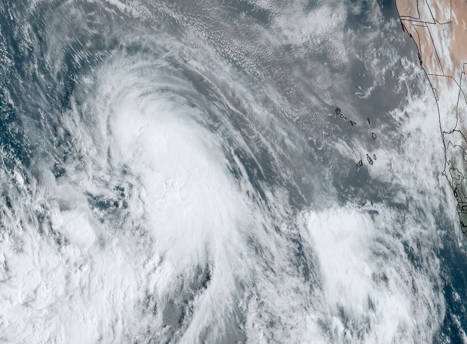
Kirk is strengthening in the deep tropics and has a large area of of convection associated with it. Banding is beginning to take shape and it is expected to become a hurricane by tomorrow.
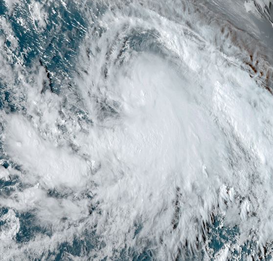
The Weather Situation
SUMMARY OF 500 PM AST...2100 UTC...INFORMATION
----------------------------------------------
LOCATION...13.6N 35.7W
ABOUT 800 MI...1285 KM W OF THE CABO VERDE ISLANDS
MAXIMUM SUSTAINED WINDS...60 MPH...95 KM/H
PRESENT MOVEMENT...W OR 275 DEGREES AT 12 MPH...19 KM/H
MINIMUM CENTRAL PRESSURE...999 MB...29.50 INCHES
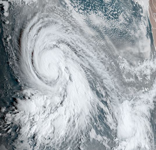
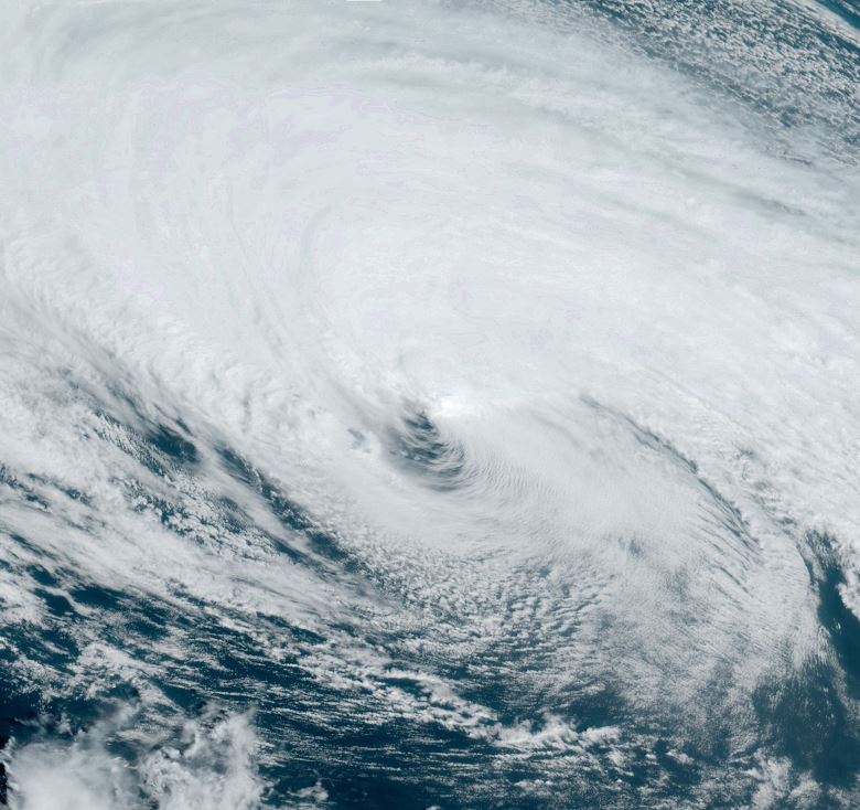
Tropicast: Visible Satellite RAMMB / CIRA Slider Monday Afternoon
Tropical Weather Forecast:
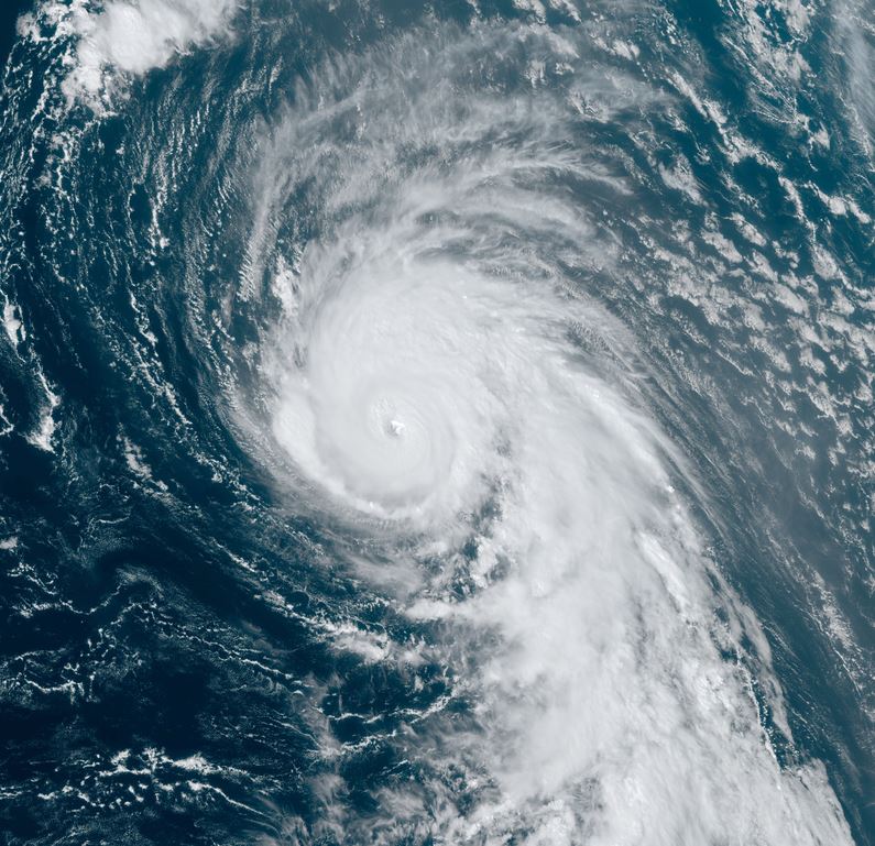
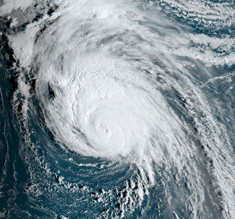
Kirk is expected move move generally NW then slowly turn NNW into this weekend in the open water of the Atlantic. It is expected to become a major hurricane.