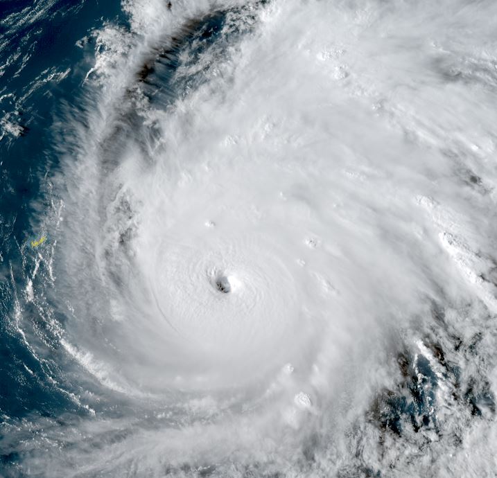
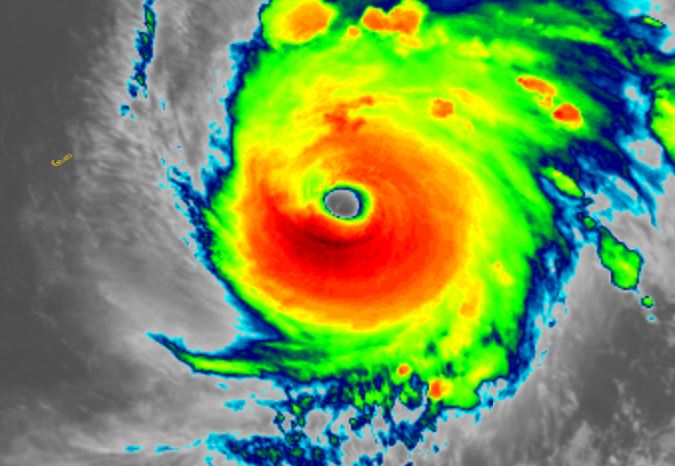
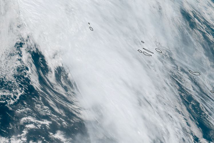
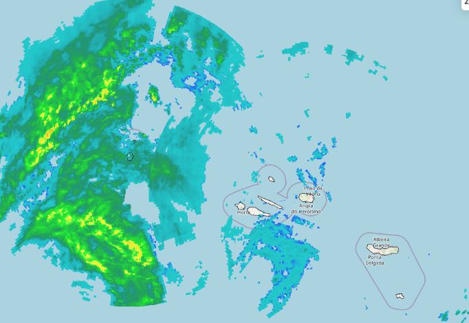
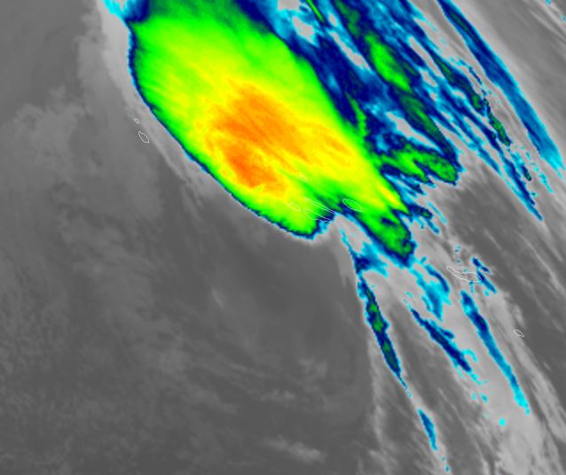
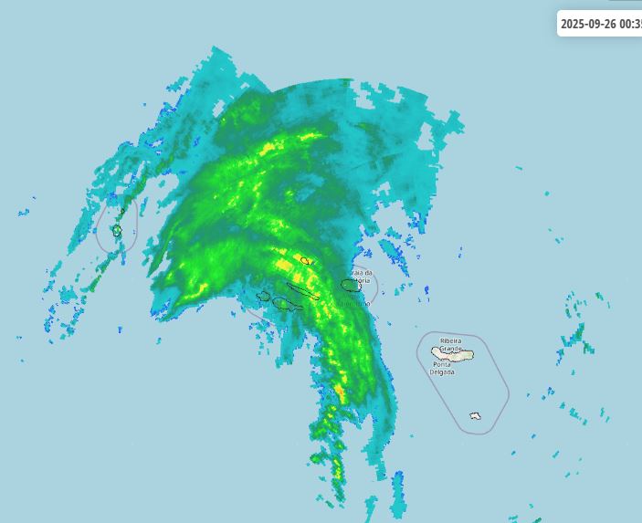
Gabrielle

Post Reply
User avatar
Tropical Inspector
Site Admin
Site Admin
Posts: 3763
Joined: Tue Feb 20, 2007 2:28 pm
Antispam: no
Location: Under a palm tree
Contact:

Gabrielle

Post by Tropical Inspector »

Wednesday Morning Update

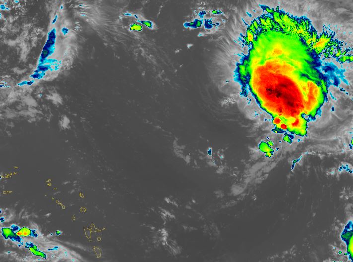
TD 7
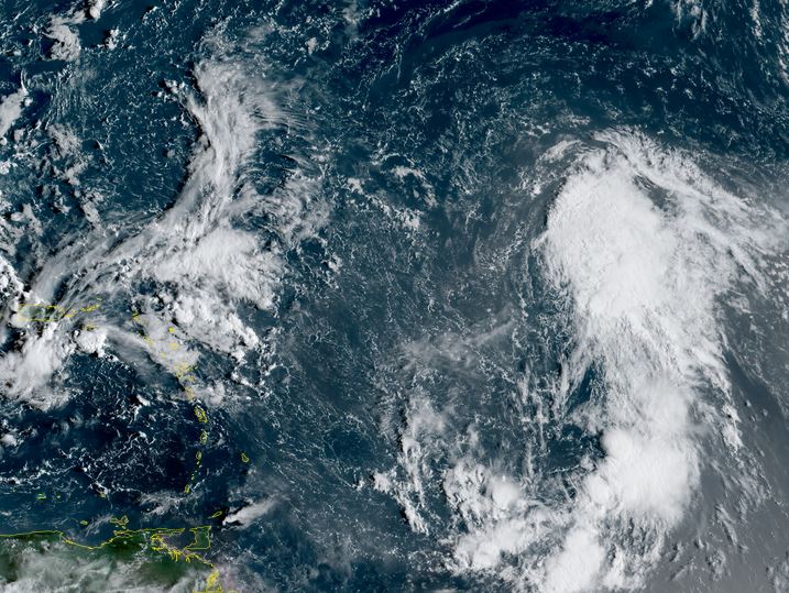
A large circulation exists with TD 7 with accompanying deep convection. This system is likely a tropical storm and should be classified as one on the next official NHC advisory

The Weather Situation
SUMMARY OF 500 AM AST...0900 UTC...INFORMATION
----------------------------------------------
LOCATION...13.7N 45.9W
ABOUT 1185 MI...1905 KM ESE OF THE NORTHERN LEEWARD ISLANDS
MAXIMUM SUSTAINED WINDS...35 MPH...55 KM/H
PRESENT MOVEMENT...W OR 280 DEGREES AT 13 MPH...20 KM/H
MINIMUM CENTRAL PRESSURE...1007 MB...29.74 INCHES

Tropicast: RAMMB/CIRA slider GOES 19 Visible Satellite
Image

Tropical Weather Forecast:
TD 7 is organizing and will move NW, east of the lesser antilles and likely stay well east of the US coast next week.
Rich Johnson
LinkedIn: https://www.linkedin.com/in/richjohnsonmeteorologist/
AMS Certified Broadcast Meteorologist (CBM) - Hurricane Expert
User avatar
Tropical Inspector
Site Admin
Site Admin
Posts: 3763
Joined: Tue Feb 20, 2007 2:28 pm
Antispam: no
Location: Under a palm tree
Contact:

Re: Gabrielle

Post by Tropical Inspector »

Wednesday Evening Update

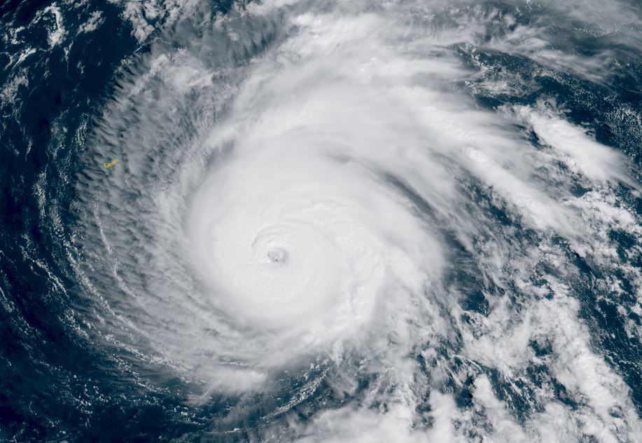
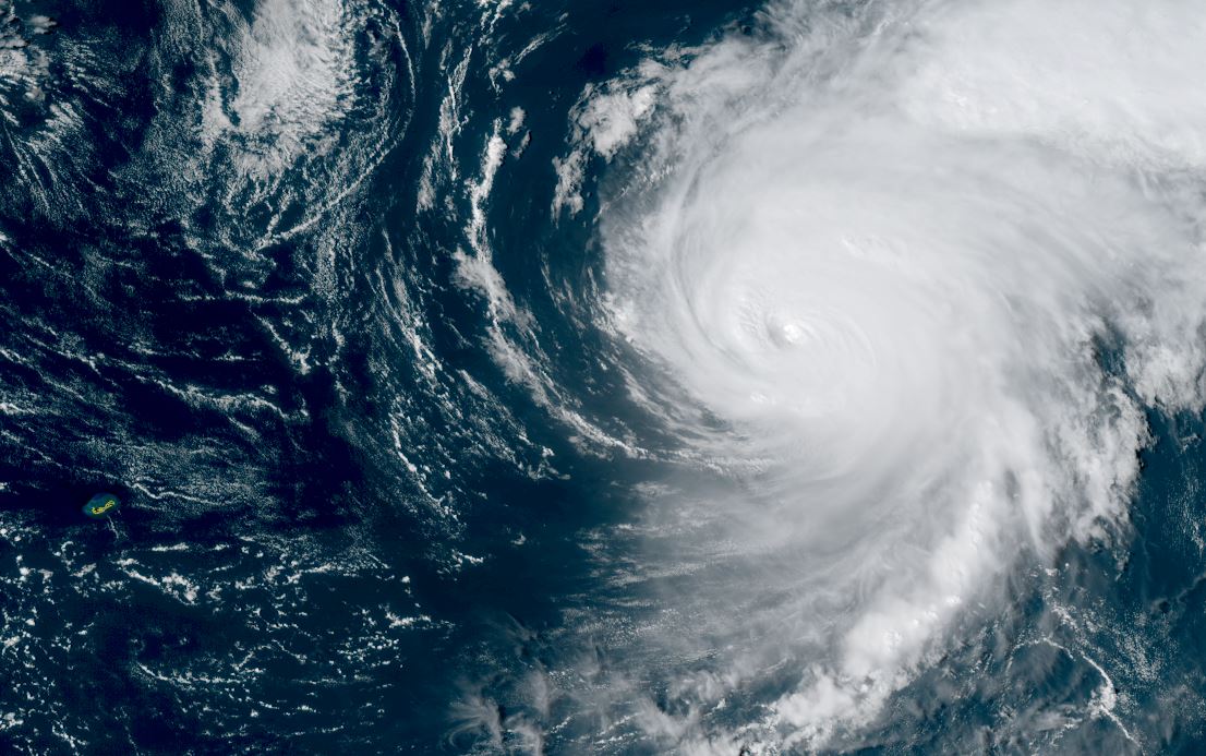
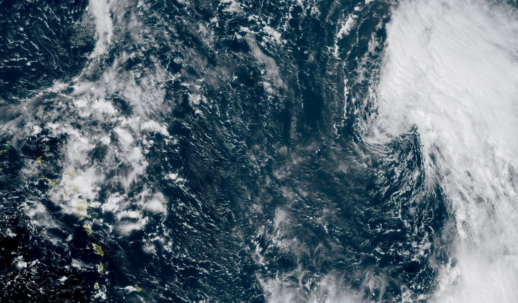
Gabrielle being sheared
Visible satellite has shown that deep convection remains NE of the circulation center. Southwesterly wind shear is keeping deep convection away from the center which will inhibit development for a few days.

The Weather Situation
SUMMARY OF 500 PM AST...2100 UTC...INFORMATION
----------------------------------------------
LOCATION...19.4N 48.0W
ABOUT 990 MI...1595 KM E OF THE NORTHERN LEEWARD ISLANDS
MAXIMUM SUSTAINED WINDS...50 MPH...85 KM/H
PRESENT MOVEMENT...NW OR 310 DEGREES AT 14 MPH...22 KM/H
MINIMUM CENTRAL PRESSURE...1005 MB...29.68 INCHES

Tropicast: RAMMB/CIRA slider GOES 19 Visible Satellite
Image

Tropical Weather Forecast:
Gabrielle will move NW, east of the Lesser Antilles and likely stay well east of the US coast next week. It will struggle for a few days as it fights wind shear. It may be in the vicinity of Bermuda by Monday.
NHC Advisory
https://www.nhc.noaa.gov/text/refresh/M ... 043.shtml?

NHC Track
https://www.nhc.noaa.gov/graphics_at2.s ... t#contents
Rich Johnson
LinkedIn: https://www.linkedin.com/in/richjohnsonmeteorologist/
AMS Certified Broadcast Meteorologist (CBM) - Hurricane Expert
User avatar
Tropical Inspector
Site Admin
Site Admin
Posts: 3763
Joined: Tue Feb 20, 2007 2:28 pm
Antispam: no
Location: Under a palm tree
Contact:

Re: Gabrielle

Post by Tropical Inspector »

Thursday Morning Update

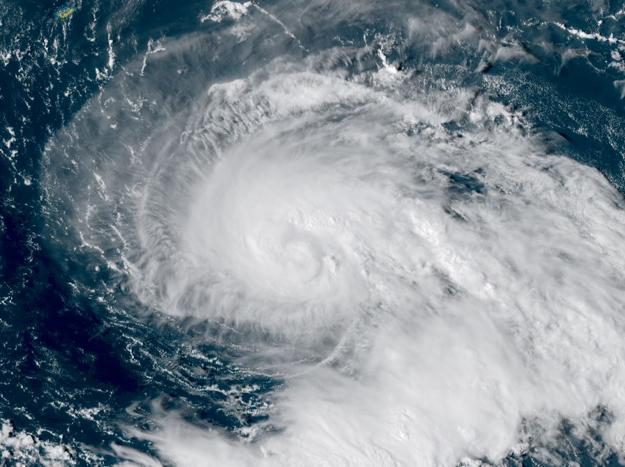
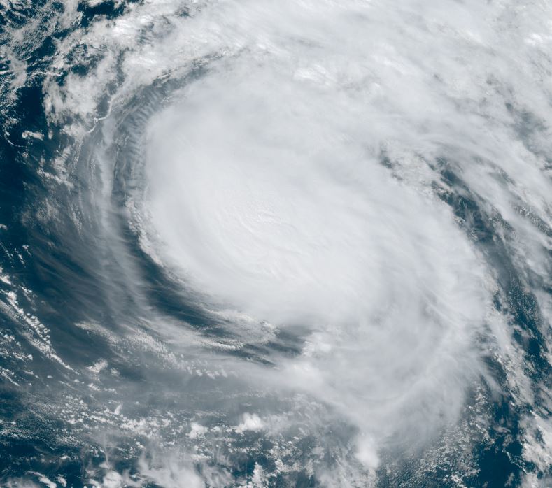
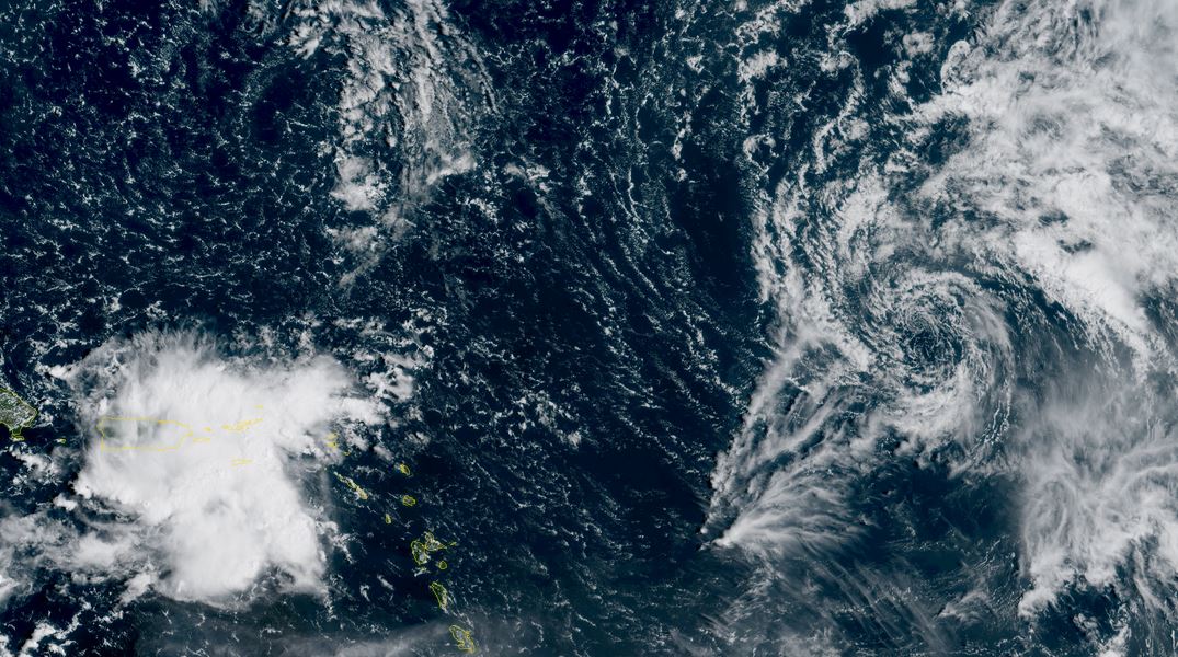
Gabrielle weakens
Visible satellite has shown that Gabrielle has been sheared badly from SW wind shear and dry air. No deep convection remains near the center and the 5 am wind estimation imo is considerably too high.

The Weather Situation
SUMMARY OF 500 AM AST...0900 UTC...INFORMATION
----------------------------------------------
LOCATION...20.0N 50.3W
ABOUT 845 MI...1360 KM E OF THE NORTHERN LEEWARD ISLANDS
MAXIMUM SUSTAINED WINDS...50 MPH...85 KM/H
PRESENT MOVEMENT...WNW OR 300 DEGREES AT 15 MPH...24 KM/H
MINIMUM CENTRAL PRESSURE...1004 MB...29.65 INCHES

Tropicast: RAMMB/CIRA slider GOES 19 Visible Satellite
Image

Tropical Weather Forecast:
Gabrielle will move NW, east of the Lesser Antilles and likely stay well east of the US coast next week. It will struggle for a few days as it fights wind shear. It may be in the vicinity of Bermuda by Monday.
NHC Advisory
https://www.nhc.noaa.gov/text/refresh/M ... 832.shtml?

NHC Track
https://www.nhc.noaa.gov/graphics_at2.s ... t#contents
Rich Johnson
LinkedIn: https://www.linkedin.com/in/richjohnsonmeteorologist/
AMS Certified Broadcast Meteorologist (CBM) - Hurricane Expert
Post Reply

Return to “2025 Atlantic Hurricane Updates”

Who is online

Users browsing this forum: No registered users and 11 guests