Sunday Morning Update
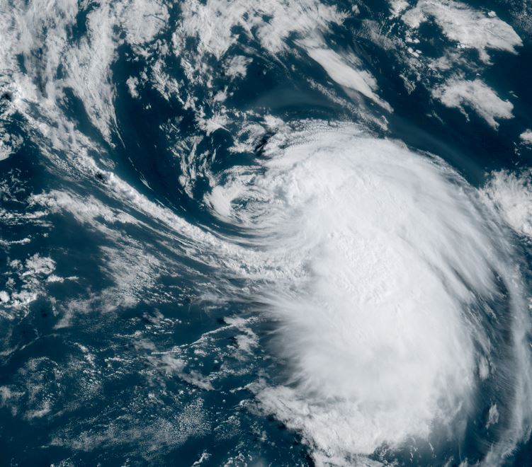
Fernand still disorganized
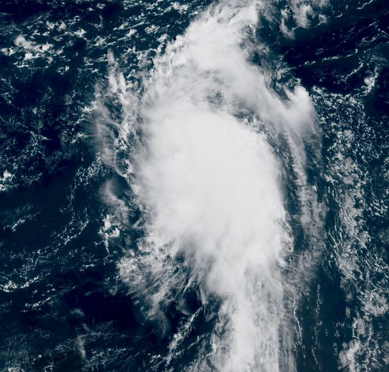
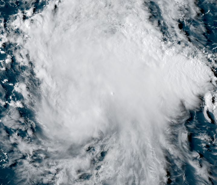
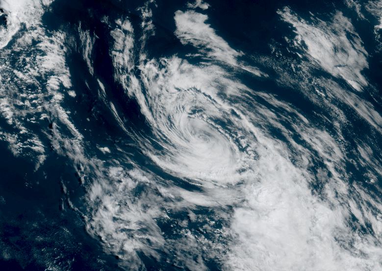
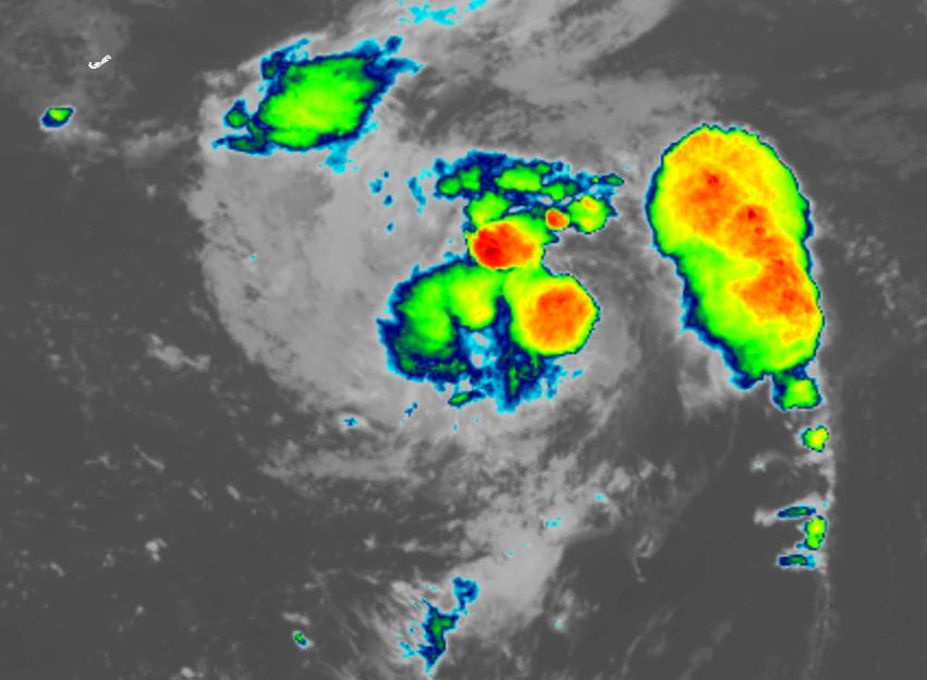
Satellite imagery shows sporadic deep convection. Easterly wind shear appears to be decreasing allowing for this deep convection to build west of the low center the past few hours. Some strengthening is likely if this trend continues today. Fernand poses no threat to land areas.
The Weather Situation
SUMMARY OF 500 AM AST...0900 UTC...INFORMATION
----------------------------------------------
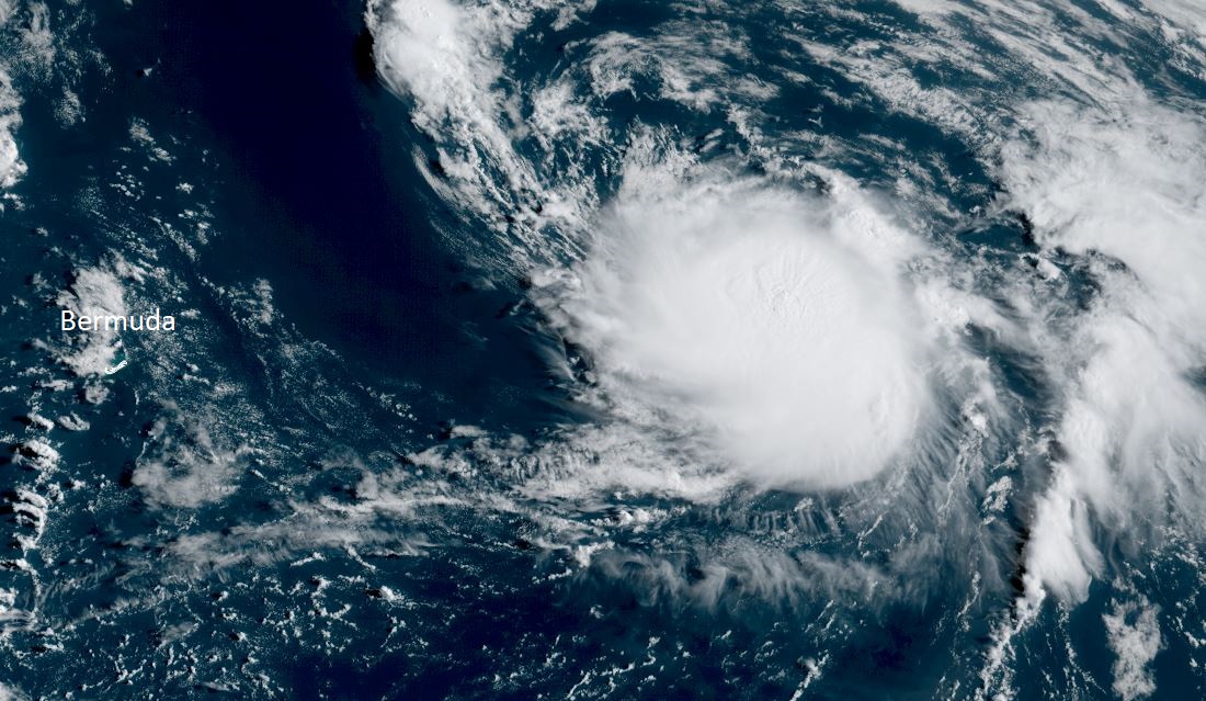
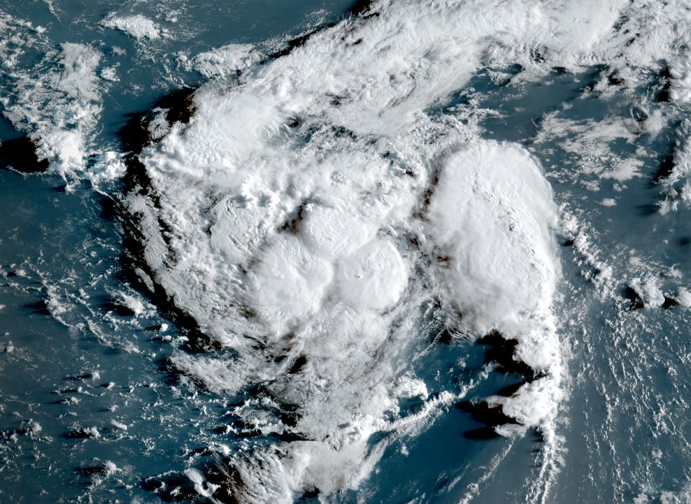
LOCATION...29.7N 60.7W
ABOUT 300 MI...485 KM SE OF BERMUDA
MAXIMUM SUSTAINED WINDS...40 MPH...65 KM/H
PRESENT MOVEMENT...NNE OR 15 DEGREES AT 15 MPH...24 KM/H
MINIMUM CENTRAL PRESSURE...1010 MB...29.83 INCHES
Tropicast: RAMMB/CIRA slider GOES 19 Visible Satellite
 Tropicast: RAMMB/CIRA slider GOES 19 IR Satellite
 Tropical Weather Forecast:
Fernand is expected to stay in the open Water of the Atlantic moving generally north. It should pass well to the east of Bermuda with possibly some showers affecting the area. Fernand is not expected to become a hurricane as it moves into the northern North Atlantic a few days from now.