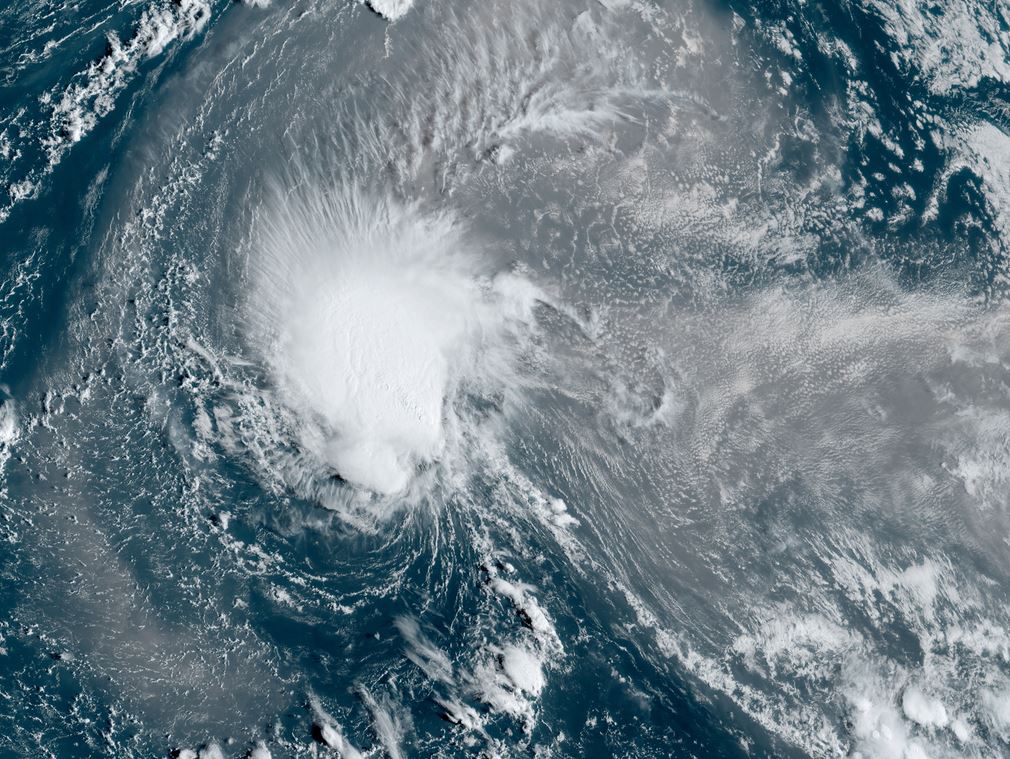
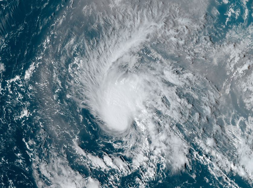
Joyce over open waters
Tropical storm Joyce is over the open waters of the deep tropics. There is a core of deep convection over the circulation. A large area of African dust is seen to the east and northeast of the circulation.
The Weather Situation
SUMMARY OF 500 PM AST...2100 UTC...INFORMATION
----------------------------------------------
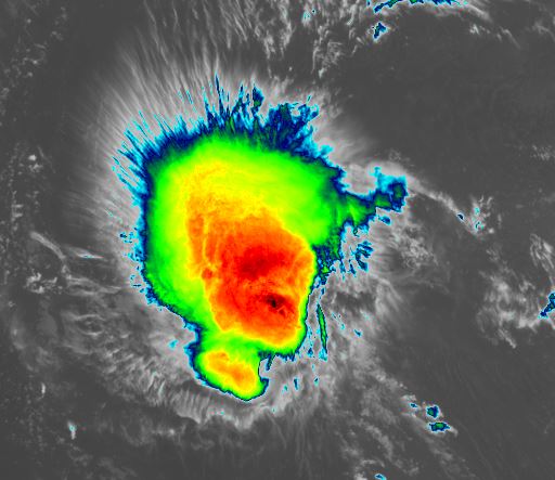
LOCATION...18.6N 44.0W
ABOUT 1250 MI...2015 KM E OF THE NORTHERN LEEWARD ISLANDS
MAXIMUM SUSTAINED WINDS...50 MPH...85 KM/H
PRESENT MOVEMENT...NW OR 305 DEGREES AT 13 MPH...20 KM/H
MINIMUM CENTRAL PRESSURE...1001 MB...29.56 INCHES
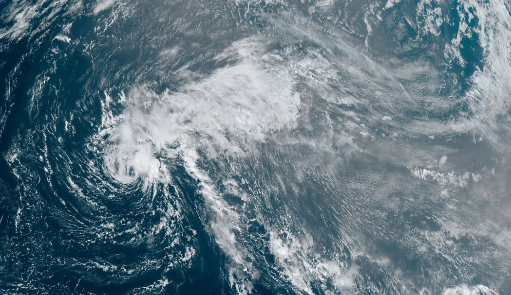
Tropicast: Visible Satellite RAMMB / CIRA Slider Friday Afternoon
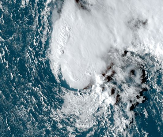
Tropical Weather Forecast:
Joyce will move generally WNW and not affect land. Upper air winds should increase wind shear and cause convection to be ripped from the circulation.