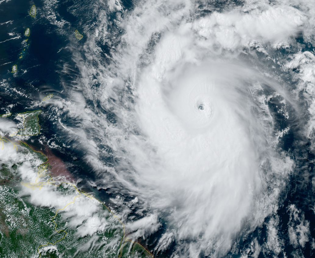
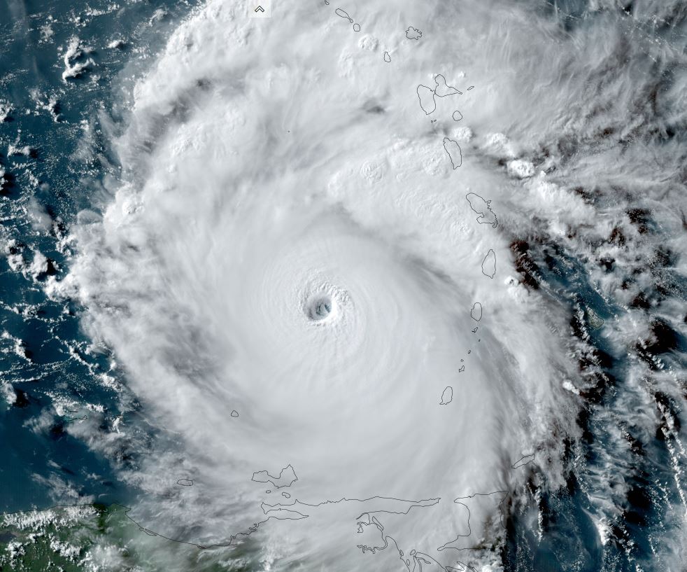
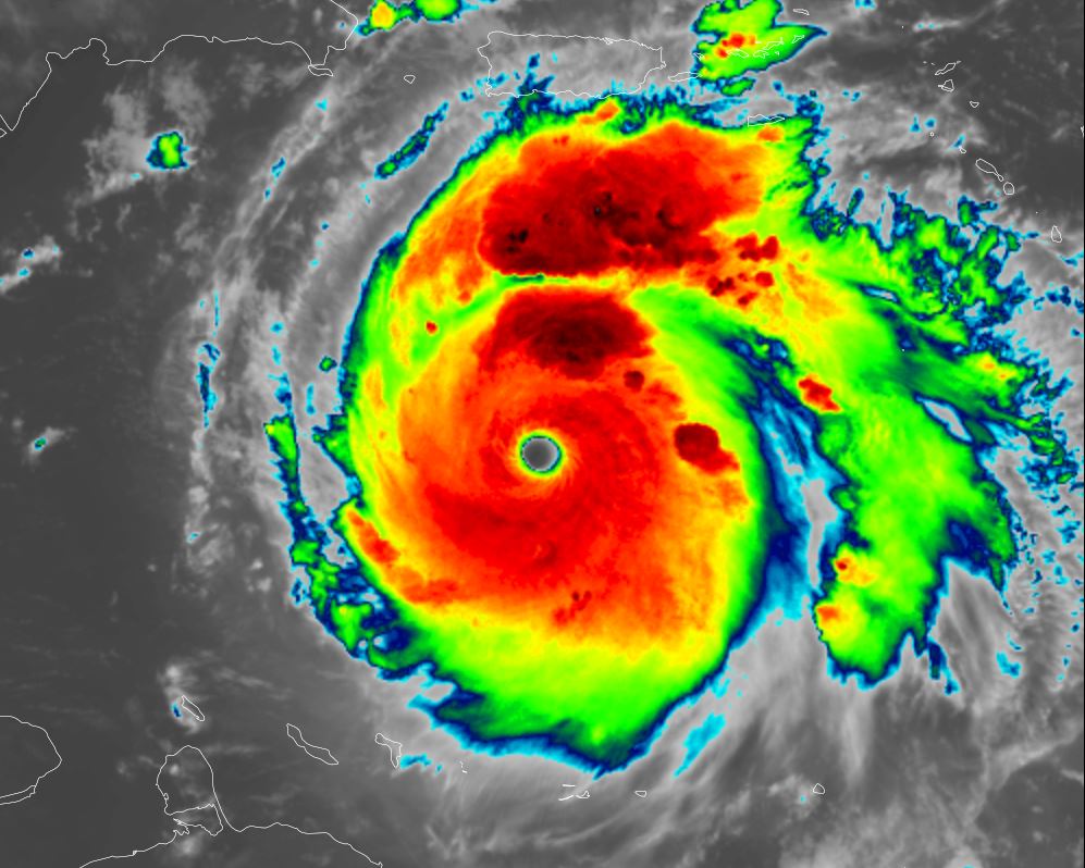
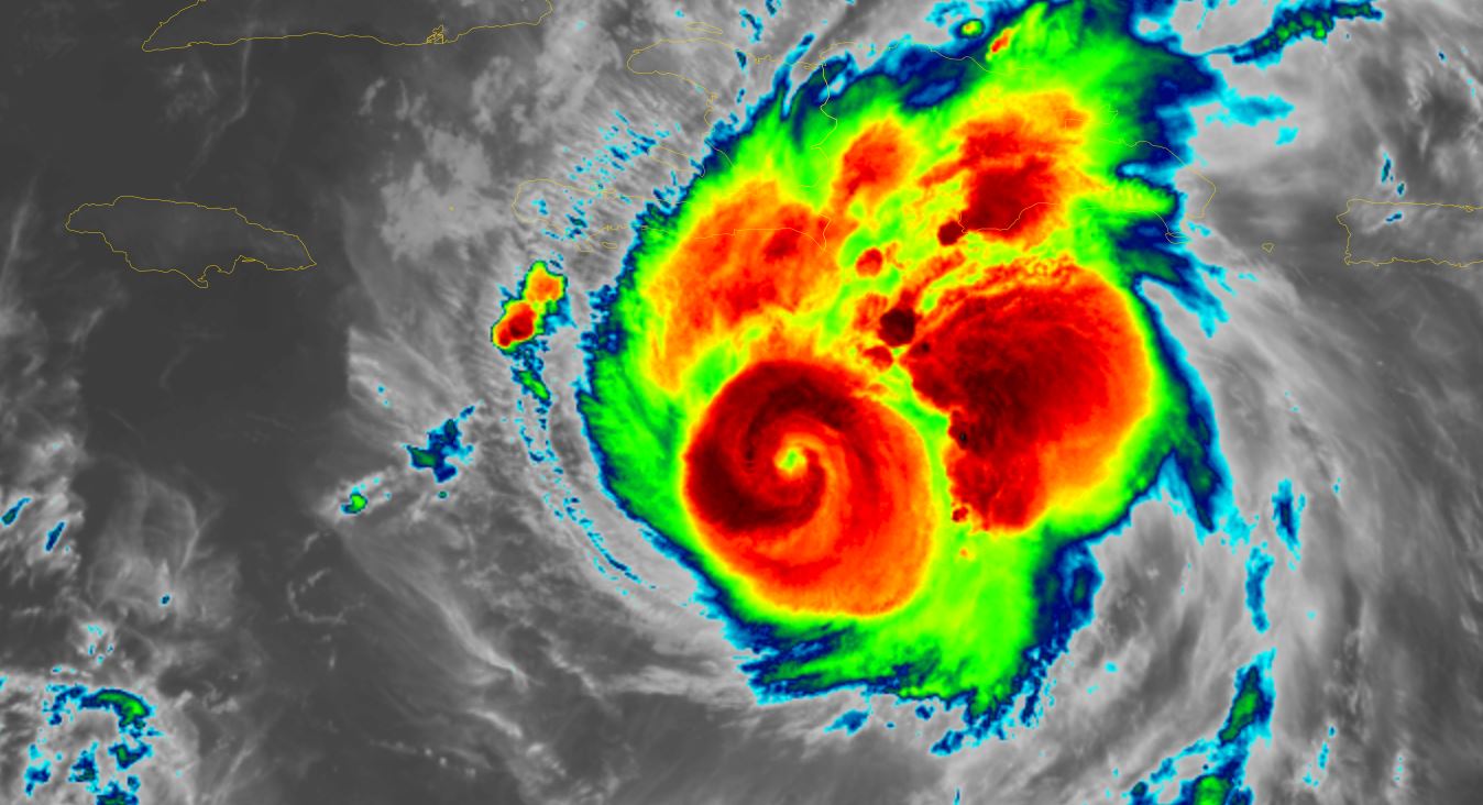
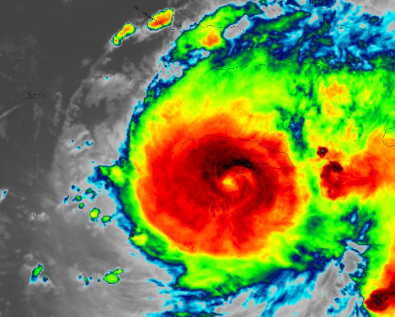
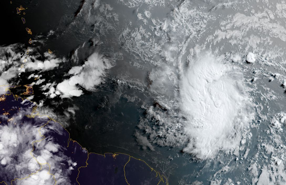
Beryl has solid core
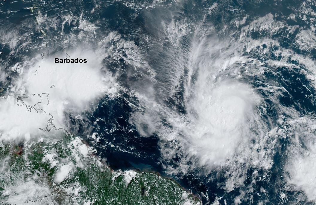
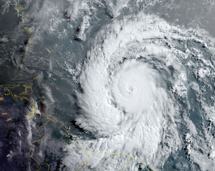
Beryl was classified Friday and has increased in structure appearance. It is at a fairly low latitude and will affect Barbados and other Windward Islands later Sunday which many times escape the worst effects of tropical cyclones.
The Weather Situation
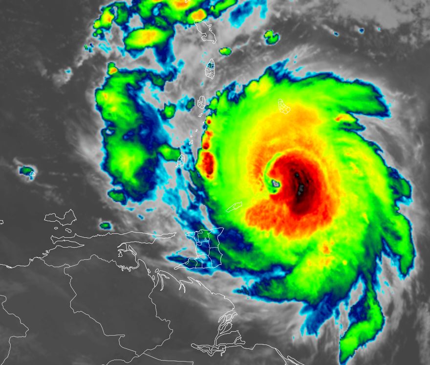
SUMMARY OF 500 AM AST...0900 UTC...INFORMATION
----------------------------------------------
LOCATION...9.8N 45.5W
ABOUT 975 MI...1570 KM ESE OF BARBADOS
MAXIMUM SUSTAINED WINDS...50 MPH...85 KM/H
PRESENT MOVEMENT...W OR 280 DEGREES AT 21 MPH...33 KM/H
MINIMUM CENTRAL PRESSURE...1001 MB...29.56 INCHES
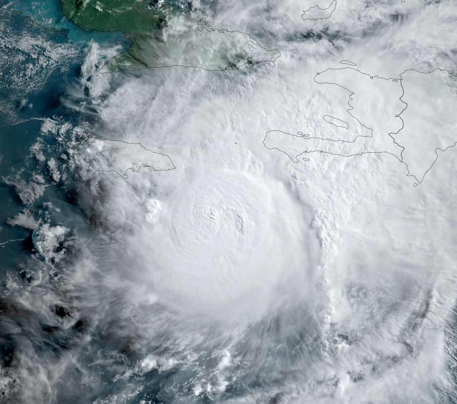
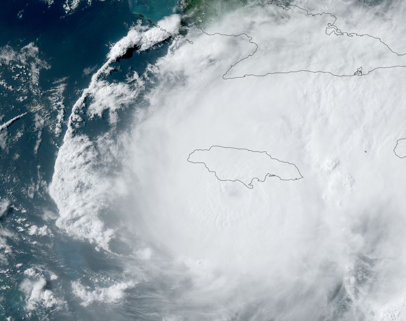
Tropicast: Visible satellite
Tropical Weather Forecast:
Beryl is forecast to track near Barbados by Sunday night and other Windward islands before moving into the eastern Caribbean. It is forecast to become a hurricane.