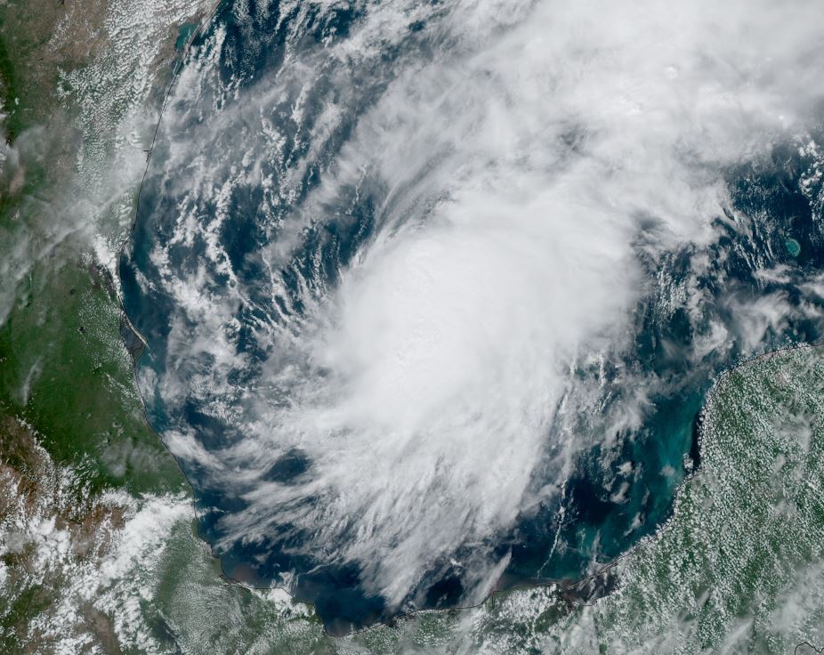
Karl forms in the Bay of Campeche
A very large area of convection exists in the SW Gulf of Mexico and Bay of Campeche. Enough rotation is evident combined with winds to now classify this as a tropical storm.
The Weather Situation
SUMMARY OF 400 PM CDT...2100 UTC...INFORMATION
----------------------------------------------
LOCATION...19.6N 94.4W
ABOUT 120 MI...195 KM ENE OF VERACRUZ MEXICO
ABOUT 215 MI...350 KM ESE OF TUXPAN MEXICO
MAXIMUM SUSTAINED WINDS...40 MPH...65 KM/H
PRESENT MOVEMENT...NW OR 315 DEGREES AT 6 MPH...9 KM/H
MINIMUM CENTRAL PRESSURE...1008 MB...29.77 INCHES
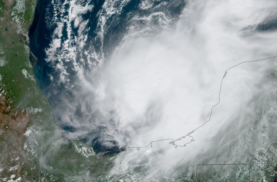
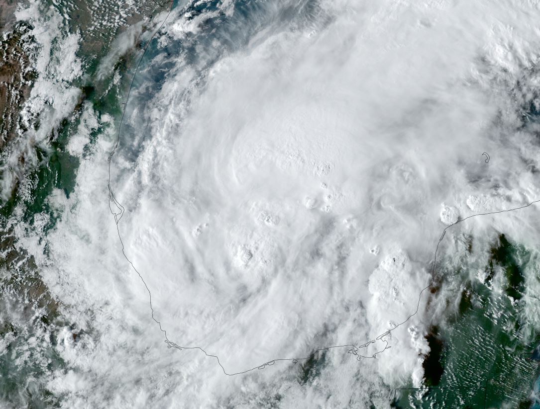
Tropicast: Visible Satellite
Tropical Weather Forecast:
Karl will drift northwest before being pushed west into northeastern Mexico as high pressure builds to the north. The greatest threat at this time is heavy rainfall that can produce flash flooding.