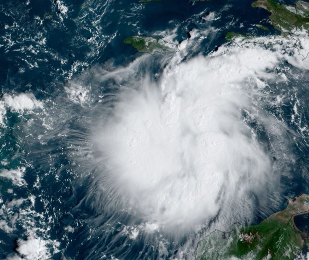
TD 9 in central Caribbean
TD 9 is fighting shear with deep convection well to the east of the circulation. Shear is expected to weaken and development will commence on Saturday.
The Weather Situation
SUMMARY OF 800 PM EDT...0000 UTC...INFORMATION
----------------------------------------------
LOCATION...14.8N 71.5W
ABOUT 410 MI...660 KM ESE OF KINGSTON JAMAICA
ABOUT 720 MI...1160 KM ESE OF GRAND CAYMAN
MAXIMUM SUSTAINED WINDS...35 MPH...55 KM/H
PRESENT MOVEMENT...WNW OR 290 DEGREES AT 15 MPH...24 KM/H
MINIMUM CENTRAL PRESSURE...1006 MB...29.71 INCHES
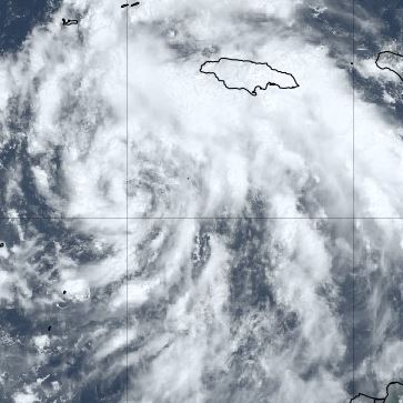
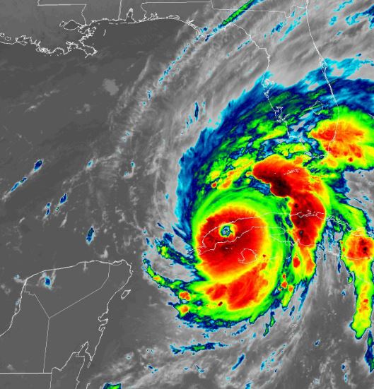
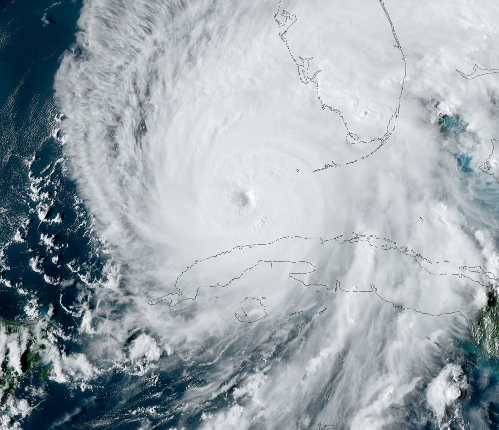
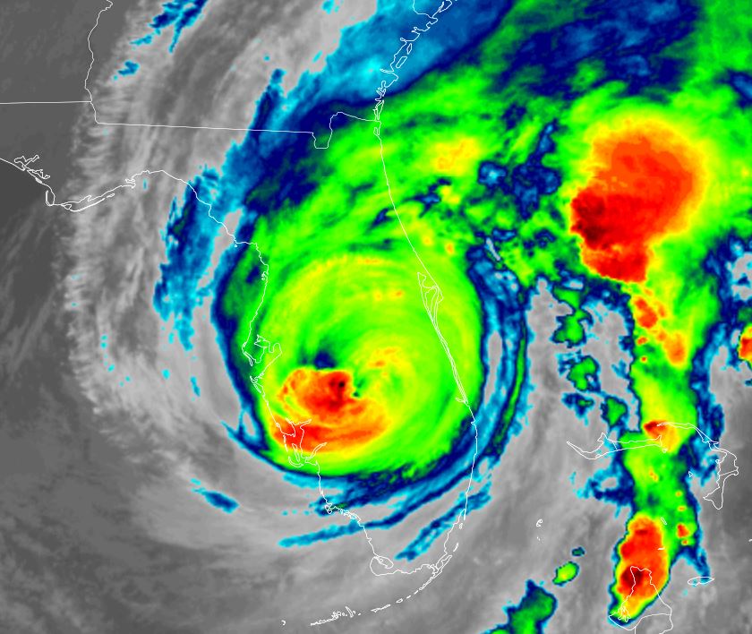
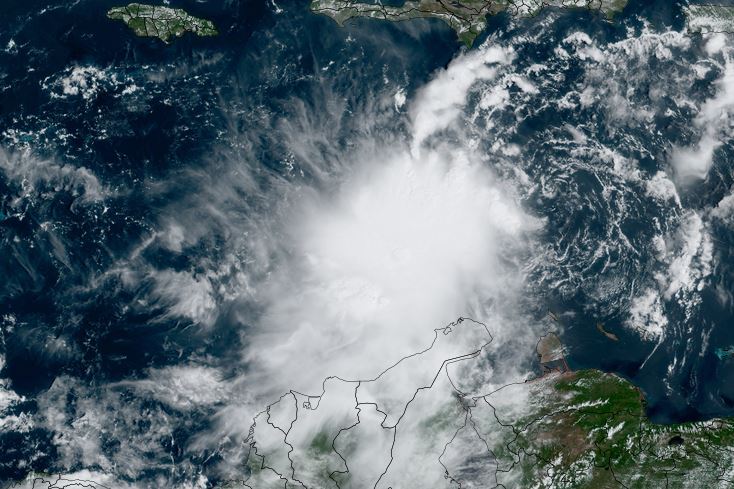
Tropicast: Visible Satellite Friday Afternoon
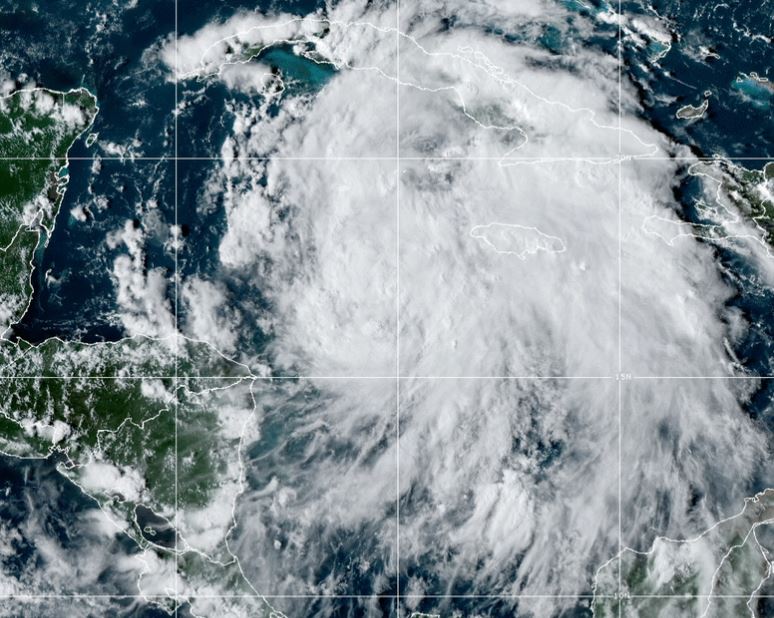
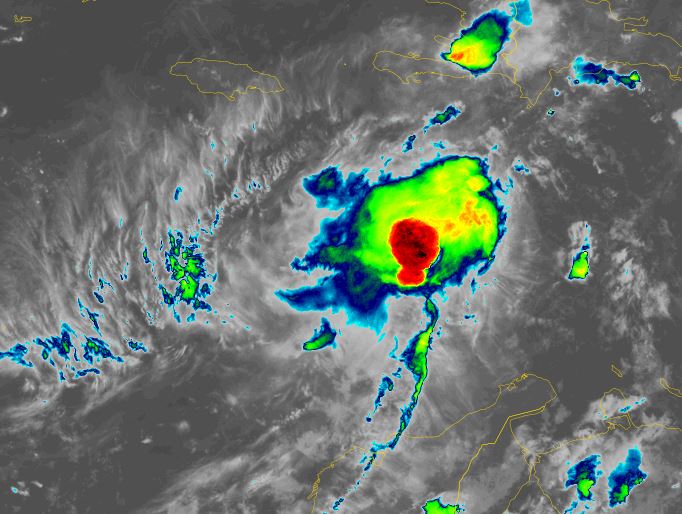
Tropicast: IR Satellite Friday Night
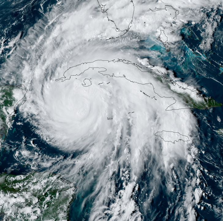
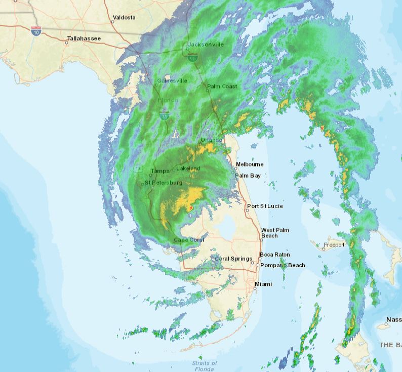
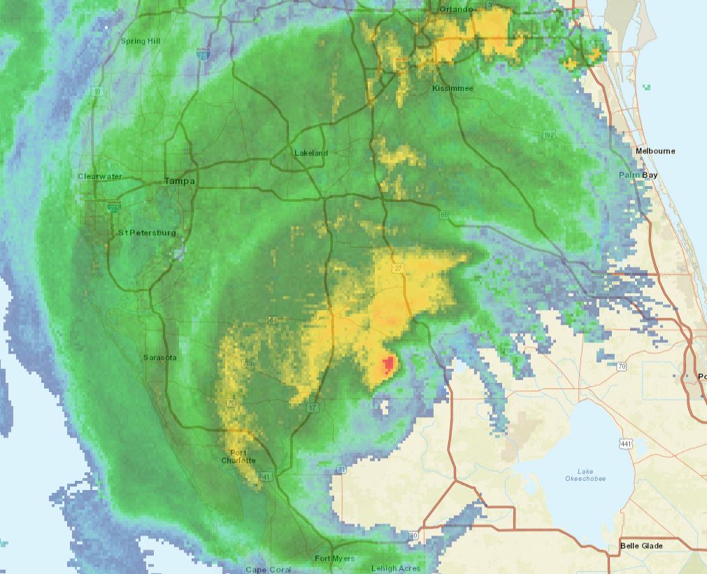
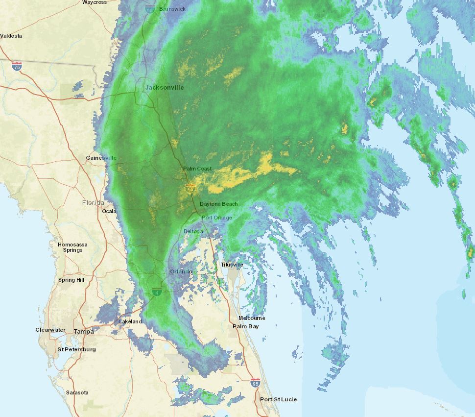
Tropical Weather Forecast:
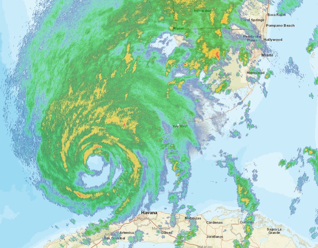
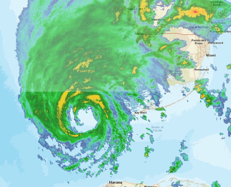
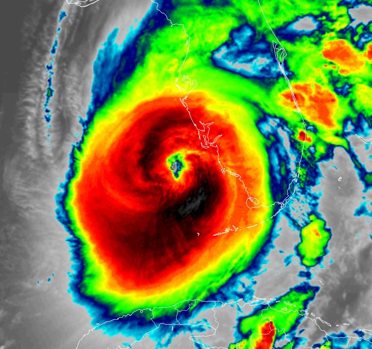
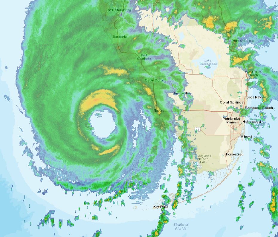
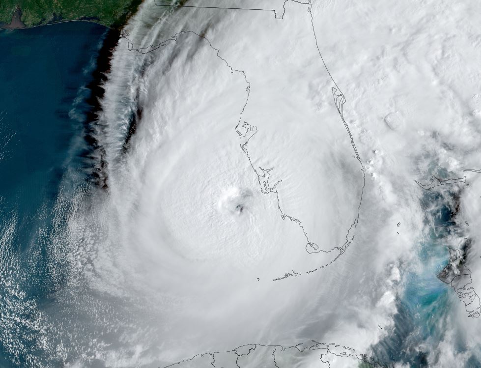
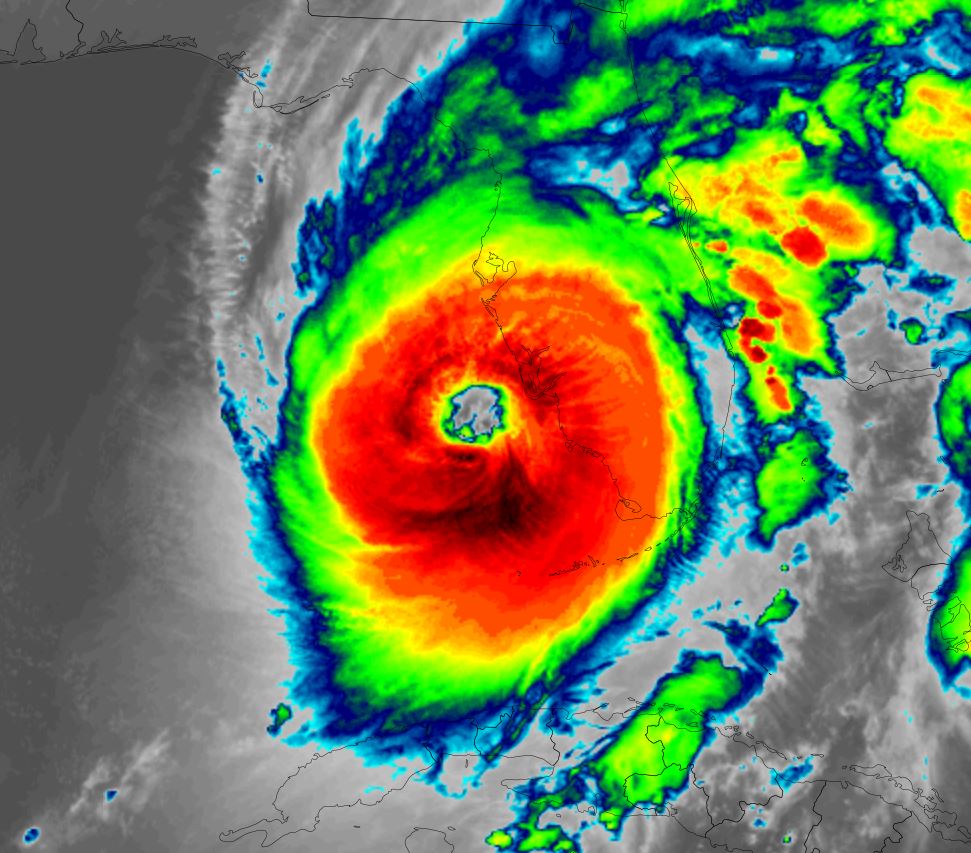
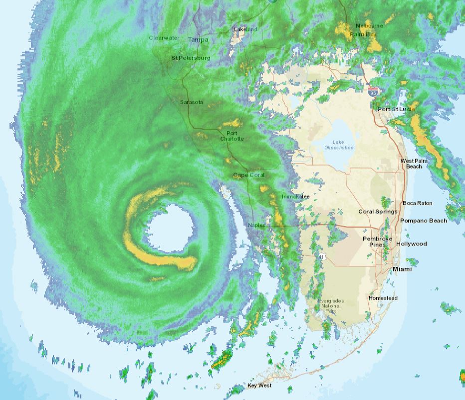
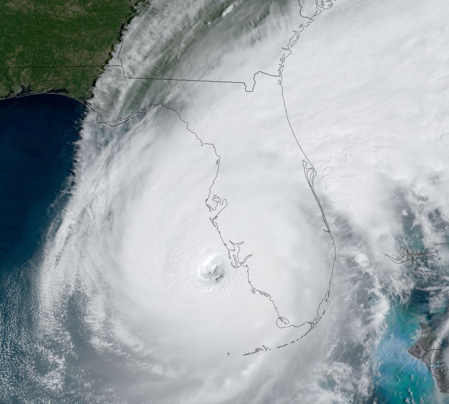
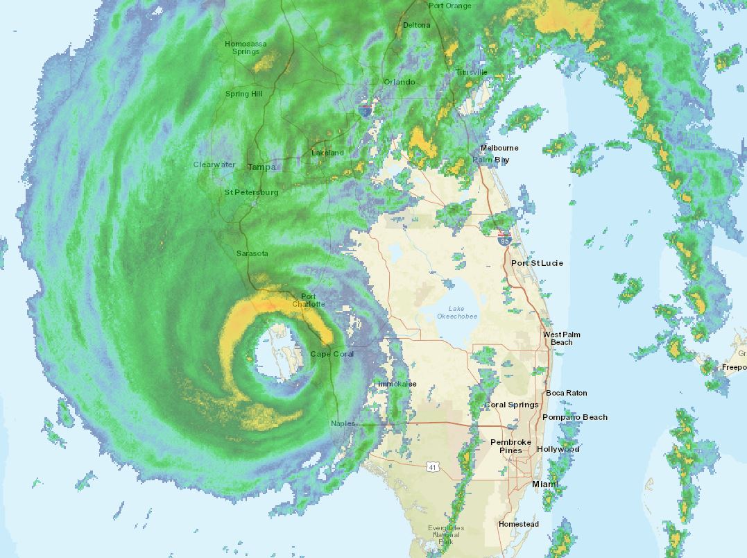
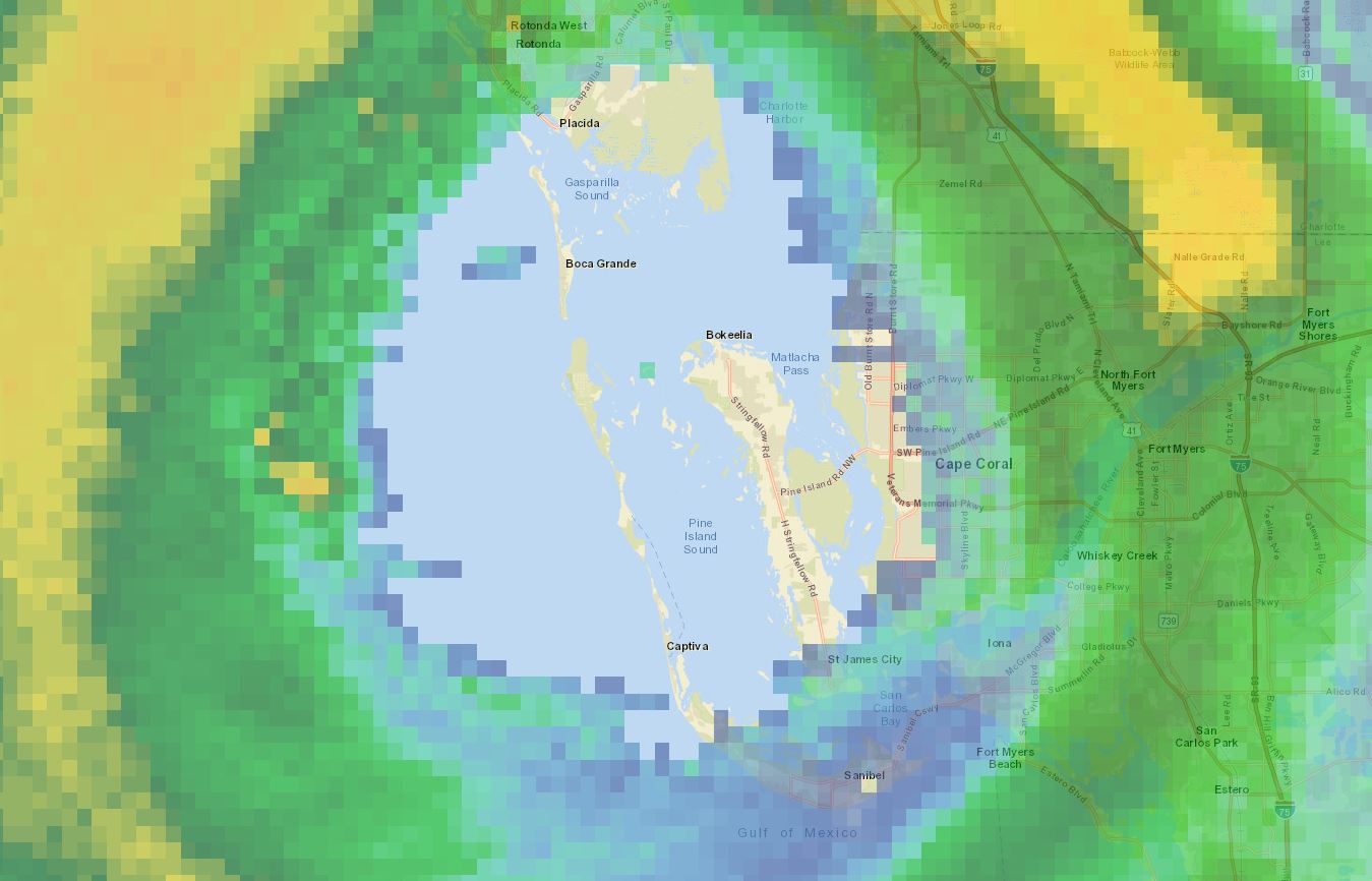
TD 9 will become tropical storm Ian by Saturday. It is expected to cross western Cuba and possibly affect southwestern Florida by next Tuesday / Wednesday as a hurricane.