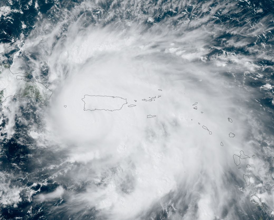
Fiona bringing heavy rainfall to Puerto Rico
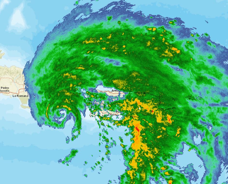
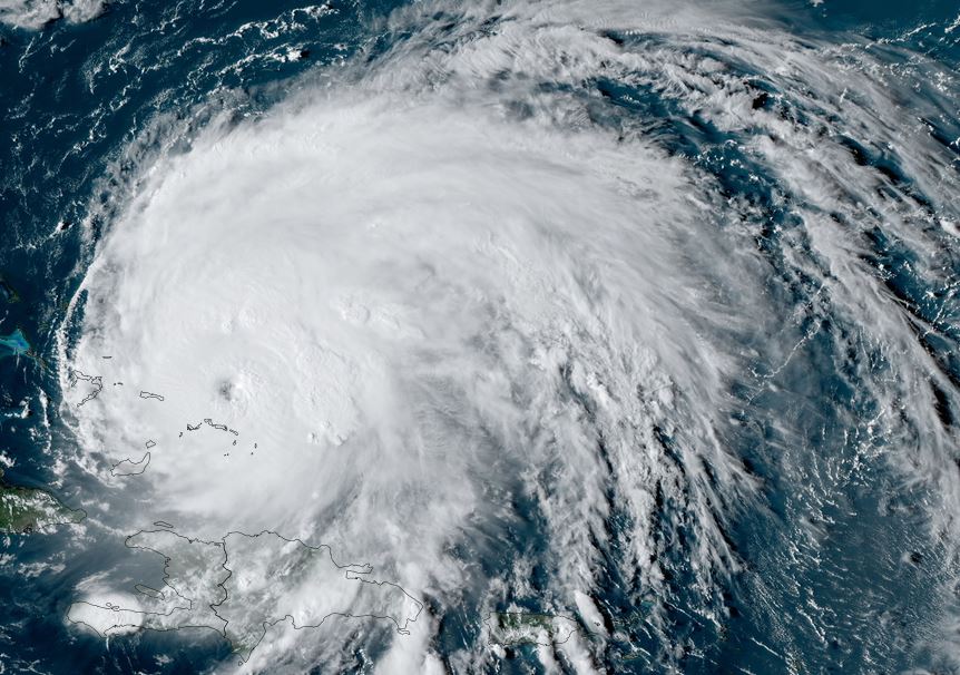
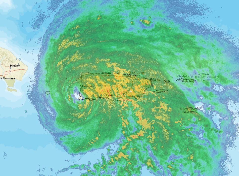
Satellite imagery shows that the strongest part of the eyewall is over the Mona Passage west of Puerto Rico. Despite this, very heavy rainfall continues to affect most of Puerto Rico with a strong, moist flow flowing northward from the Caribbean Sea. Flash flooding and mudslides will continue to be a concern.
The Weather Situation
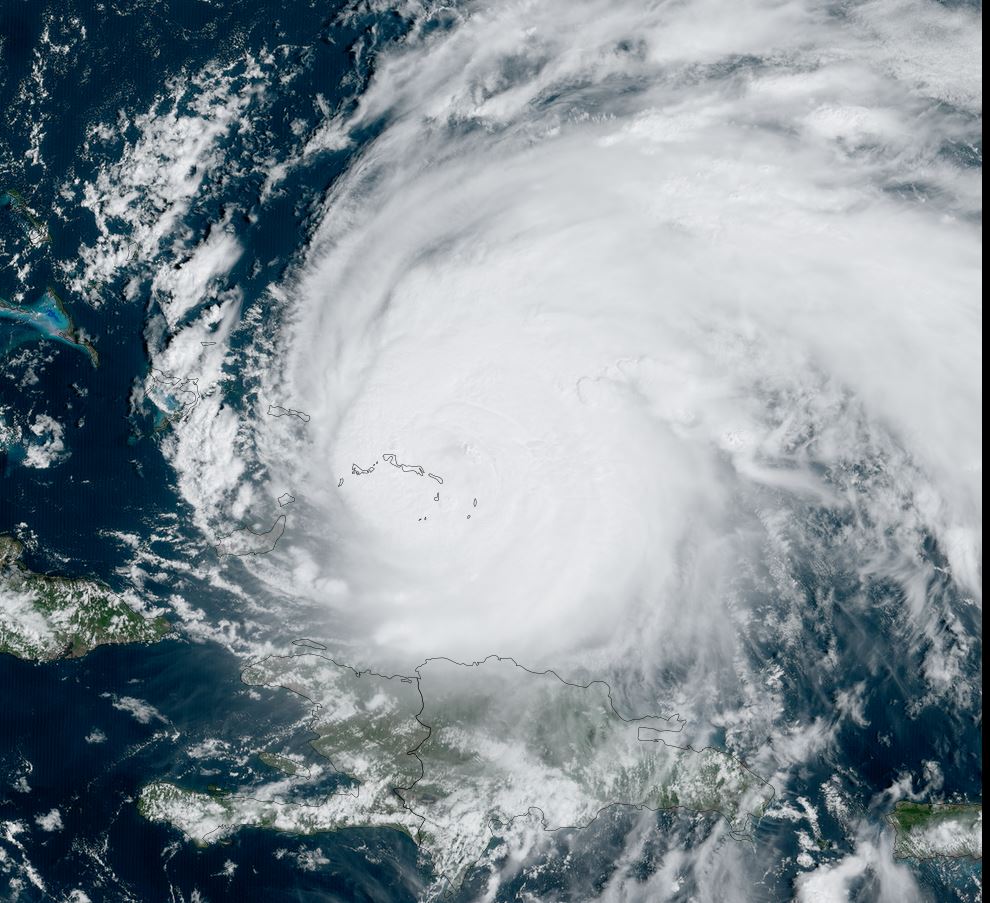
SUMMARY OF 200 PM AST...1800 UTC...INFORMATION
----------------------------------------------
LOCATION...17.8N 66.9W
ABOUT 25 MI...40 KM SW OF PONCE PUERTO RICO
MAXIMUM SUSTAINED WINDS...85 MPH...140 KM/H
PRESENT MOVEMENT...WNW OR 285 DEGREES AT 8 MPH...13 KM/H
MINIMUM CENTRAL PRESSURE...986 MB...29.12 INCHES
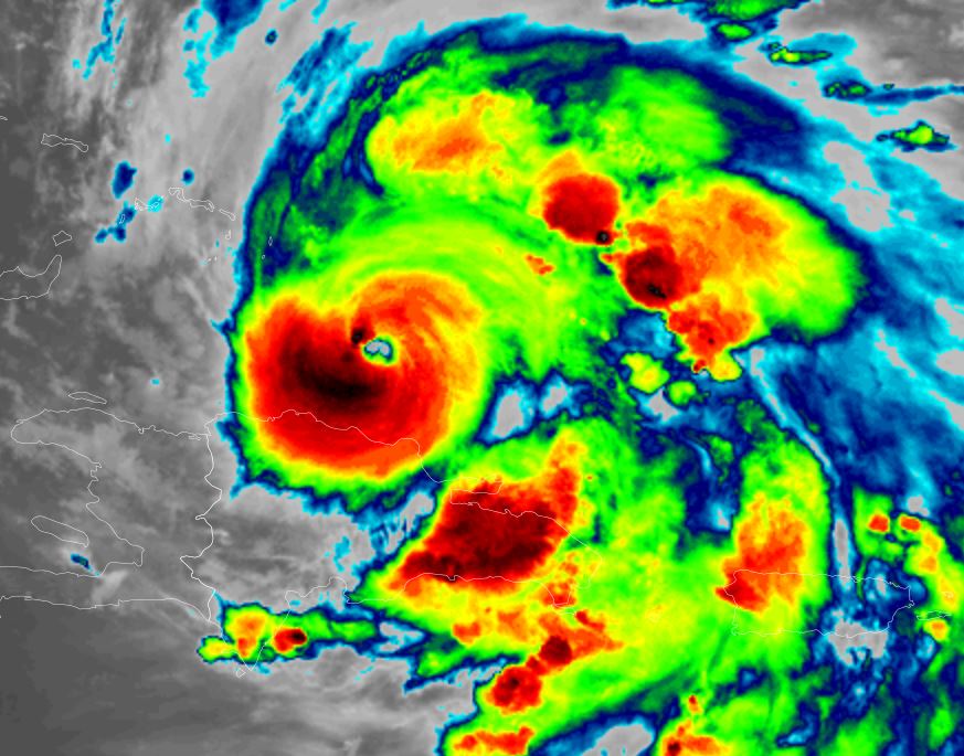
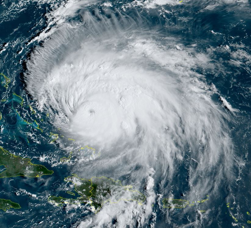
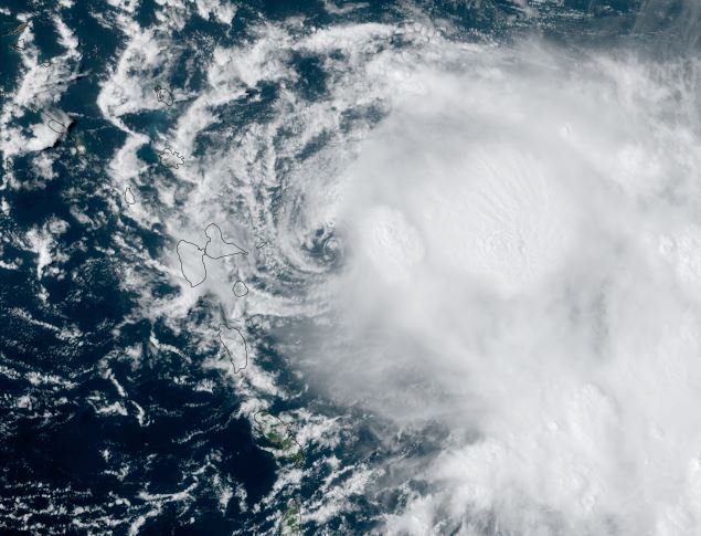
Tropicast: Visible Satellite Friday Afternoon
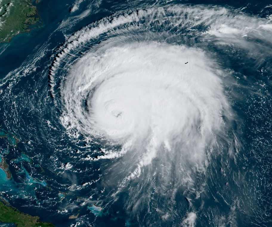
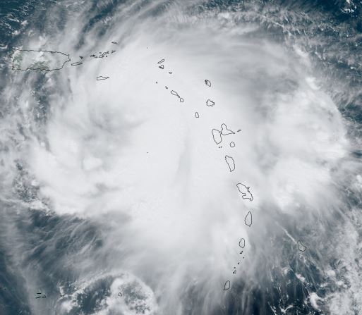
Tropicast: Visible Satellite Saturday Afternoon
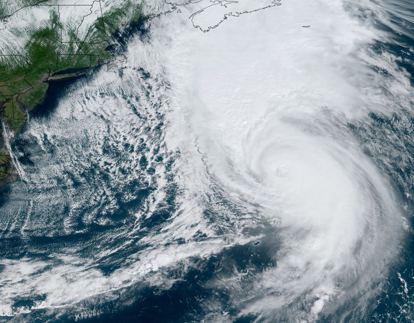
Tropicast: Visible Satellite Sunday Afternoon
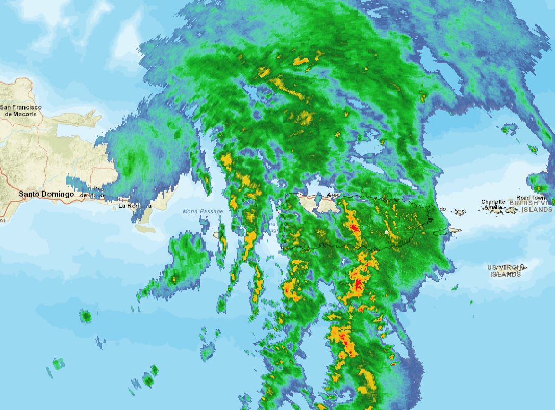
Tropicast: Sunday Afternoon San Juan Radar
Tropical Weather Forecast:
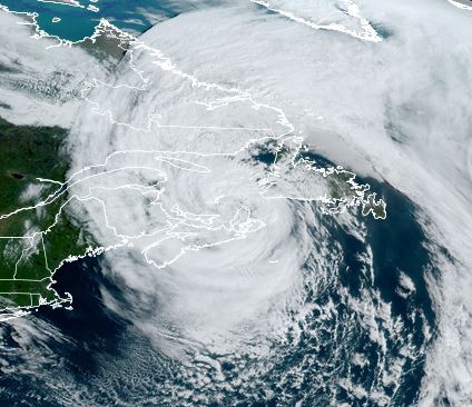
Fiona will move northward soon taking it closer to the Turks and Caicos / SE Bahamas by late Sunday night. It will continue to strengthen and possibly affect Bermuda later this week.