TD 19 forms
The Weather Situation
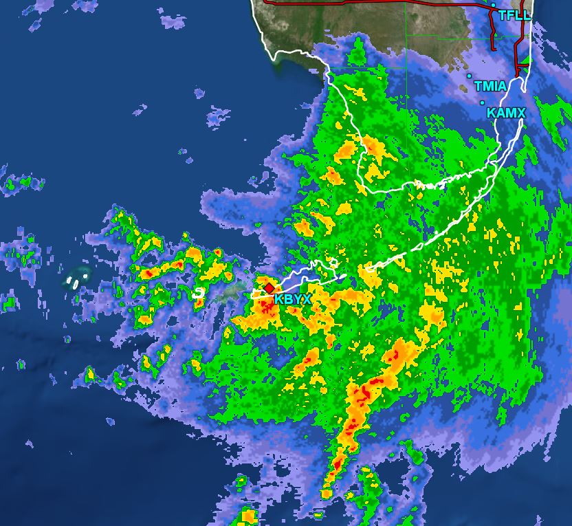
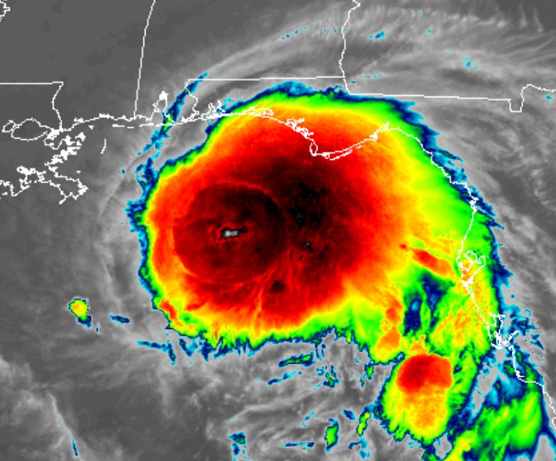
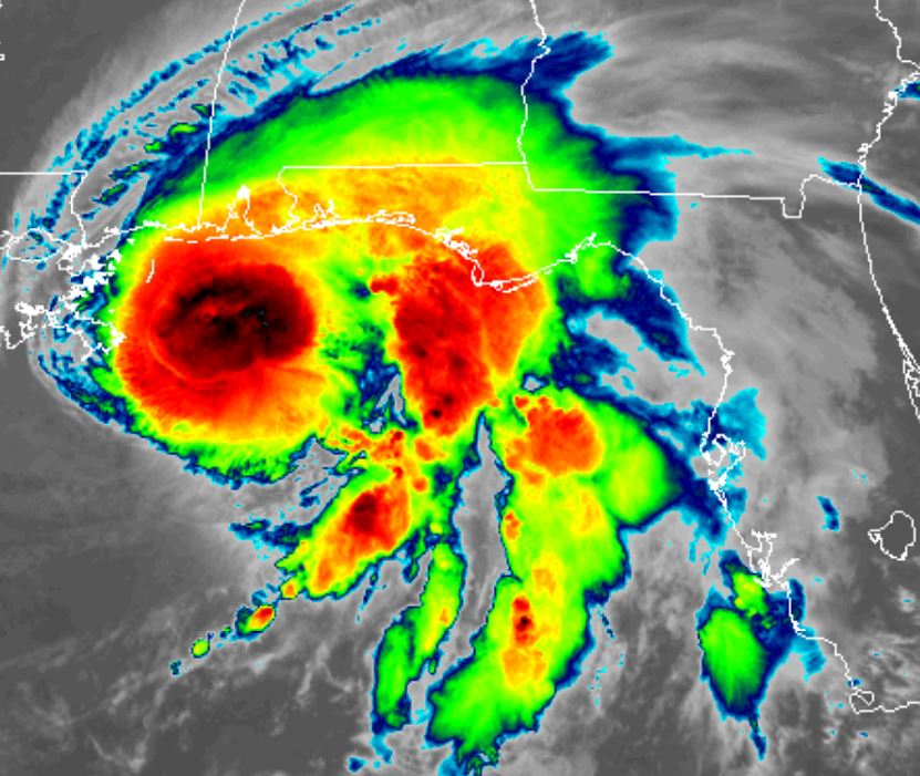
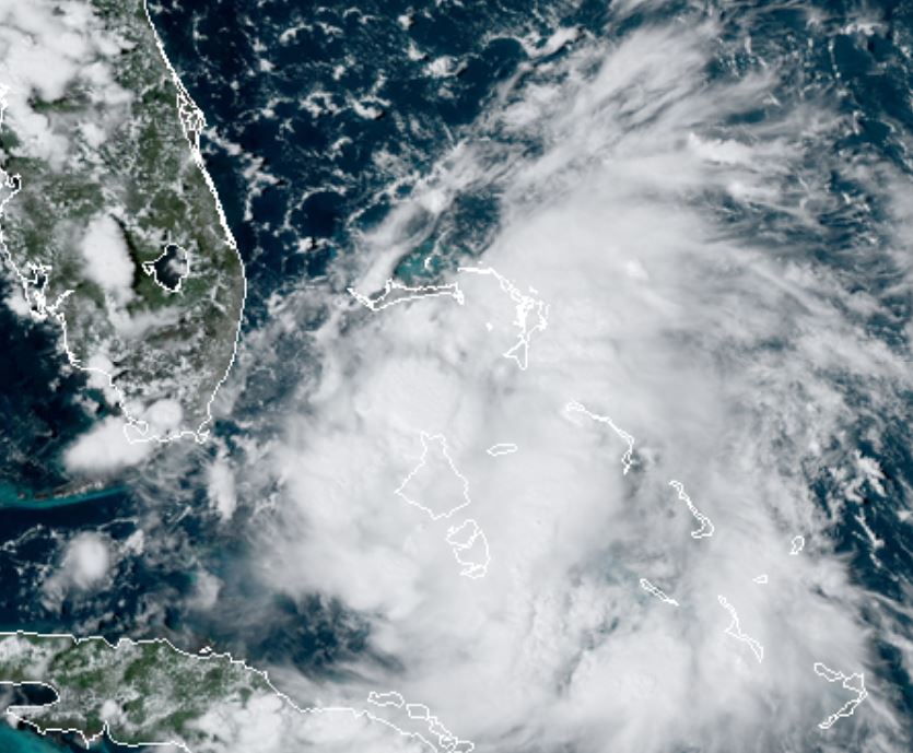
TD 19 shows deep convection most concentrated between Andros Island and Grand Bahama. Heavy rainfall and gusty winds to tropical storm force will be seen over south Florida
For more frequent updates: Twitter: https://twitter.com/richjohnsonwx
Current tropical weather
As of 5:00 PM EDT TD 19 was centered at 25.4 N / 79.0 W or about 80 ESE miles of Miami, FL. It was moving WNW 8 mph. Officially top sustained winds are estimated at 35 mph. Pressure was estimated at 1009 hPa (mb).
Tropical Weather Forecast:
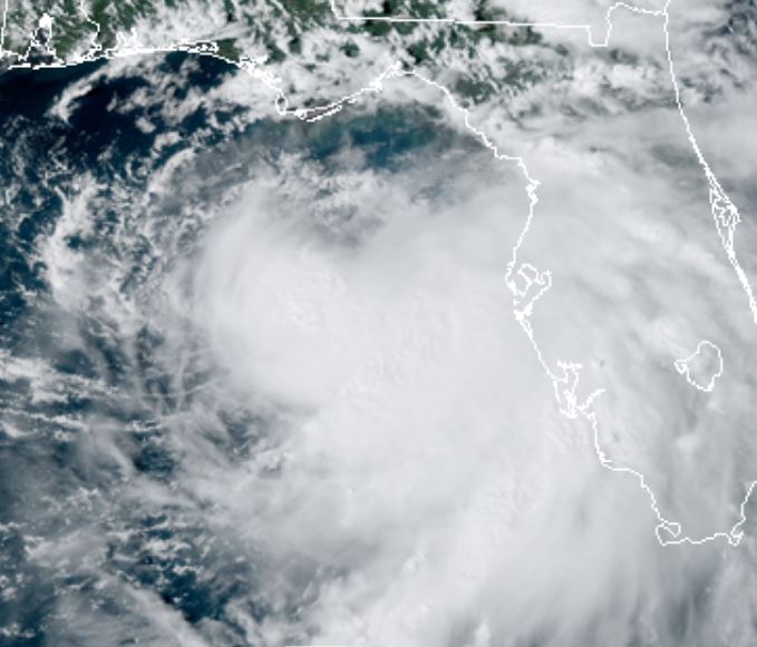
TD 19 will drift over extreme south Florida from the Bahamas into the eastern Gulf. It is expected to become a tropical storm and make landfall on the north central gulf coast by Tuesday. There is a lot of uncertainty on the strength and landfall location due to potential wind shear and the possibility of the low being steered farther west.
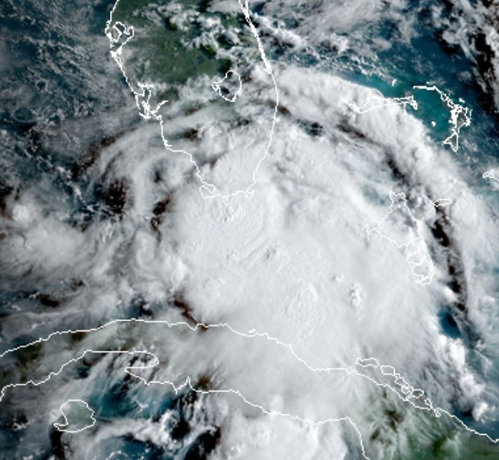
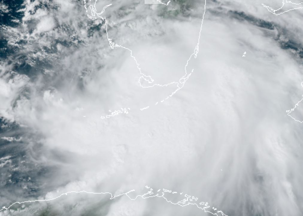
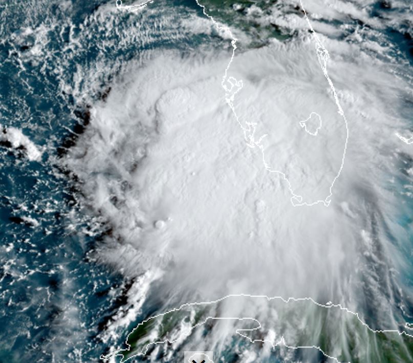
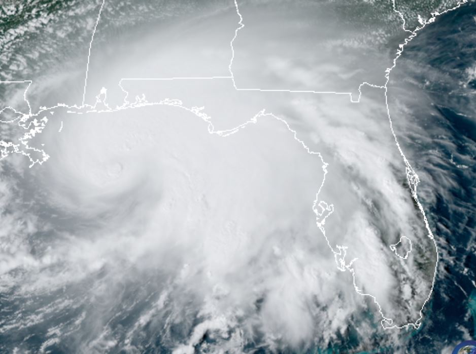
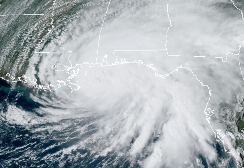
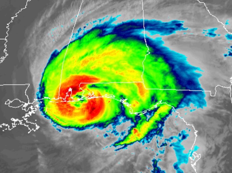
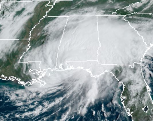
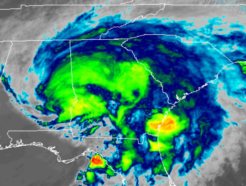
Tropicast: Visible Satellite
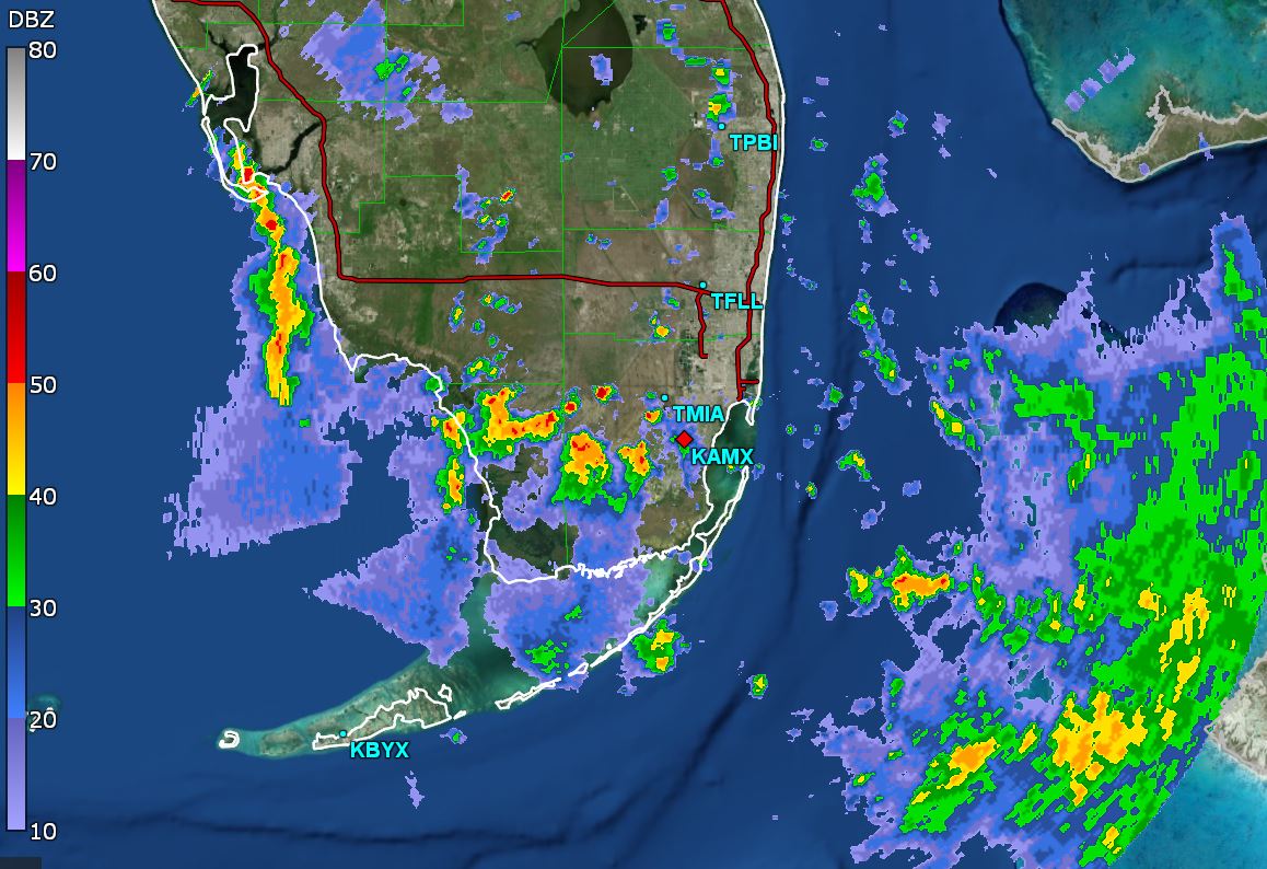
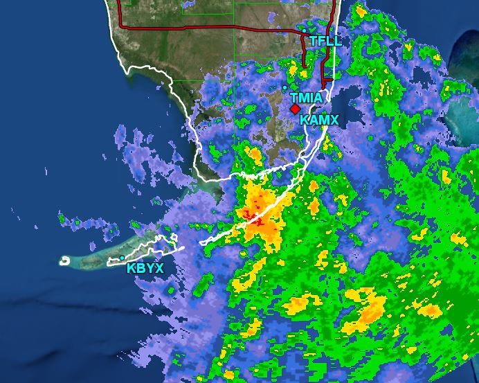
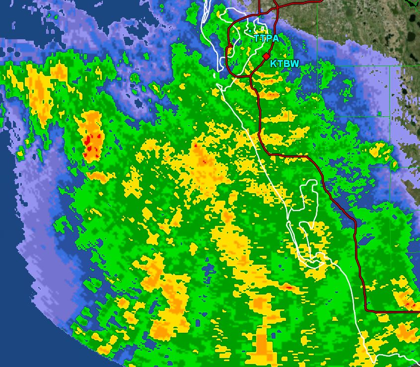
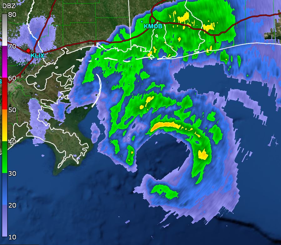
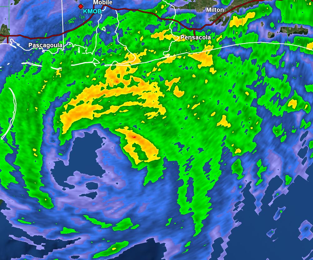
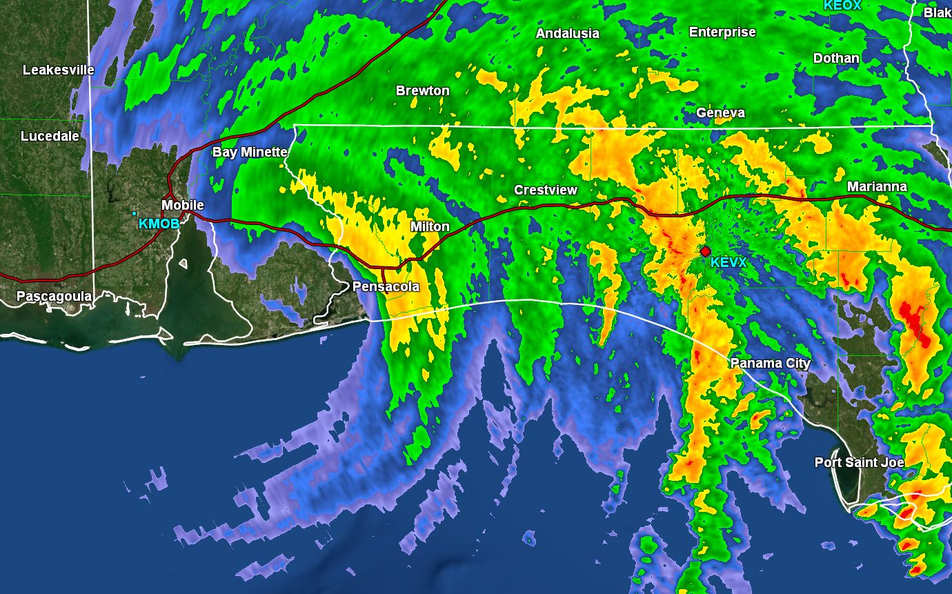
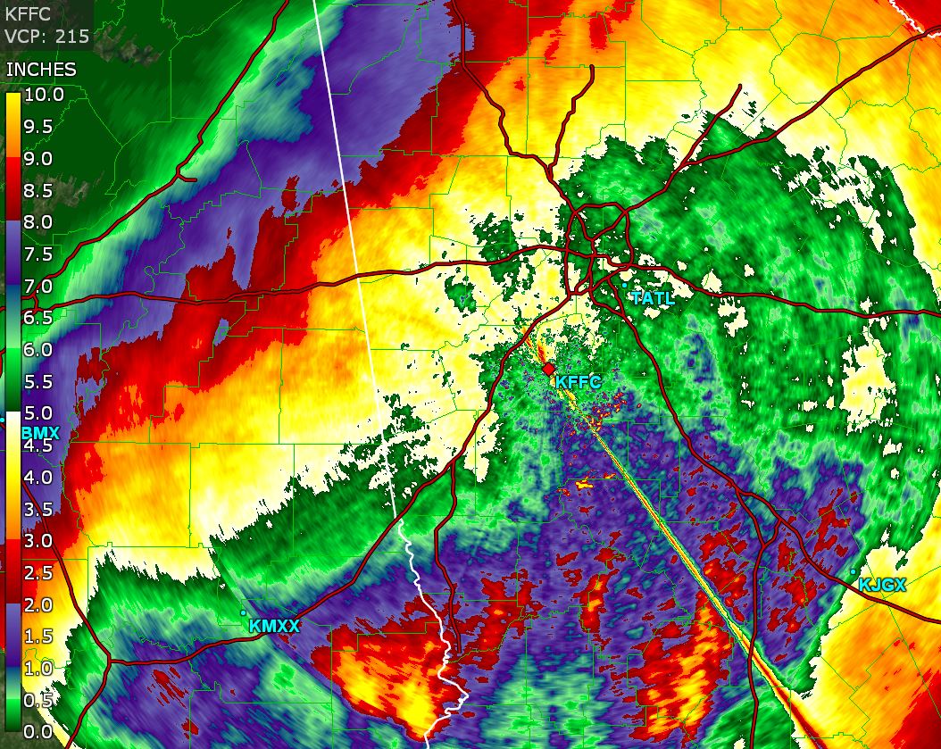
Tropicast: GR Level III Miami Radar