Sunday Morning Update
Paulette strengthens
The Weather Situation
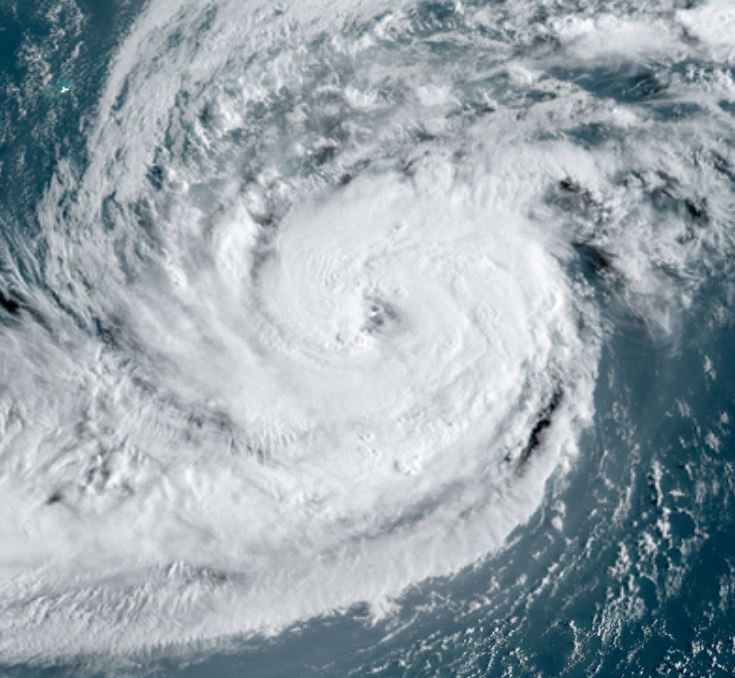
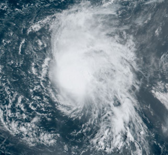
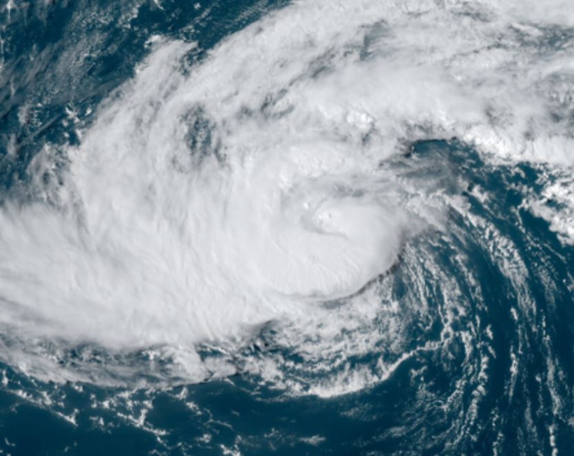
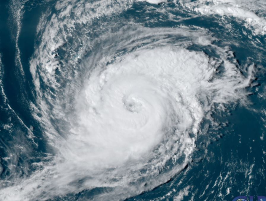
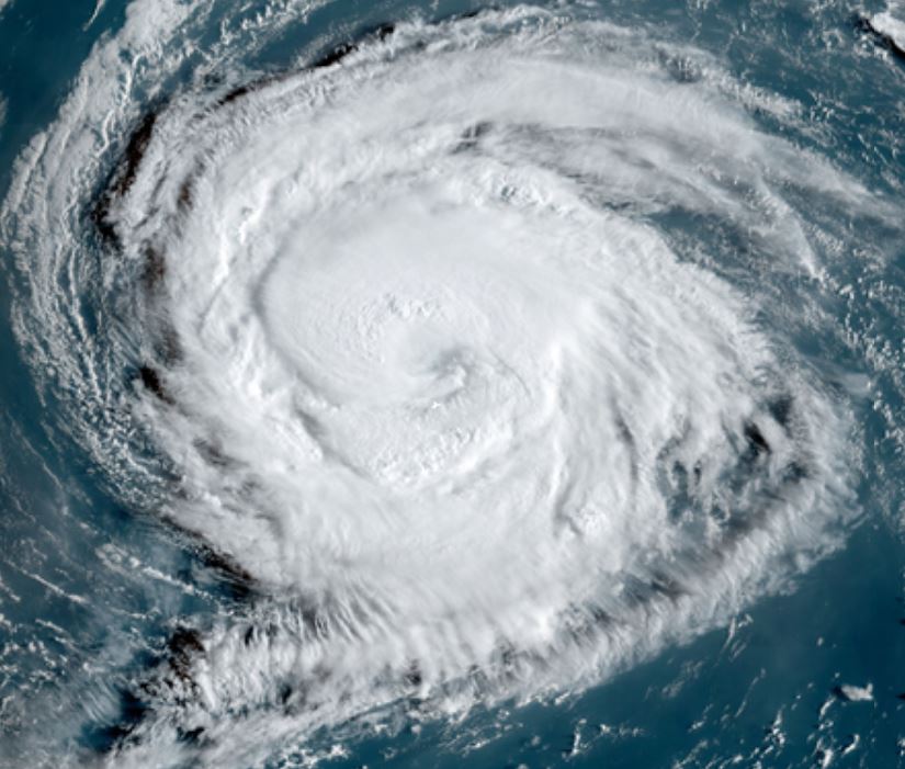
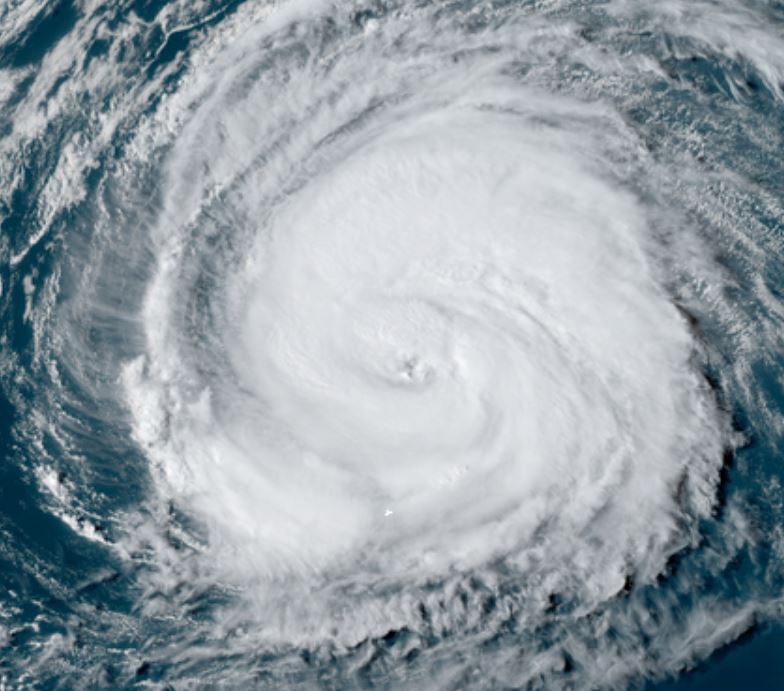
Paulette is slowly strengthening and is a cat 1 hurricane. It looks much more impressive on satellite imagery than its actual strength at this time though. The reason is that deep convection is not a strong as in very strong hurricanes. Hurricane Hunters have verified this with the wind strength. On the satellite imagery below, Bermuda is the white dot in the far top left part of the image.

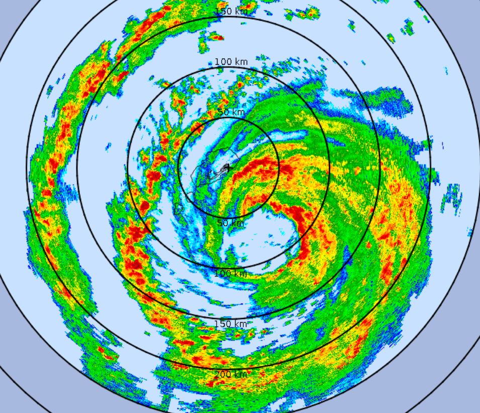
See the official NHC advisory for surge and rainfall totals expected.
For more frequent updates: Twitter:
https://twitter.com/richjohnsonwx
Current tropical weather
As of 8:00 AM AST Hurricane Paulette was centered at 29.6 N / 61.4 W or about 280 miles SE of Bermuda. It was moving WNW 14 mph. Officially top sustained winds are estimated at 80 mph. Pressure was estimated at 978 hPa (mb).
Tropical Weather Forecast:
Forecast models take Paulette very close to Bermuda by later tonight into Monday morning. It should rapidly hook northeast afterwards into the open northern North Atlantic Ocean after passing Bermuda.
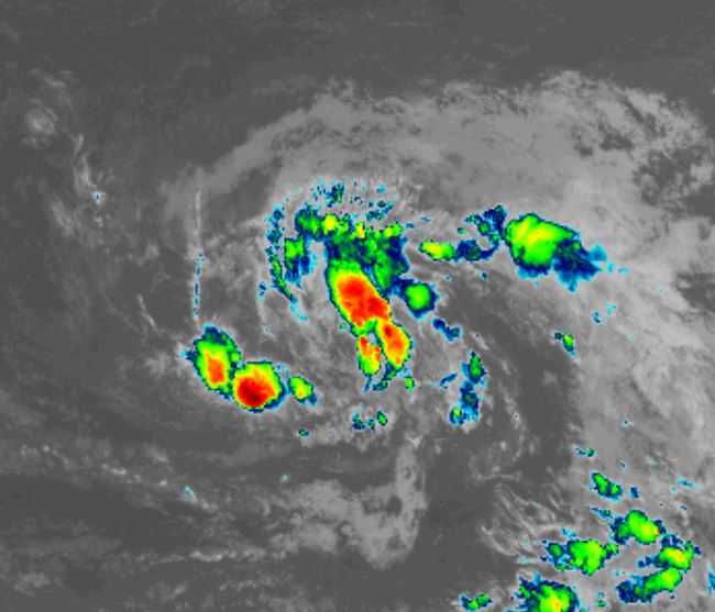
Tropicast: Visible Satellite