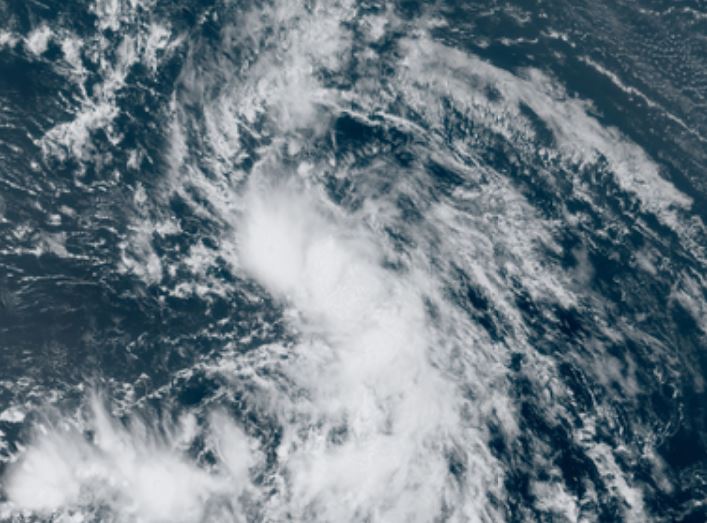
TD 13 slowly organizing
The Weather Situation
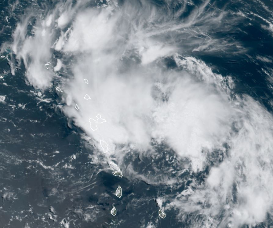
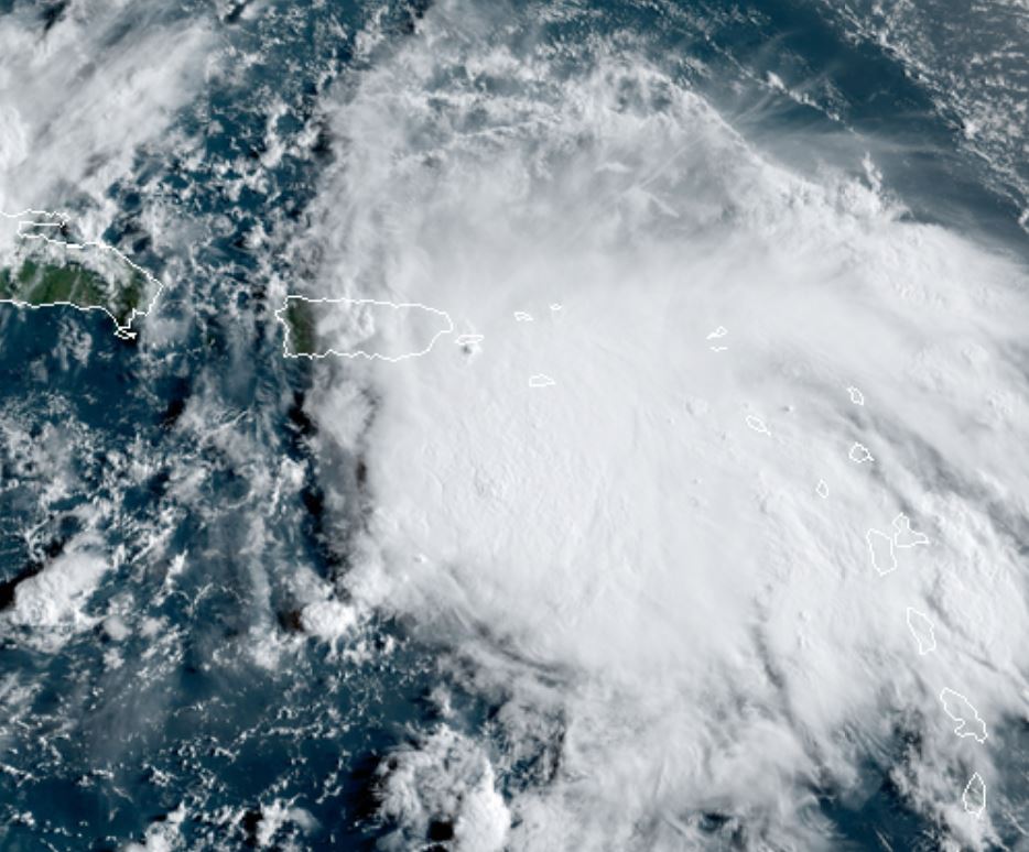
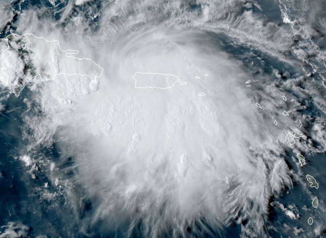
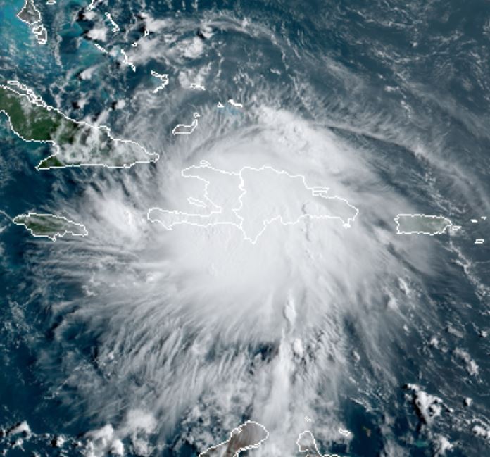
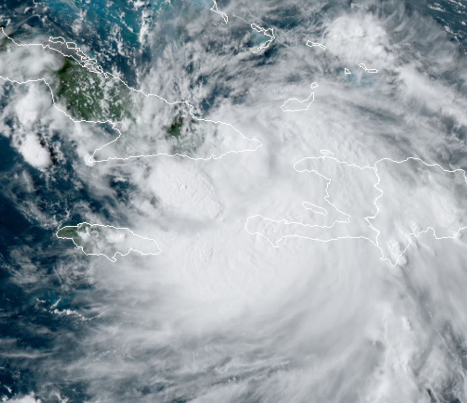
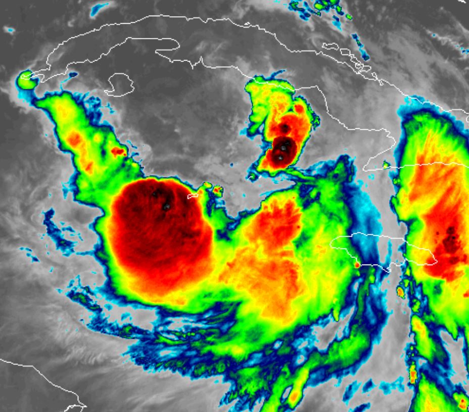
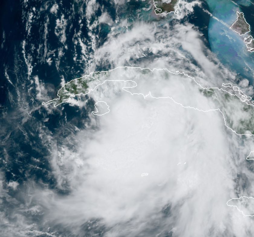
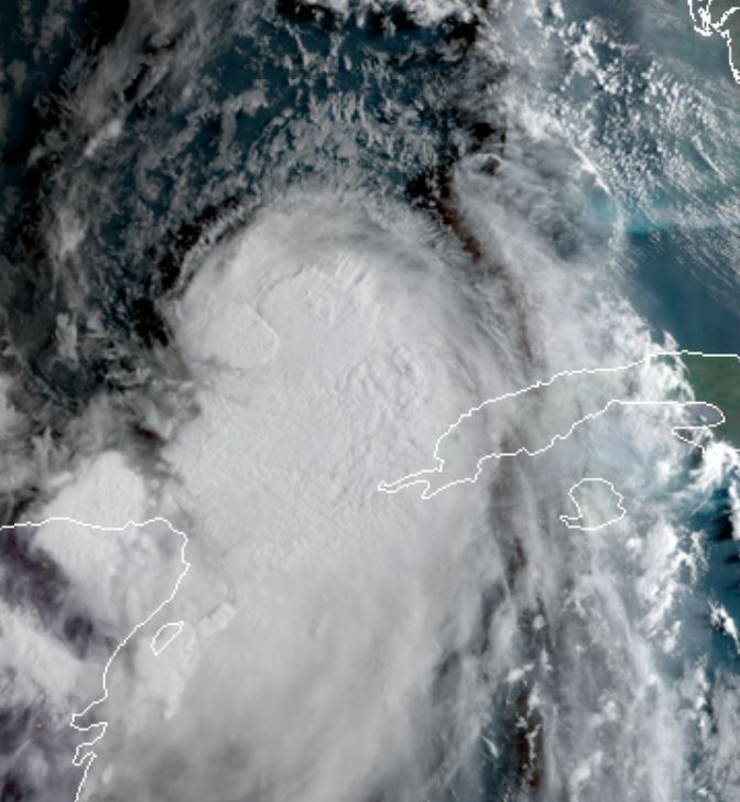
Satellite imagery shows td13 is slowly organizing. Its ultimate strength will be decided how much it interacts with the northern Antilles.
For more frequent updates: Twitter: https://twitter.com/richjohnsonwx
Current tropical weather
As of 11:00 AM AST TD 13 was centered at 16.0 N / 52.0 W or about 750 miles east of the northern Leewards. It was moving WNW 21 mph. Officially top sustained winds are estimated at 35 mph. Pressure was estimated at 1008 hPa (mb).
Tropical Weather Forecast:
TD 13 is predicted to move WNW over the next several days. This will take it either over the northern Antilles or just to the north. If it moves north of the northern Antilles it will develop into a stronger tropical cyclone. Interests in the northern Antilles and Florida / southern Bahamas should follow TD 13 closely.
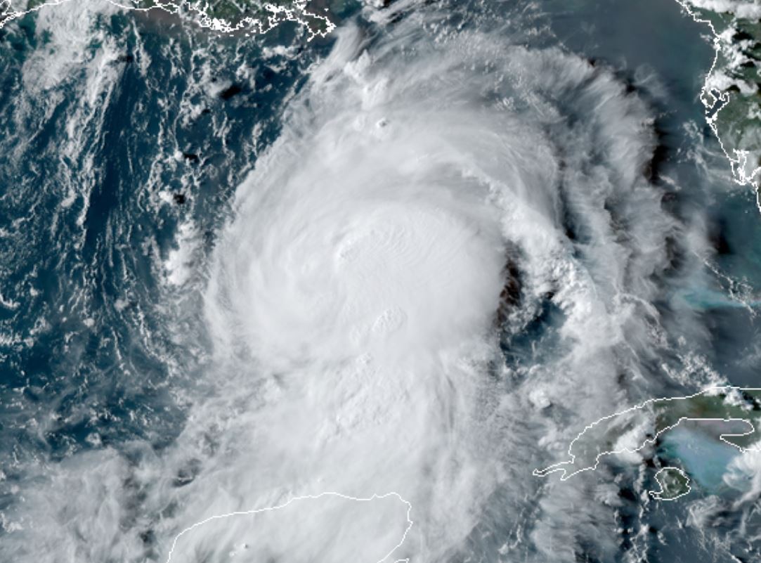
Tropicast: Visible Satellite