Friday Morning Update
Isaias upgraded
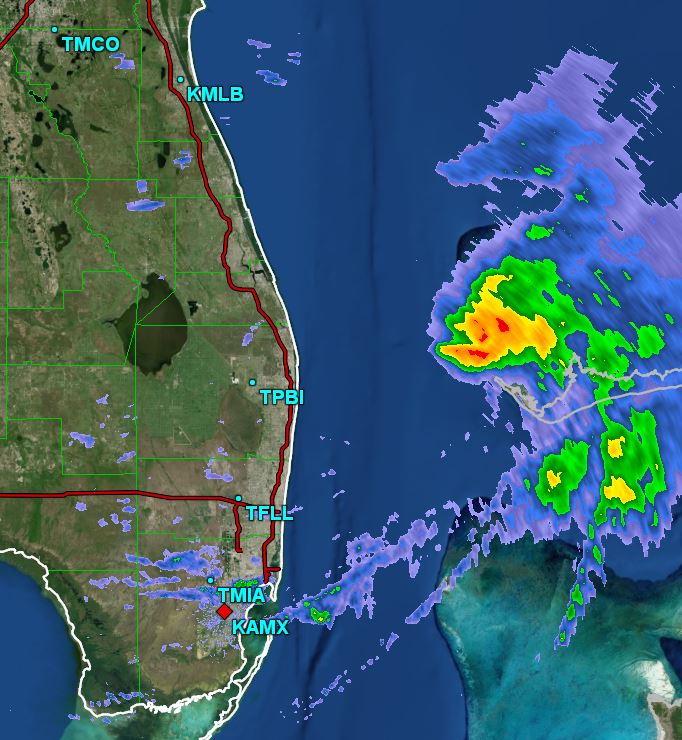
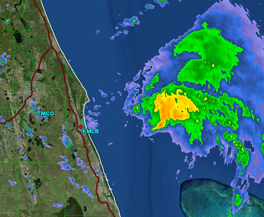
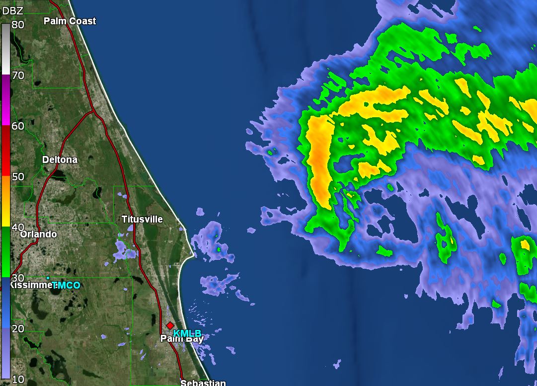
The Weather Situation
Models this morning - GFS and Euro - are both more in line with continuity from last nights runs. The Euro may be a touch to the east from the previous run. Both are in the vicinity of the far northwestern Bahamas late Saturday afternoon. It was interesting to read NHC's discussion as they basically did not know what model was best and said we'll go with consensus.
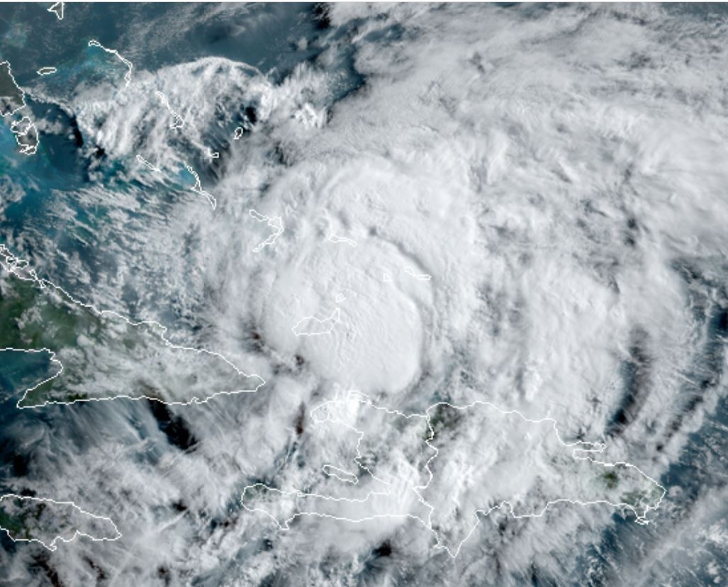
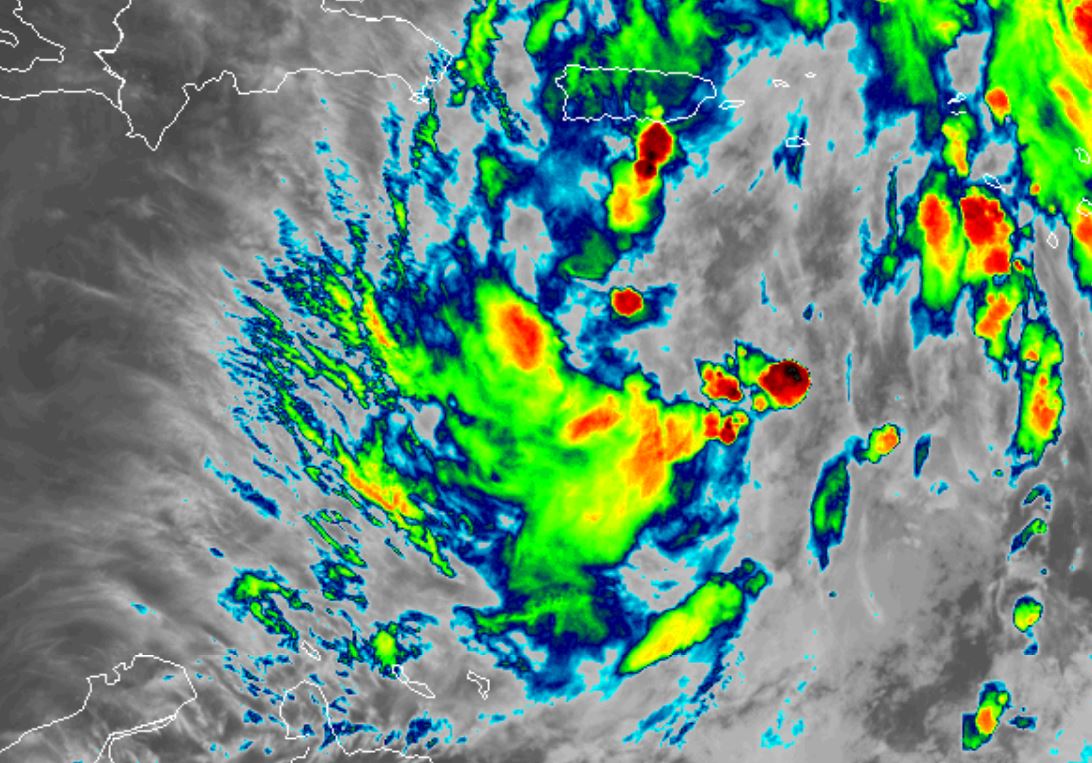
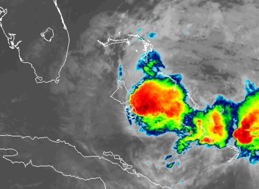
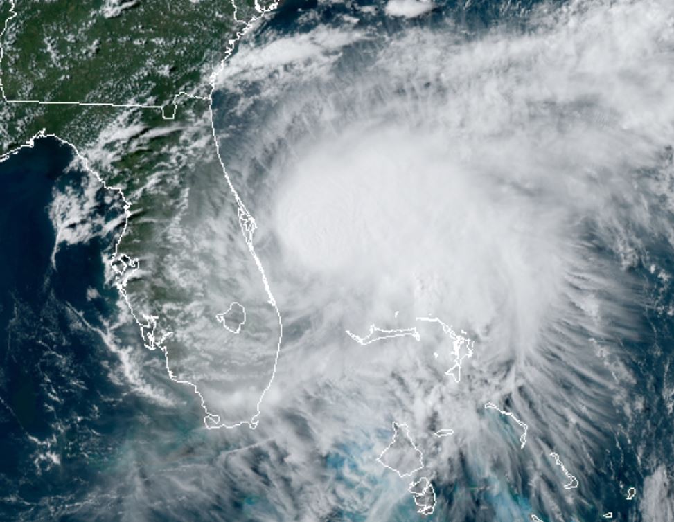
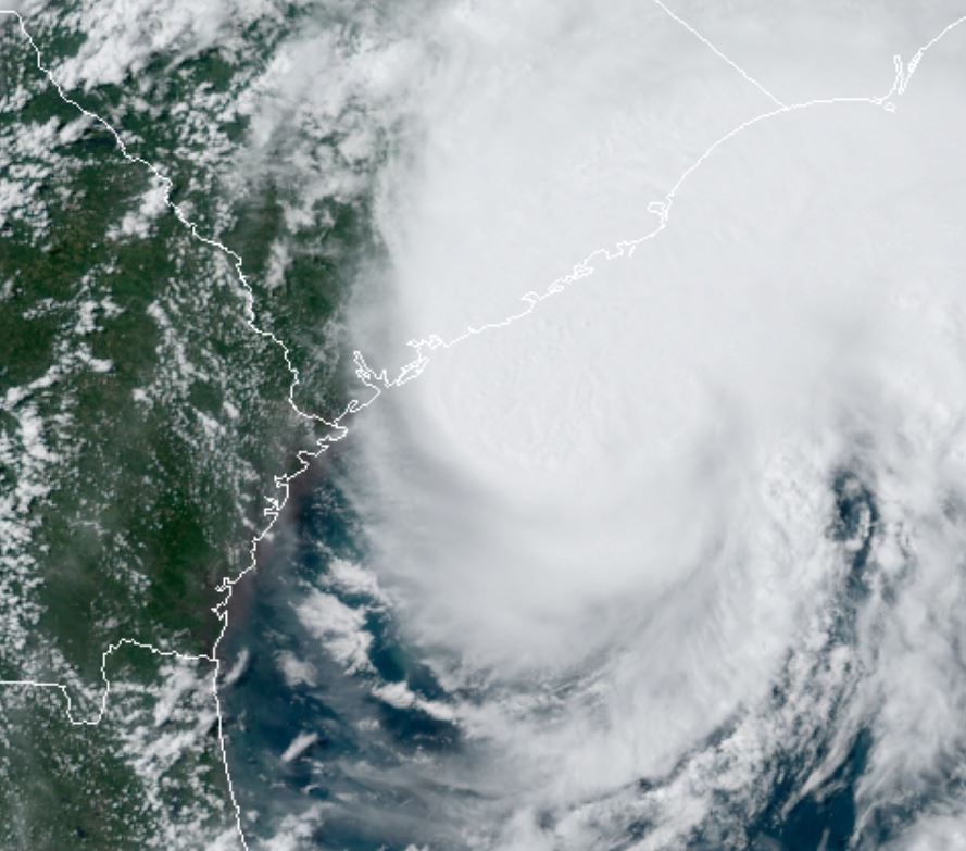
Satellite imagery shows dramatic change from yesterday. Convection is going through another rebuilding phase after becoming disorganized last night. There still appears to be a channel of dry air west of the circulation keeping most of the deep convection near and east of the center.
A recon is currently investigating and has only found strong tropical storm force winds. There is still a lot of area to cover before the system is fully sampled. The center has been located northwest of the southern part of Great Inagua. This confirms that Isasis is sheared with most of the deep convection on the eastern side of the circulation.
Recon has found pressure up a bit at 993 mb.
For more frequent updates: Twitter:
https://twitter.com/richjohnsonwx
Current tropical weather
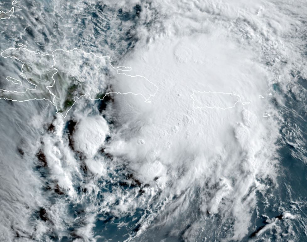
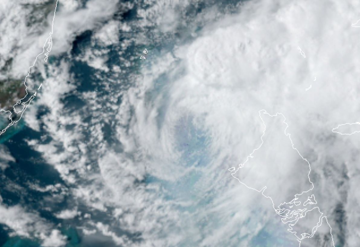
As of 8:00 AM AST Hurricane Isaias was centered at 21.3 N / 73.9 W or about 30 miles NW of Great Inagua Bahamas. It was moving NW at 17 mph. Officially top sustained winds are estimated at 80 mph. Pressure was estimated at 990 hPa (mb).
Tropical Weather Forecast:
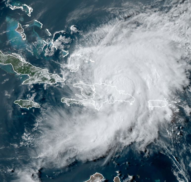
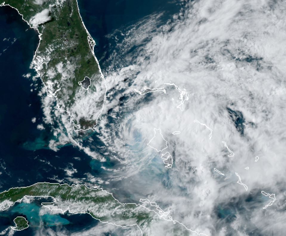
Isaias is forecast toward the western Bahamas then northward, just east of the Florida peninsula. It will then move close the the U.S. coast possibly make landfall over eastern North Carolina and all the way to the Northeast into Tuesday of next week.
Interests in the Bahamas and U. S. east coast should continue to follow the progress of Isaias.
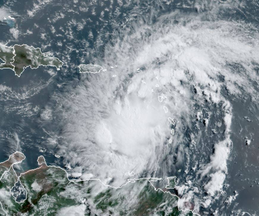
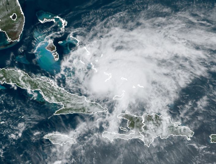
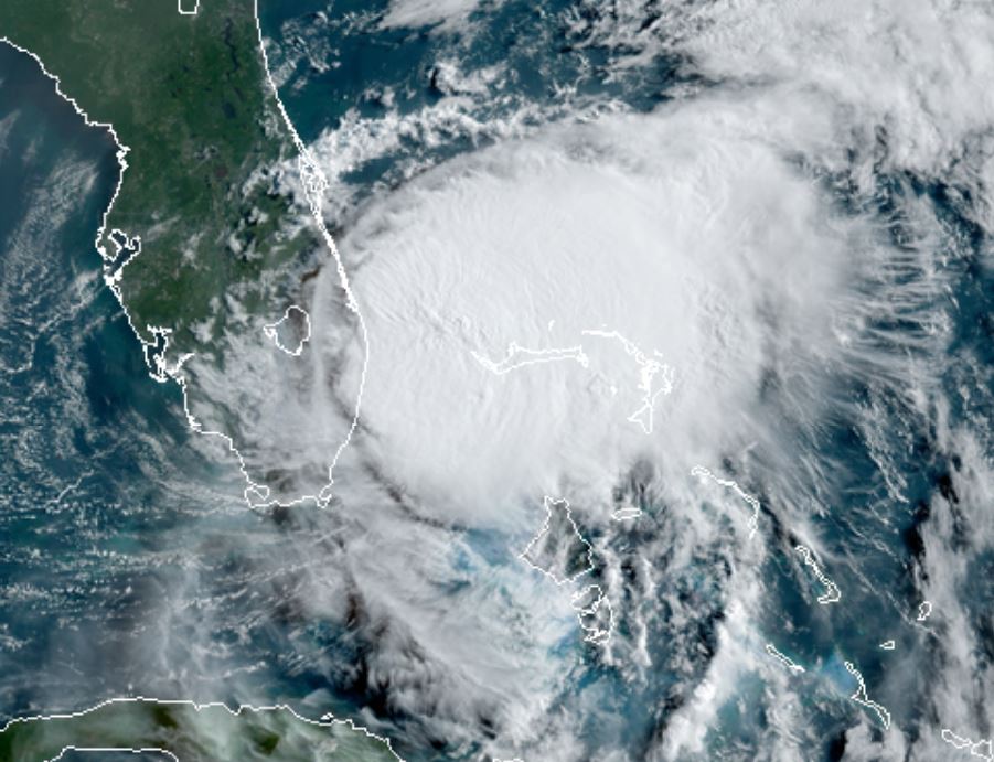
Tropicast: Visible Satellite