TD 3
The Weather Situation
The system which was tropical storm Amanda in the Pacific weakened over land a few days ago and was declared dissipated by the National Hurricane Center. Despite this, at least at mid level, if not the low level circulation could be tracked. IMO, if (when) this tropical cyclone is upgraded to a tropical storm it will be named Christobal instead of keeping its name from the Pacific.
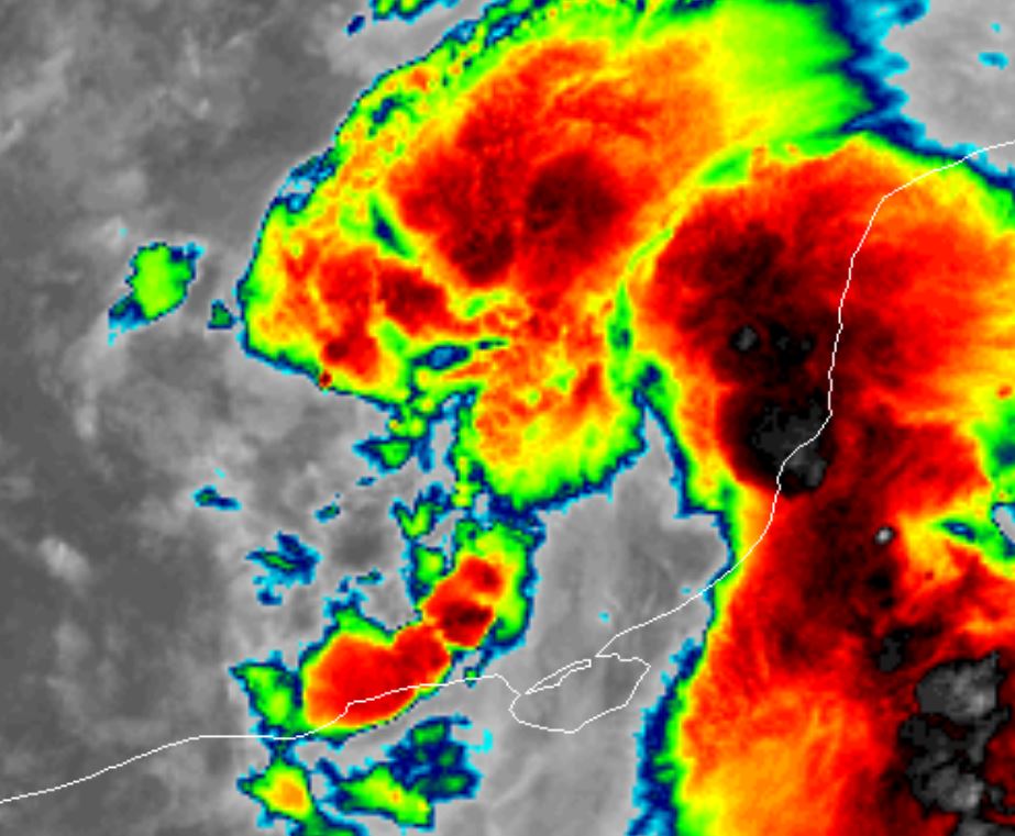
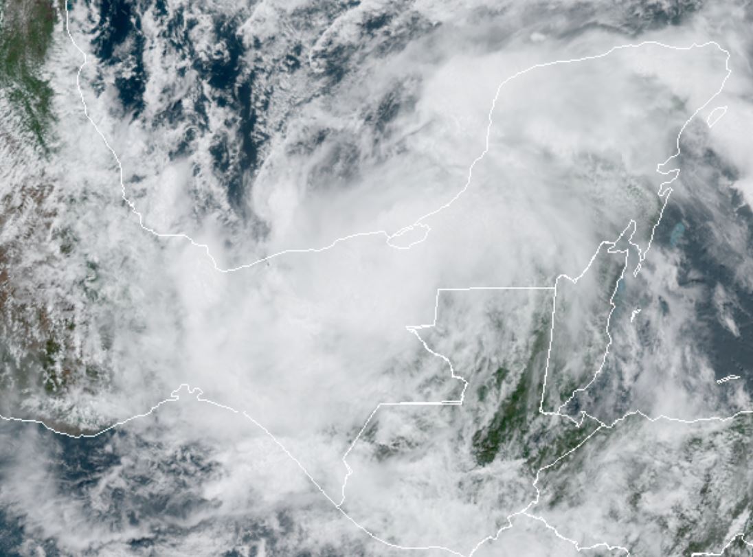
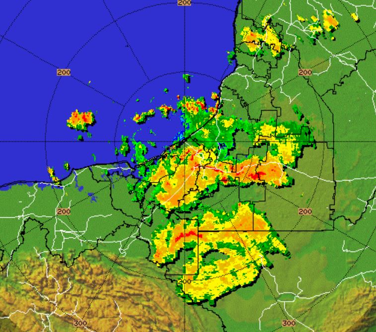
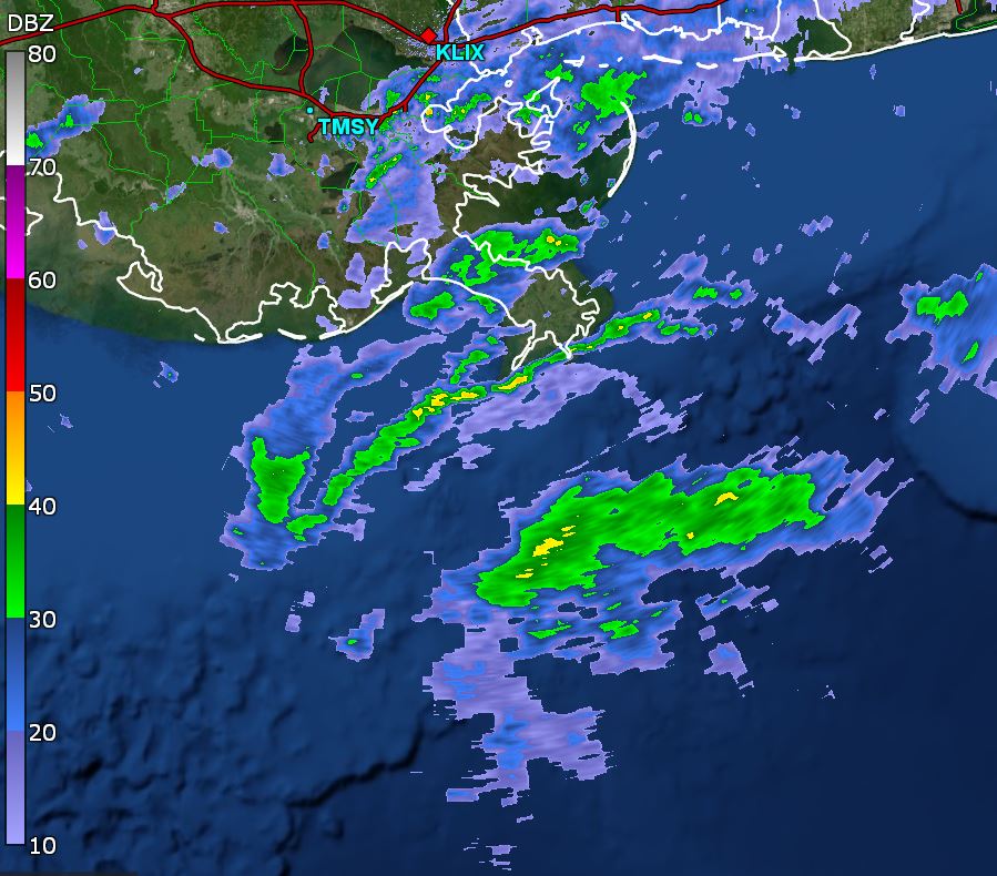
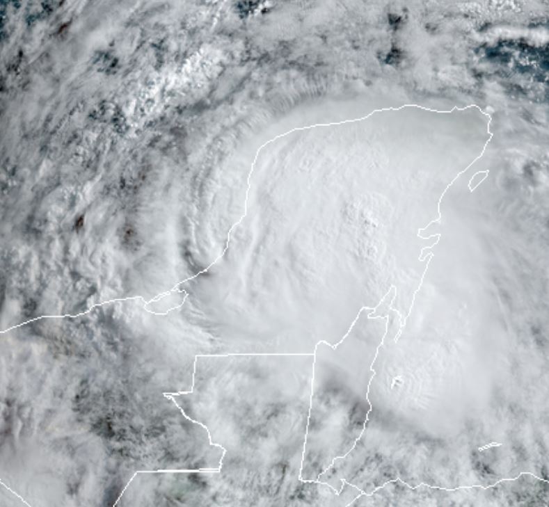
The main hazards at this time are heavy, flooding rains over southern Mexico. Current satellite imagery shows very heavy convection over the Yucatan.
For more frequent updates: Twitter: https://twitter.com/richjohnsonwx
Current tropical weather
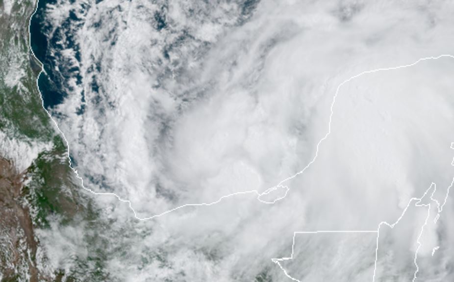
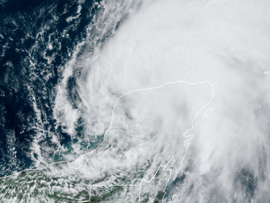
As of 7:00 AM CDT TD3 was centered at 19.6 N / 92.2 W or 125 miles west of Campeche, Mexico. It was moving west at 3 mph. Top sustained winds are estimated at 35 mph. Pressure was estimated at 1003 hPa (mb).
Tropical Weather Forecast:
TD 3 will likely become a tropical storm then weaken over the Yucatan. Either this system or another will reform north of the Yucatan later this week. Interests on the Gulf coast should follow this situation.
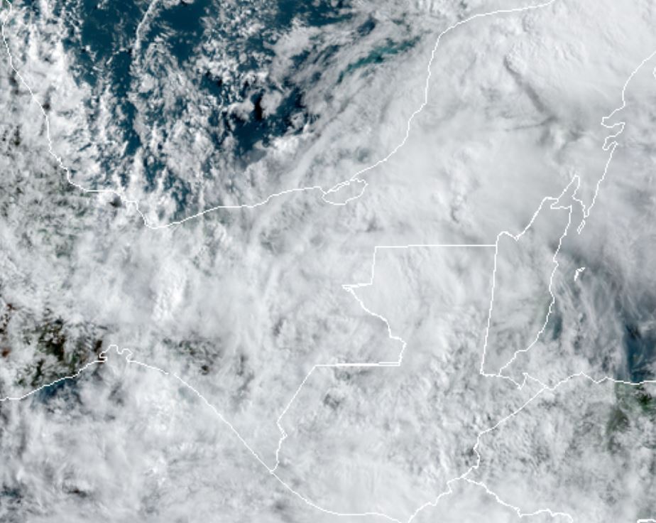
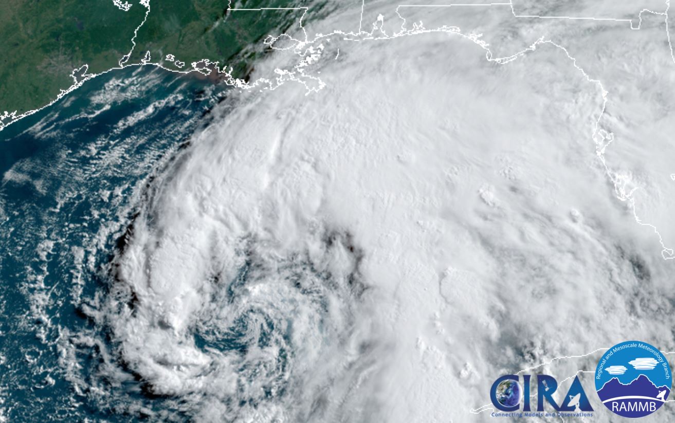
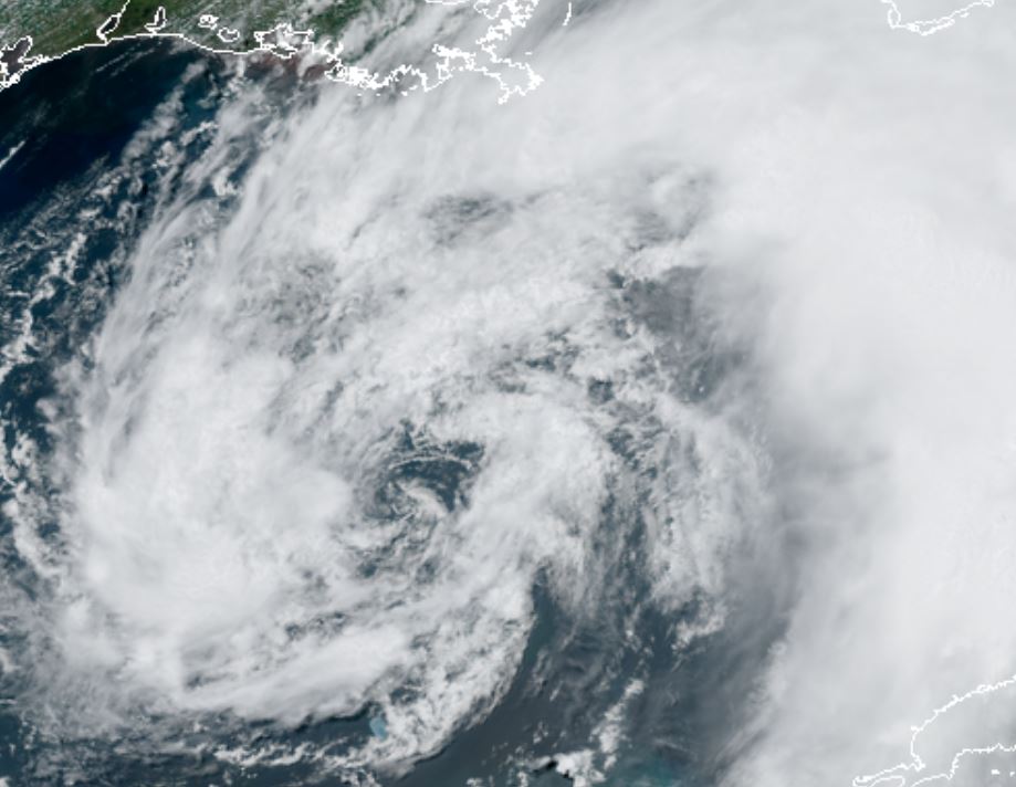
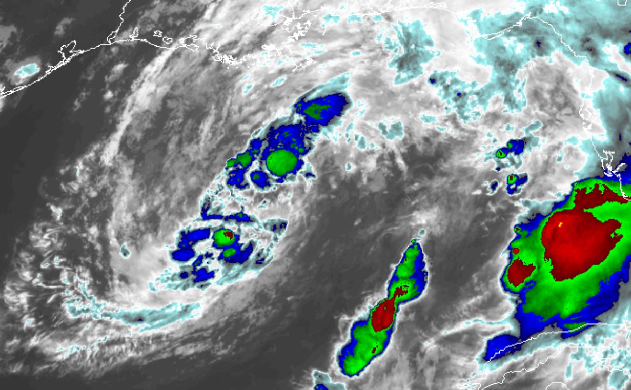
Tropicast: Visible Satellite Monday
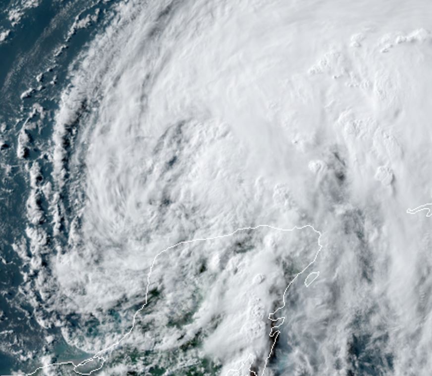
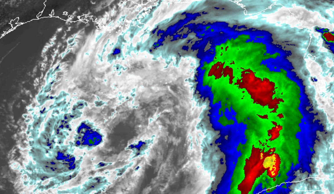
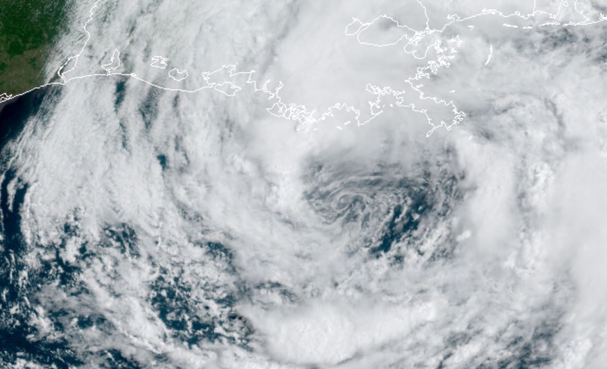
Tropicast: IR Satellite Tuesday Morning