Monday Evening Update
Dorian has stalled again
The Weather Situation
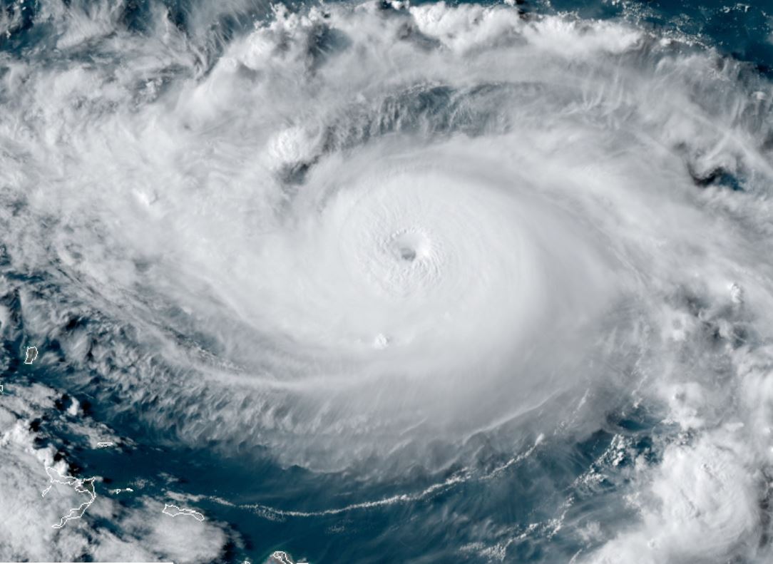
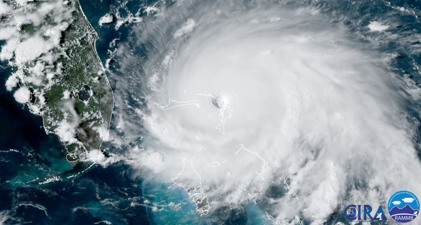
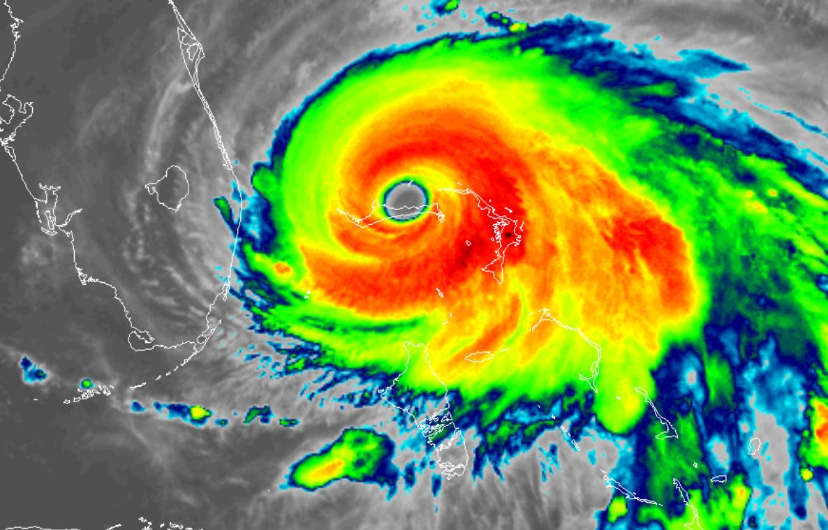
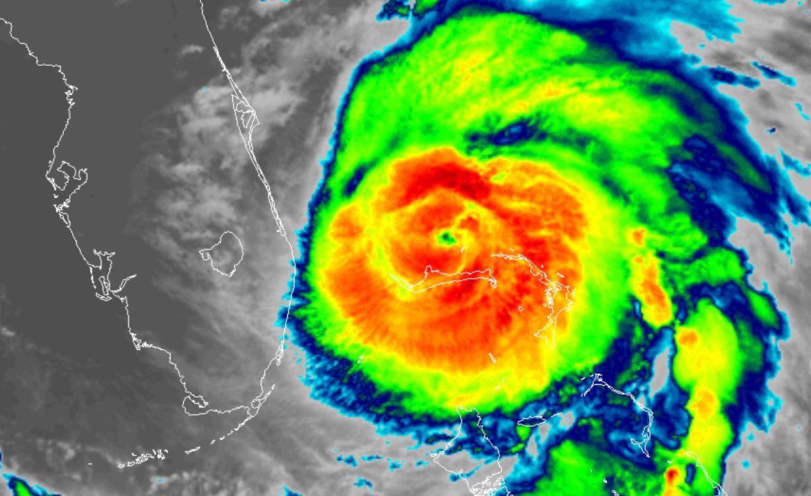
After briefly stalling this morning, Dorian started a very slow WNW turn. It has now stalled again. Pressure has risen considerably today indicating weakening. The big problem is that Dorian is still a very dangerous cat 4 hurricane which continues to pound Grand Bahama Island. Conditions will not improve until Dorian resumes a northward motion - which still may be several hours away. This is the worst hurricane on record experienced in the northern Bahamas.
Twitter updates here:
https://twitter.com/richjohnsonwx
Current Tropical Weather
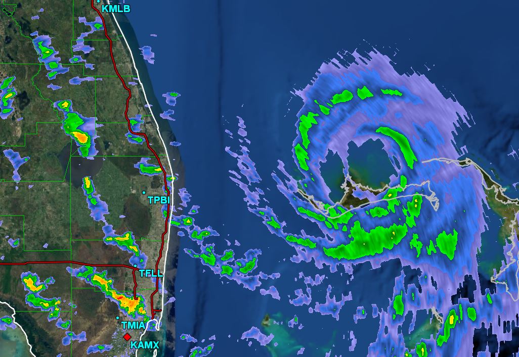
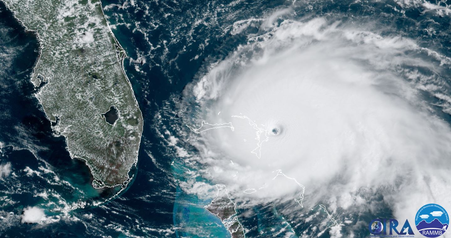
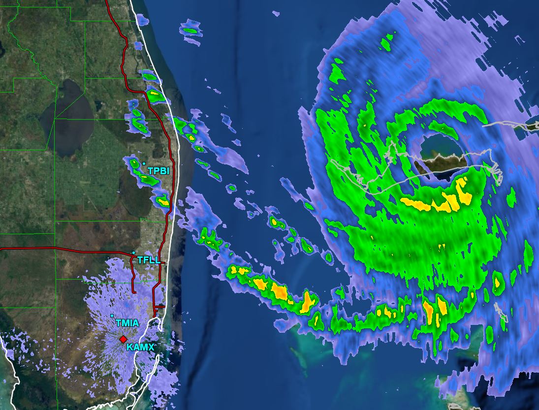
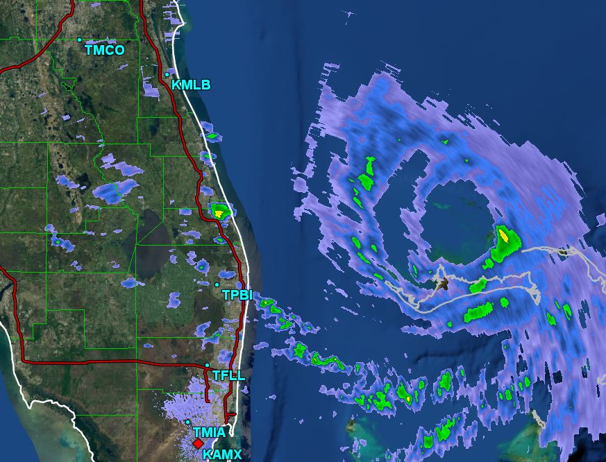
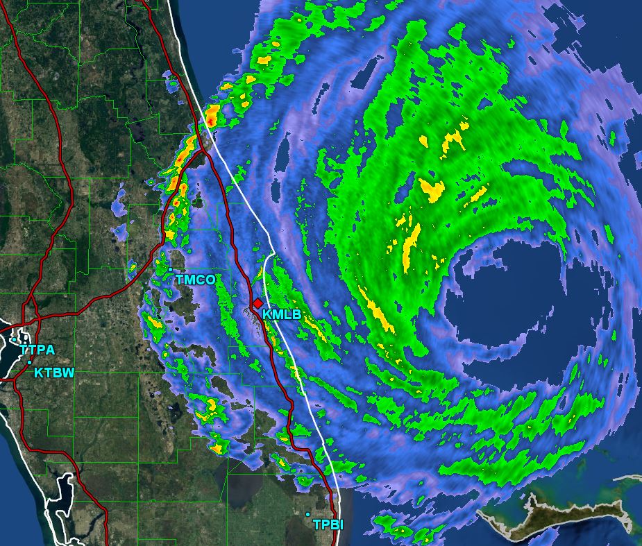
As of 5:00 PM EDT Dorian was centered at 26.8 N / 78.4 W or 25 miles NE of Freeport, Grand Bahama Island / 105 miles east of West Palm Beach, FL. Stationary. Top sustained winds are estimated at 145 mph. Pressure was estimated at 940 MB.
Tropical Weather Forecast:
No significant changes to the forecast track -
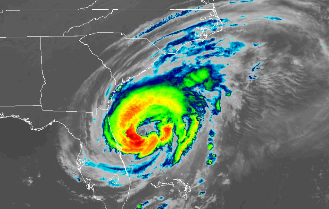
Forecast models again keep Dorian east of the Florida, Georgia and South Carolina coasts. It will be very close to the North Carolina coast by Thursday and Thursday night. It will come close enough that heavy rain, high water and winds possibly over hurricane force could affect the coast from Florida northward to eastern North Carolina. Stay vigilant of any additional changes. Any slight change to the west could bring significantly worse conditions inland.
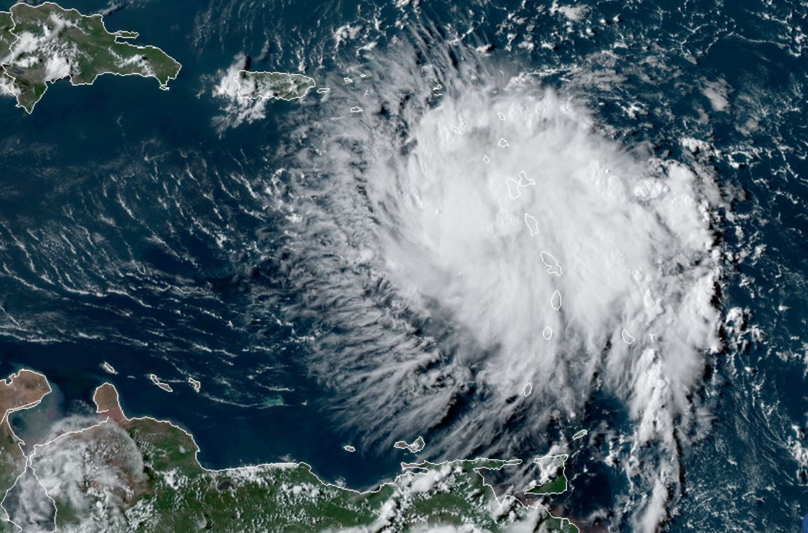
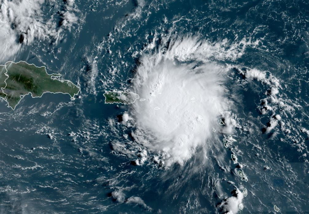
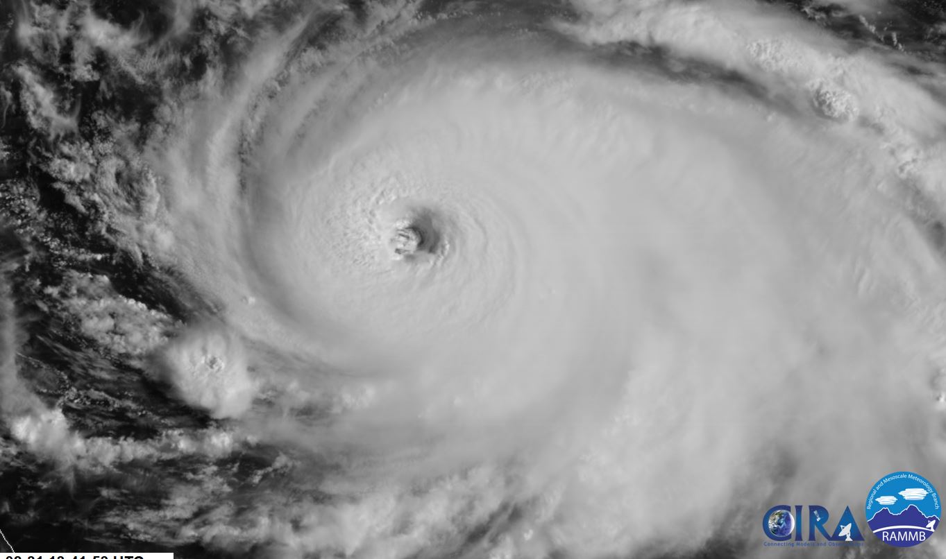
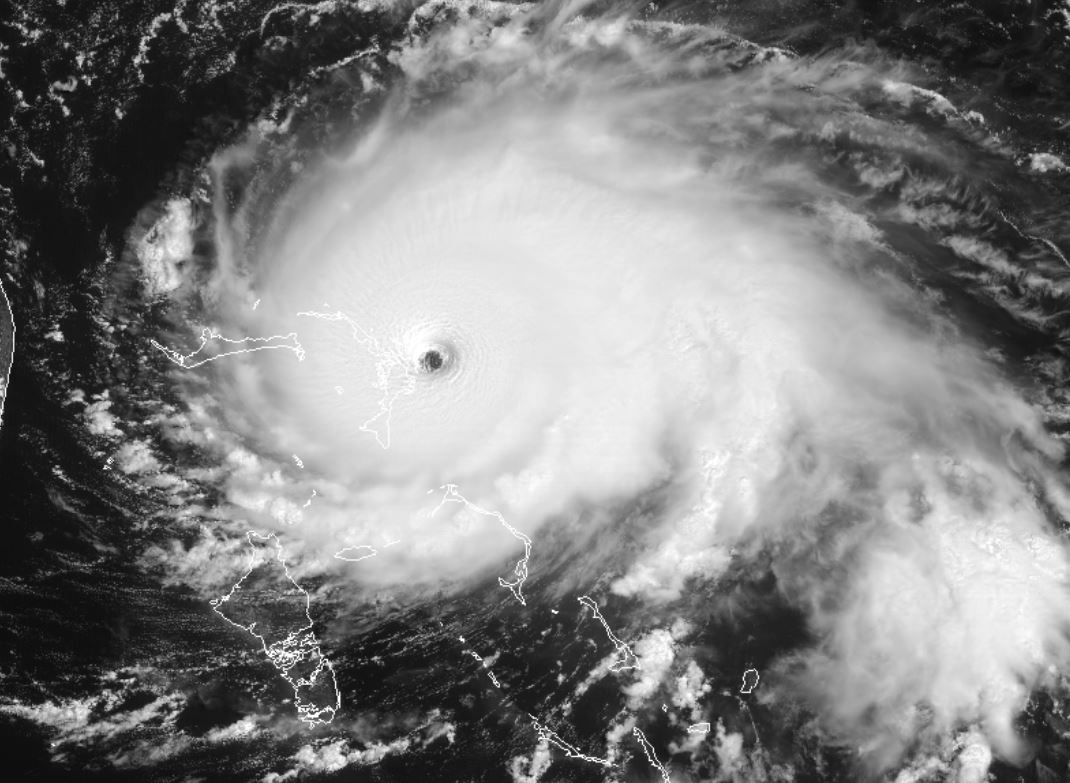
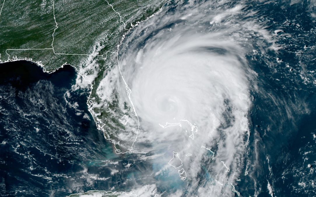
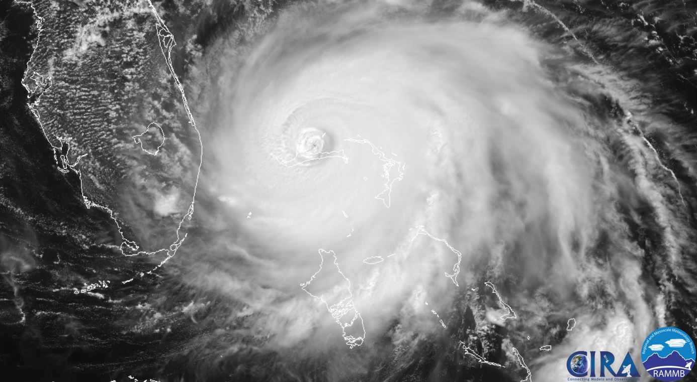
Tropicast: Visible Satellite Monday Afternoon
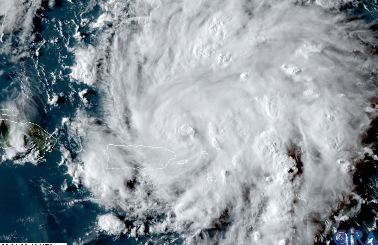
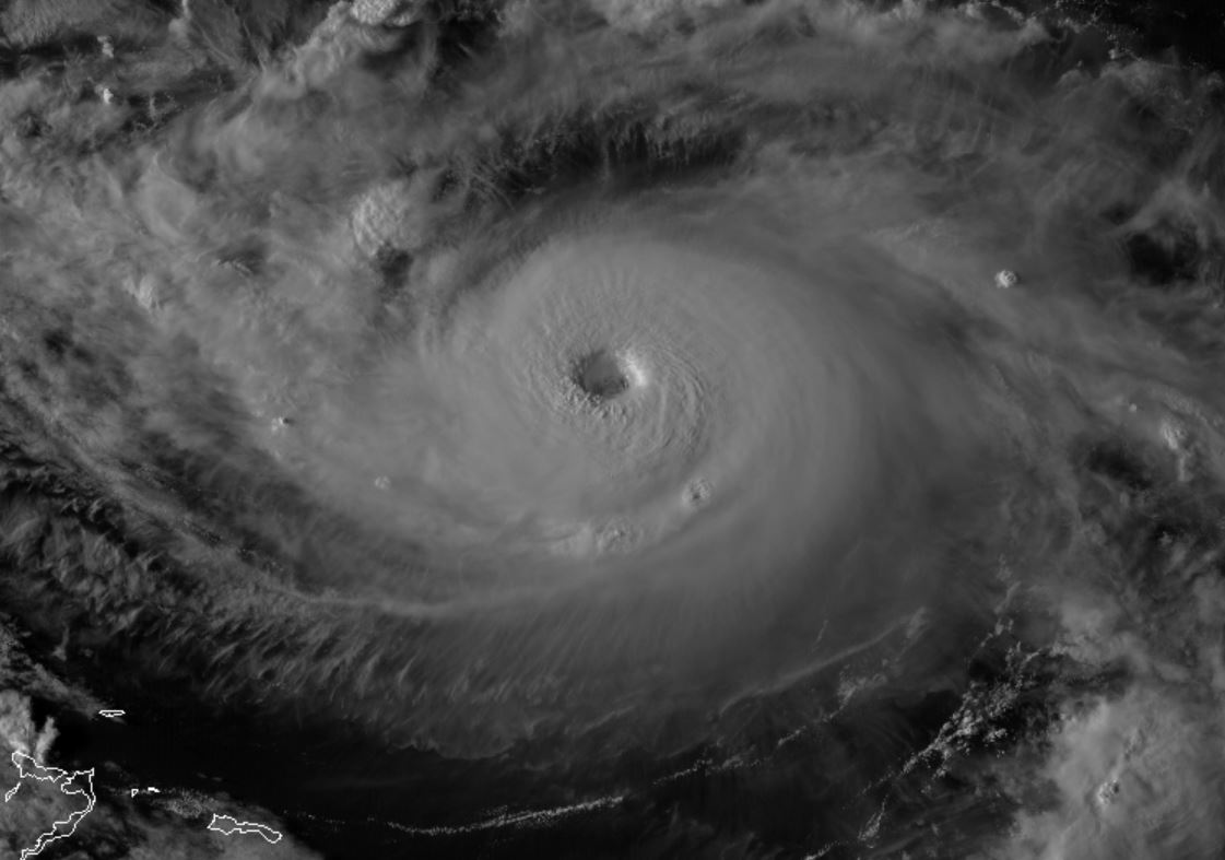
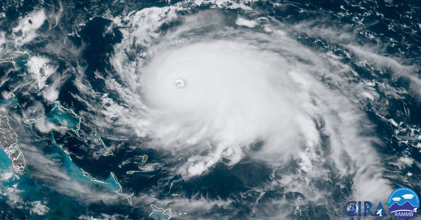
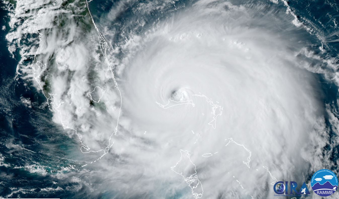
 Tropicast: Visible Satellite Monday Evening
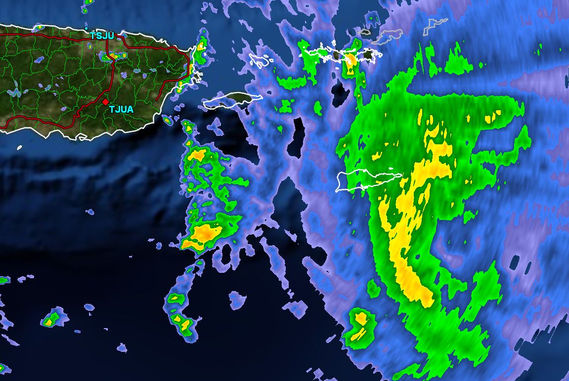
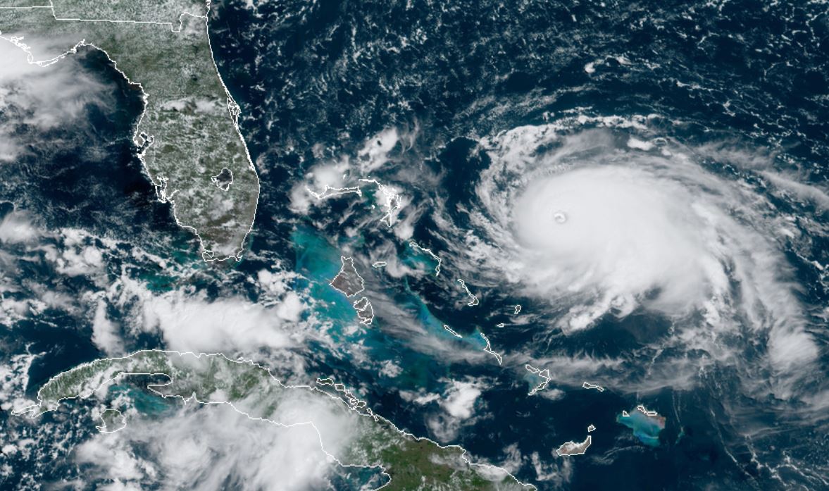
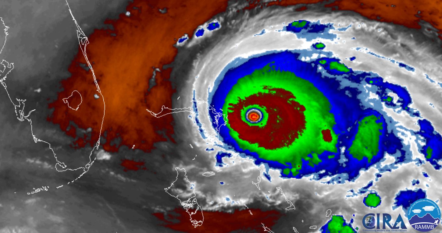
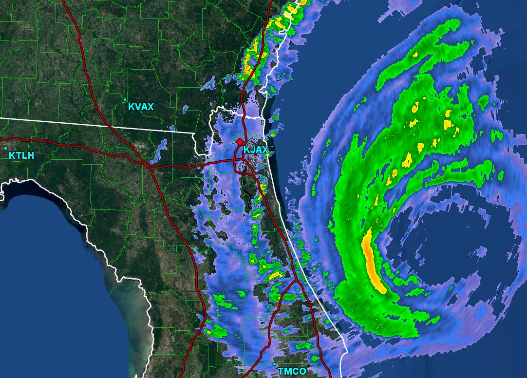
 Tropicast: Radar Monday Evening 5:18 PM EDT