Katia now a storm
The Weather Situation
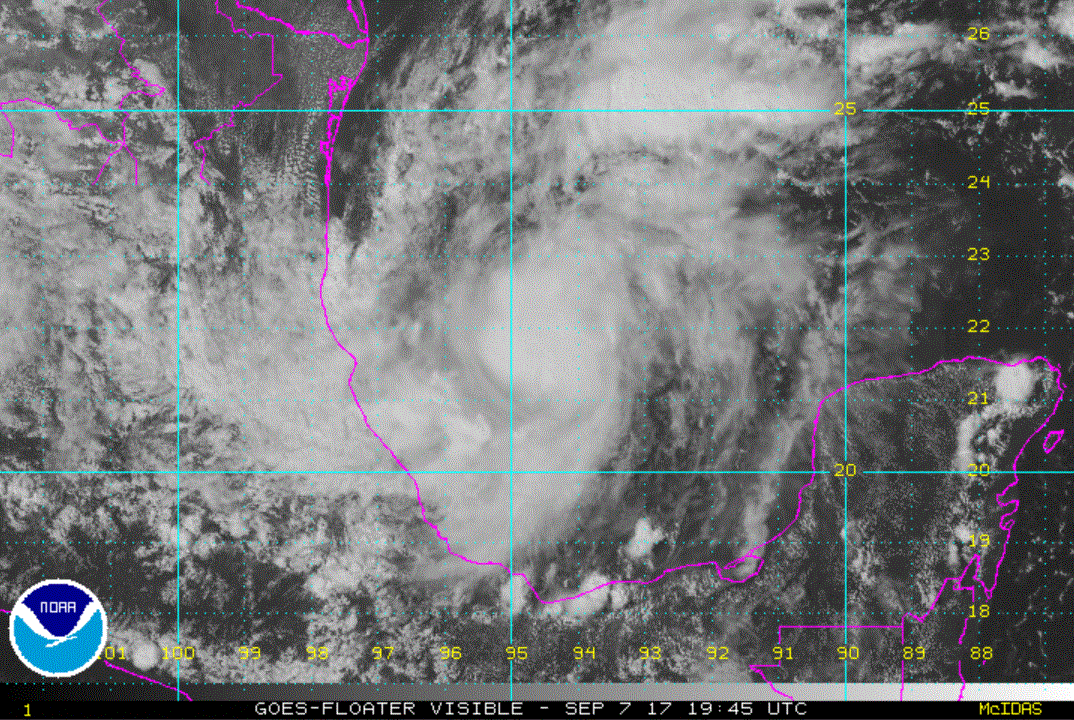
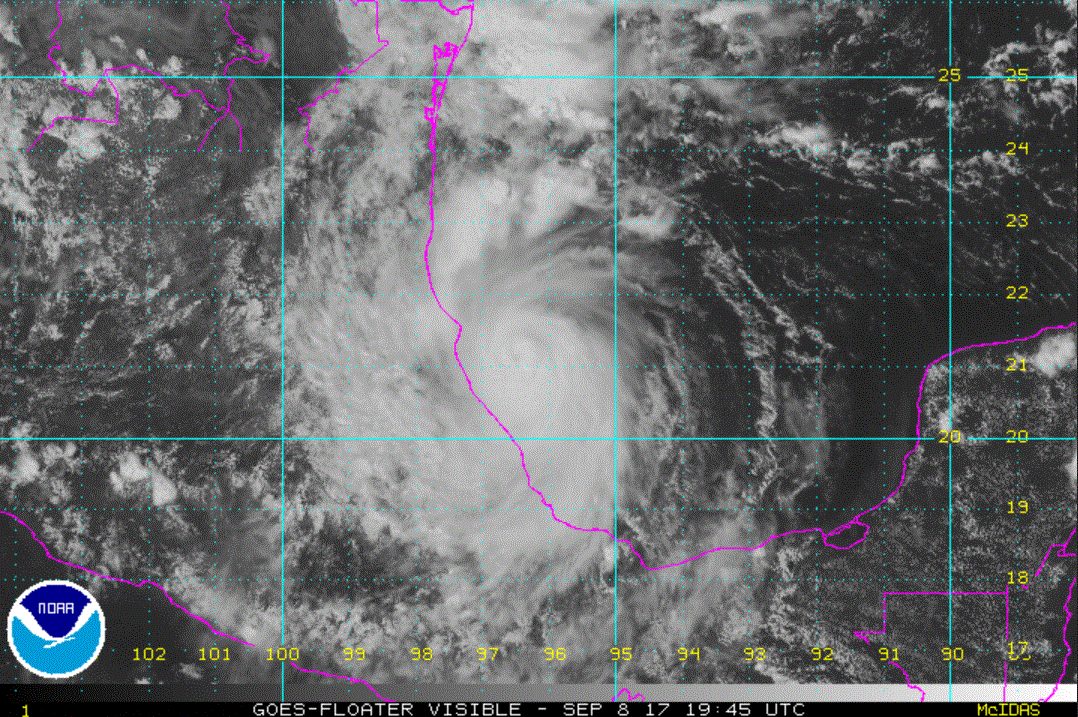
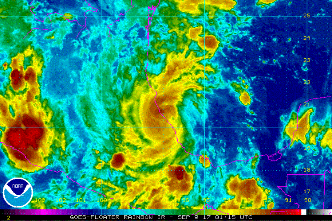
Satellite imagery shows that deep convection has increased with a burst not far from the Mexican coast. Westerly wind shear is apparent on the water vapor imagery. This shear is weak enough so that Katia will likely continue to strengthen some.
Heavy rainfall will become a concern as well as surge and strong winds as it approaches the coast.
Current Tropical Weather
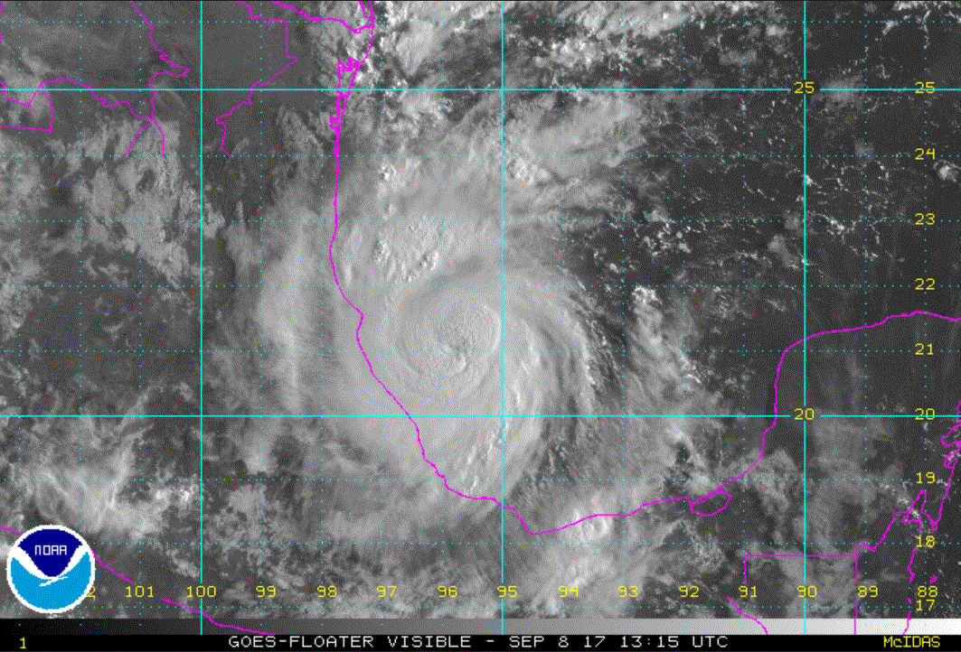
As of 4:00 AM CDT Katia was centered at 22.1 N / 96.3 W or 105 miles east of Tampico, Mexico. It was moving ESE at 2 mph. Top sustained winds are estimated at 40 mph. Pressure was estimated at 1006 MB.
Tropical Weather Forecast:
Katia is in fairly weak steering currents. It should move toward the Mexican coast as a mid level ridge builds to the north.
Tropicast: IR Satellite