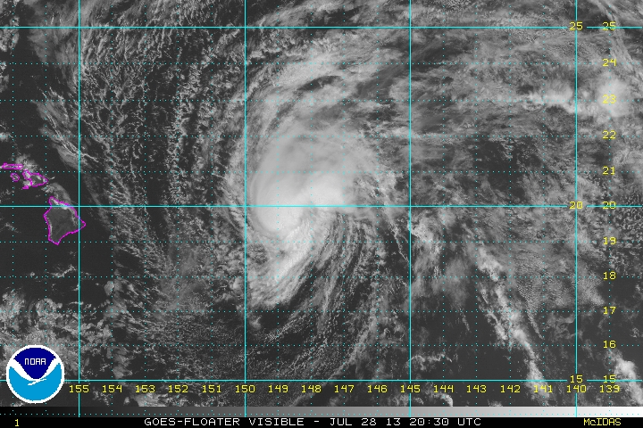
Flossie east of Hawaii
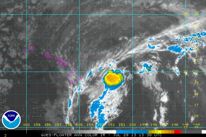
Flossie continues westward toward the Big Island of Hawaii. The effects of rain and wind will pick up late tonight into Monday. It is very difficult for a tropical storm to affect Hawaii approaching from the east. Satellite imagery shows dry air to the southeast of the circulation. Deep convection is also limited to near and to the north and west of the circulation. I personally don't believe that sustained winds are at 60 mph. A 60 mph tropical storm should have gusts to near 70-75 mph which seems a stretch. There very high terrain will likely see tropical storm winds Monday with heavy rainfall. The resort areas on the coast will see some winds gusting to tropical storm strength (40 mph).
As of 11 am hst Flossie was centered near 19.9 N / 148.5 W or about 430 miles east of Hilo, Hawaii. Movement is west at 20 mph. Top sustained winds are estimated at 50 mph (NHC 60 mph / 11am hst or 5 pm edt advisory). Pressure is estimated at 999 mb.
Forecast:
Flossie will cross the Big Island of Hawaii Monday and pass just south of Maui a little later in the day. It should stay about 100 miles south of Oahu. The biggest concern will be very heavy rainfall of 10+ inches on the windward slopes. High surf may also bring water over coastal roads on the Big Island and Maui.
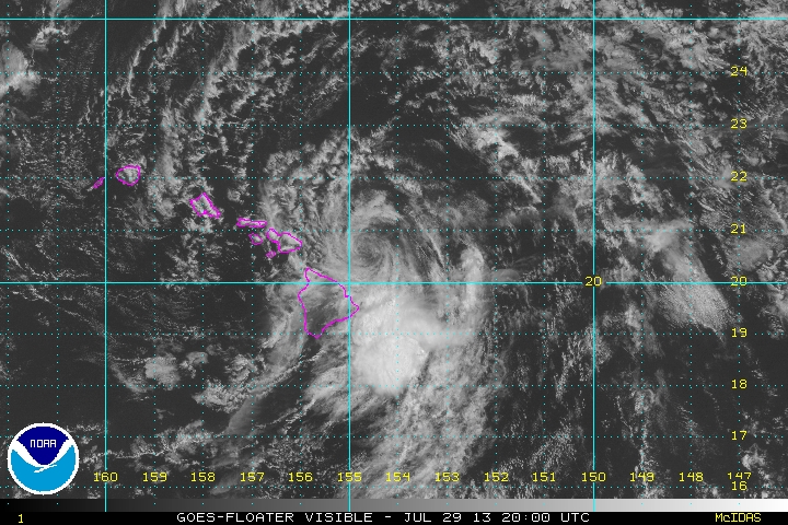
Tropicast: Pacific Visible Satellite