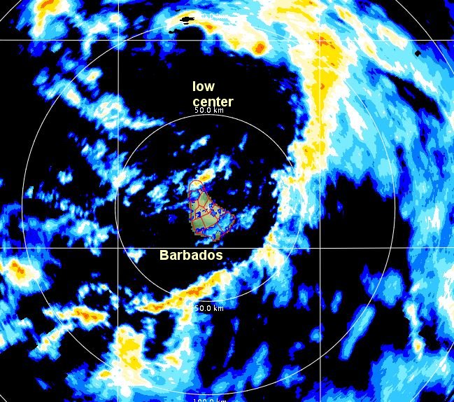
Chantal forms west of the Windwards
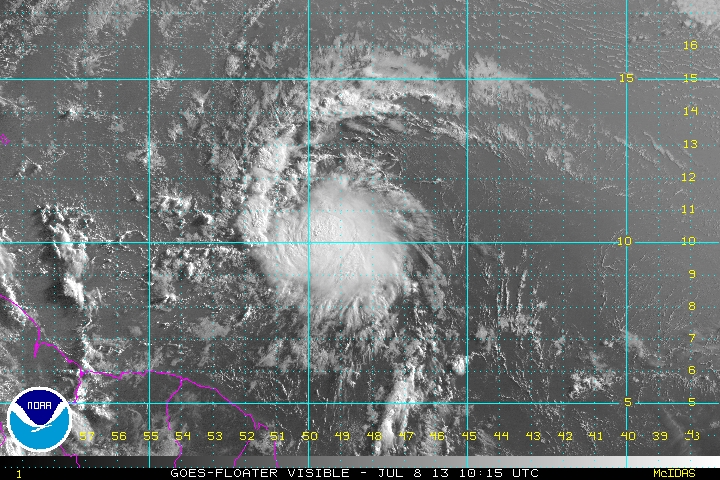
Visible satellite imagery shows that Chantal is moving quickly westward and has organized into a tropical storm overnight. Fast moving tropical cyclones in the deep tropics have difficultly in strengthening. Chantal will be affecting the Lesser Antilles by late tonight. The main concern will be for heavy rainfall of 2-5" as Chantal passes. Some winds may be over 50 mph which could cause spotty power outages.
As of 5 am ast (edt) Chantal was centered at 10.4 N / 49.5 W or about 705 ese of Barbados. It was moving west at 26 mph. Top sustained winds estimated at 40 mph (40 mph NHC advisory). Pressure was estimated at 1007 mb.
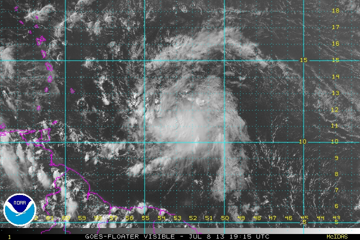
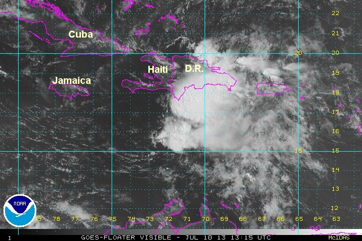
Forecast models take Chantal toward the northern Caribbean. It should be in the vicinity of the Lesser Antilles by late tonight into early Tuesday. Chantal is expected to move near Hispaniola by Wednesday. If this happens, the circulation will be greatly disrupted. By Thursday, moisture from Chantal will be near south Florida and the Bahamas.
Chantal is moving very quickly westward. Models do not strengthen Chantal to hurricane strength at this time. Fast moving systems in the deep tropics have difficulty in strengthening. This should be monitored closely!
Tropicast: Visible Floater Satellite