Thursday Night Update
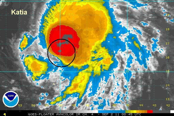
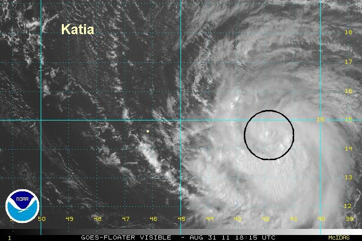
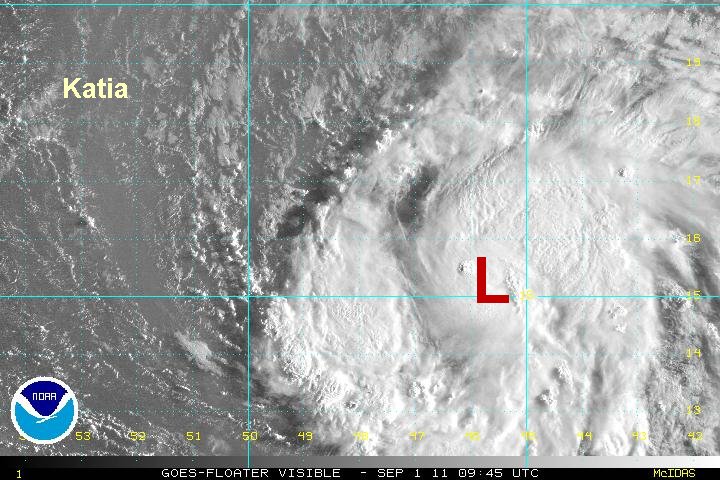
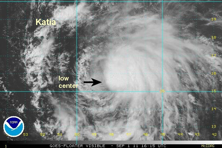
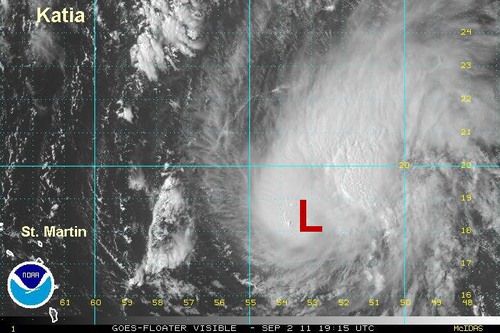
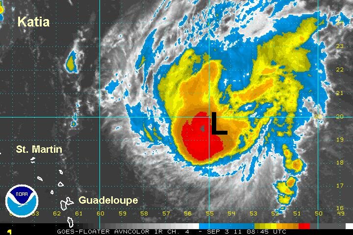
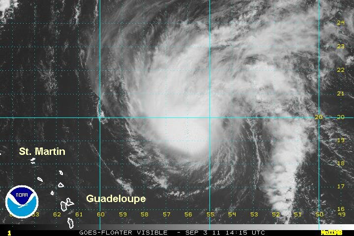
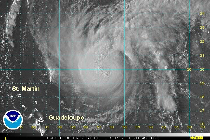
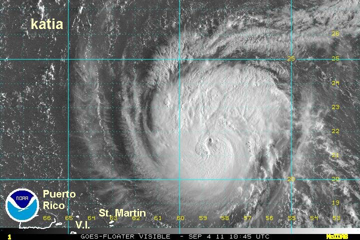
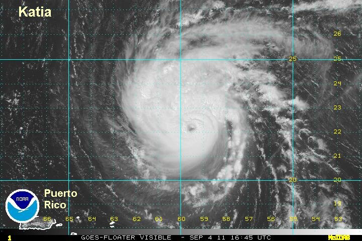
Deep burst of convection over Katia
It looks like Katia is a hurricane again, despite still fighting southwesterly wind shear. The main story is a very disconcerting change in the forecast models. The details are below.
Depending on how large Katia eventually becomes, some rainbands may affect the Leewards later Saturday into Sunday. Swell will increase in the Lesser Antilles over the next few days with east and north facing beaches getting the higher swell.
At 9 pm edt / ast Katia was centered at 16.4 N / 49.7 W or about 870 miles ese of the northeastern Leewards. Top sustained surface winds 75 mph (NHC 70 mph last advisory). Movement west at 18 mph. Pressure estimated at 990 mb.

Keep in mind that my distance calculation is a little different from NHC's because of measuring from a different point in the Leewards.
Forecast:
Long range forecasts are starting to split. The upper air trough expected to turn Katia northward several days from now is not as strong on some models. Overall the general trend is farther west. One forecast now takes Katia west of Bermuda and turns it a several hundred miles east of the U.S. coast. Another model has Katia missing the upper trough. This is a very bad scenario if this forecast were to verify. In this case katia would continue west... toward the U.S. coast.

Interests in the Leewards, the Bahamas, U.S. east coast and Bermuda should keep an eye on Katia's track. Remember that long range forecasts can have large errors.
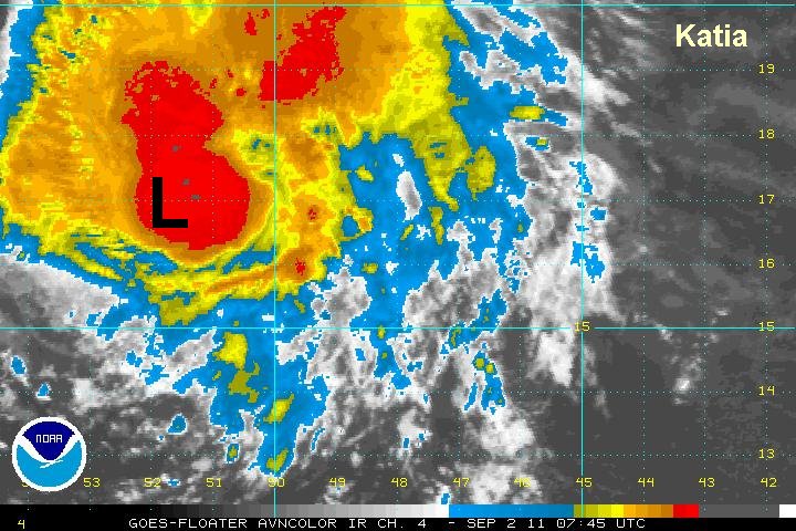
Tropicast: IR Satellite