Saturday Evening Update
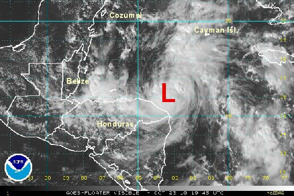
Richard moving just north of Honduras
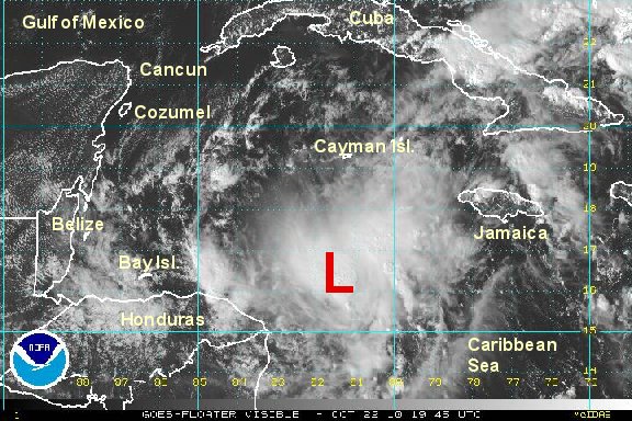
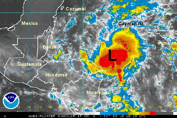
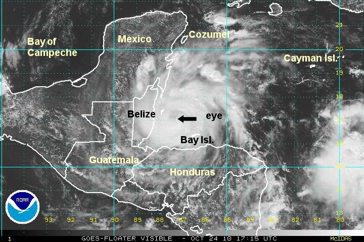
Richard has only strengthened slightly today. The hurricane center upped the winds early today when the recon found a strong flight level wind. Convection is not as impressive as it was earlier and we think the surface wind was more indicative of the 53 knot wind estimated by the recon this morning. So, the overall picture is that we think Richard is a little weaker than the offical estimate. 65 miles per hour also seems too high for a pressure as high as 1000 mb. Most of the rain remains offshore at this time.
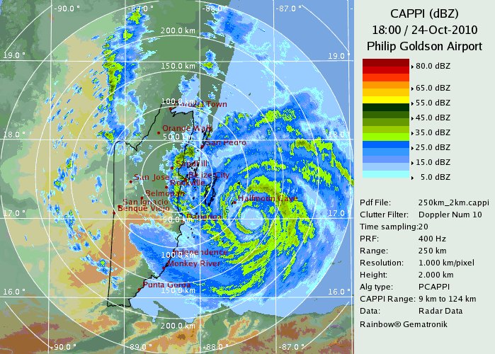
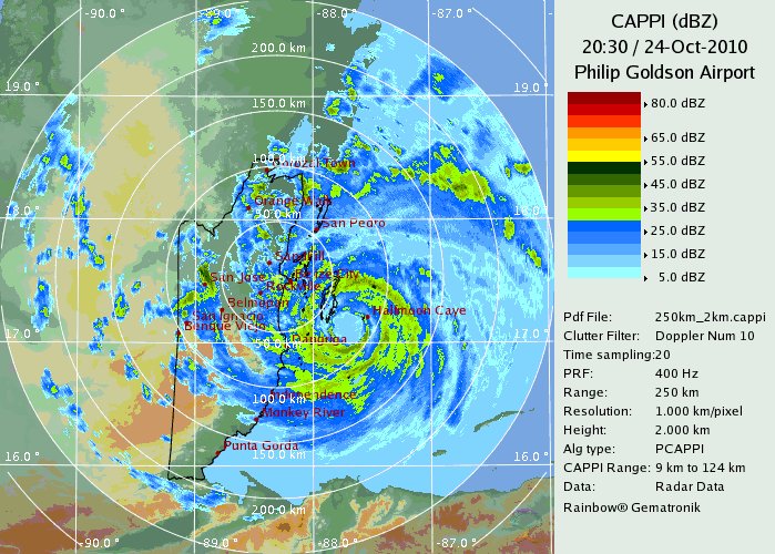
Rain and wind will pick up on the Bay Islands and northern Honduras into this evening with some of the rain now reaching the northeast corner of Honduras. Locally heavy rain is likely with the potential of flash flooding.
As of 5 pm edt tropical storm Richard was centered near 16.1° N / 84.2° W or 175 miles east of La Ceiba, Honduras. Top sustained winds are estimated at 55 mph (nhc 5 pm advisory - 65 mph). Movement west 8 mph. Pressure estimated at 1000 mb.

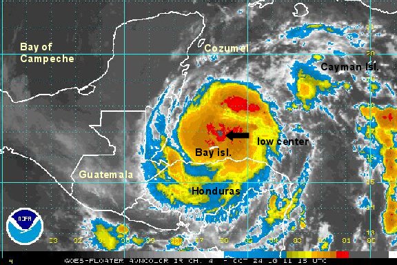
Richard will move more west northwest later tomorrow taking it toward the coast of Belize where it should make landfall by Sunday. Richard will weaken over the southern Yucatan peninsula Monday.

Interests in Honduras, Belize, and the southern Mexico Yucatan should follow the progress of Richard and complete storm preparedness as necessary.
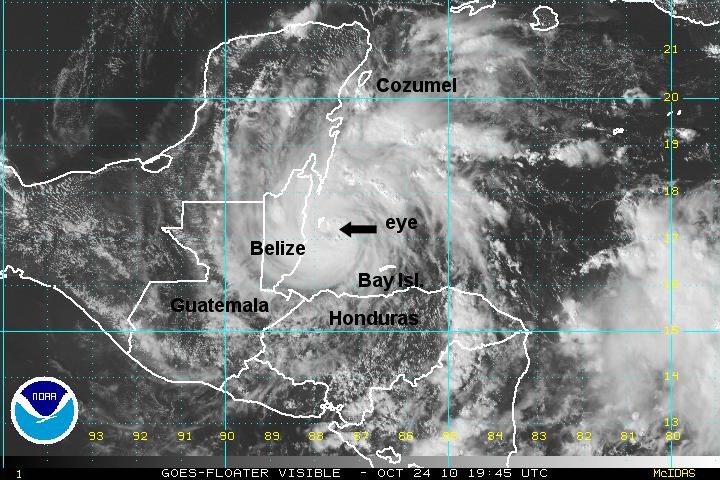
Tropicast: Visible Floater Satellite