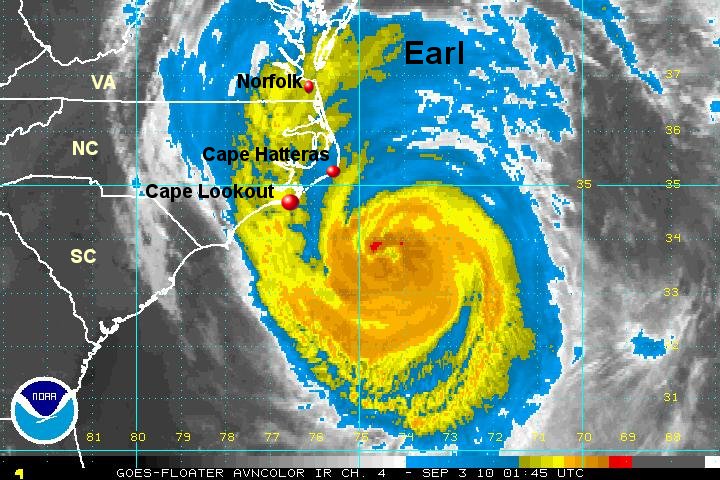
Earl cat 2, still weakening
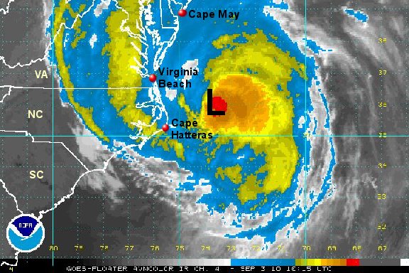
Satellite cloud tops have warmed. Dry air is getting entrained into the circulation. Hurricane hunter recon reports pressure up at 10 pm. These are all factors telling us that Earl is still weakening. It appears to be heading in a direction that will take the eye of the hurricane at least 75 miles east of Cape Hatteras. Cape Hatteras just reported a wind gust to 49 mph. That's the strongest we've seen so far. Heavy rain covers the Outer Banks and Pamlico sound.
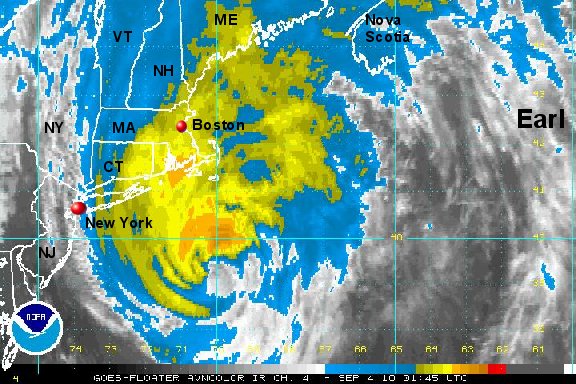
As of 10 pm edt / ast hurricane Earl was centered near 33.6° N / 74.5° W or about 100 miles south southeast of Cape Hatteras, North Carolina / 580 miles south southwest of Nantucket, Massachusettes. Top sustained winds are estimated at 100 mph (110 mph nhc at 8 pm advisory). Movement is north northeast at 18 mph. Pressure 951 mb.
On the Outer Banks winds will be at their strongest into Friday morning. Tropical storm force winds are will occur inland 50-100 miles with gusts to hurricane force winds likely on the Outer Banks and possibly farther north. Pay close attention to the positioning of the hurricane warnings and local emergency advisories!
Forecasts
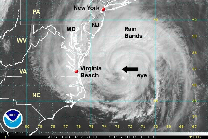
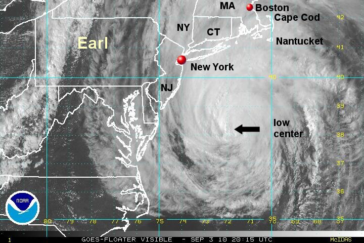
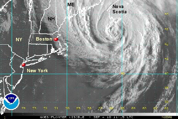
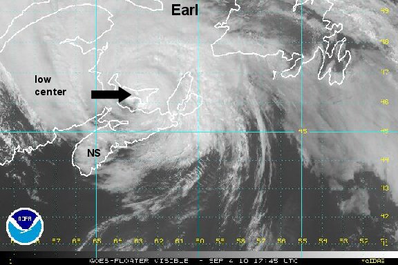
Earl will be moving roughly 75 miles east of Cape Hatteras over the next several hours. After this models take it about 100-150 miles east of Long Island by Friday evening...... to 50-100 miles east of Cape Cod midnight Friday night. Earl is expected to make landfall in southern Nova Scotia, Canada Saturday morning. A small shift of 25--50 miles can make a huge difference in the impacts received on the coast.
Tropicast: I.R. Floater Satellite