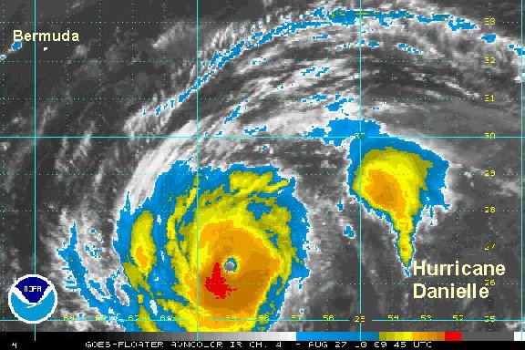
Friday Morning Update
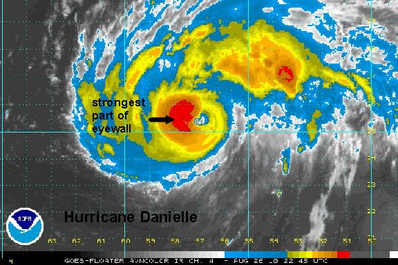
Danielle makes jump to cat 4 hurricane
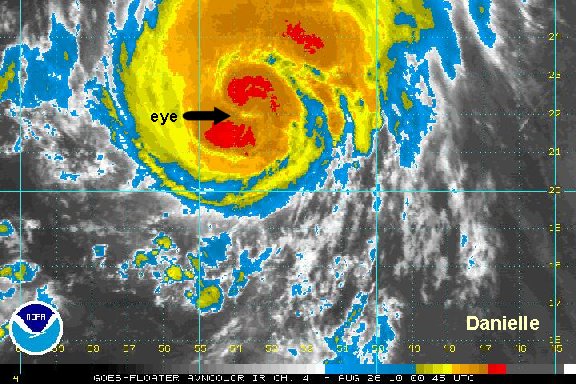
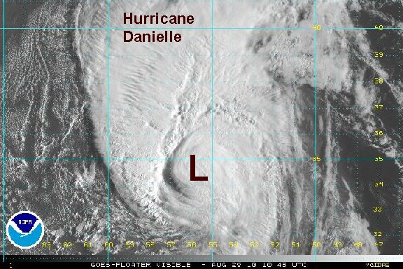
Danielle's eyewall has solidified with cold cloud tops surrounding it. The motion is still northwest with a farther west wobble last hour. This is not unusual at all to see a wobble like this as many strong hurricanes display this feature. We and the hurricane center at still nearly on the same page with strength. It is possible that the strength is up to 140 mph now as the eyewall is growing. We think 135 mph is reasonable. An air force recon hurricane hunter will visit today, telling us exactly what is going on.
At the current time well to the west of Danielle seas are at 10-12 feet......40 feet near the eyewall.
At 7 am edt / ast hurricane Danielle was centered near 26.5° N / 59.2° W or about 515 miles southeast of Bermuda. Top sustained winds are estimated at 135 mph (NHC 135 mph - 5 am edt advisory). Movement is northwest at 12 mph. Estimated pressure at 946 mb by nhc.

Most models take Danielle east of Bermuda by about 100 miles late this weekend. After that, north to the north Atlantic - east of Nova Scotia, and eventually northeast.

All interests in Bermuda: Danielle will be at its closest late Saturday into Sunday. Bermuda is a small island and a direct hit from the eye is does not appear likely. Forecast models consistently have been showing Danielle turning north a day before Bermuda allowing it to move to the east. Danielle has a good chance of being a strong hurricane as it passes by allowing for significant swell to be generated. There is a good chance for tropical storm force winds (39-73 mph) late Saturday into Sunday as Danielle passes. Rain or rain squalls are also possible during this time, but that will be dependent on the exact size of Danielle at that point.
Wave forecast models have slightly higher seas with a 10-20 foot swell predicted near or west of Bermuda Saturday into Sunday. A 20-40+ foot swell is now predicted east of Bermuda where the hurricane is expected to pass over. Keep in mind that swell high predictions can change depending on the track and actual strength of the hurricane.
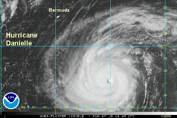
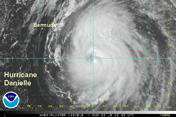
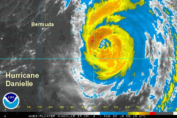
Tropicast: I.R. Floater Satellite