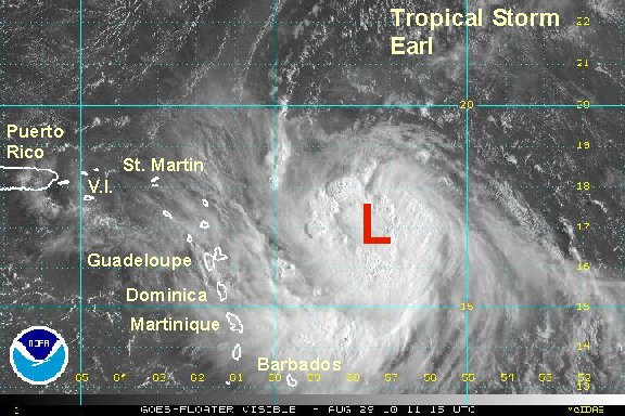
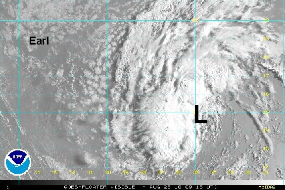
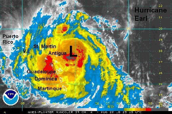
Sunday Morning Update
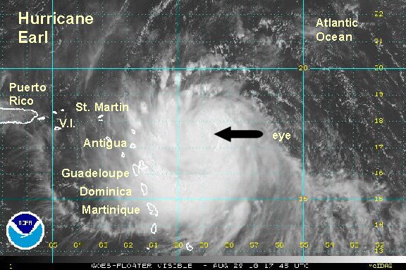
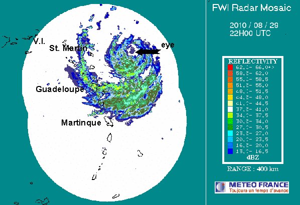
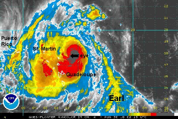
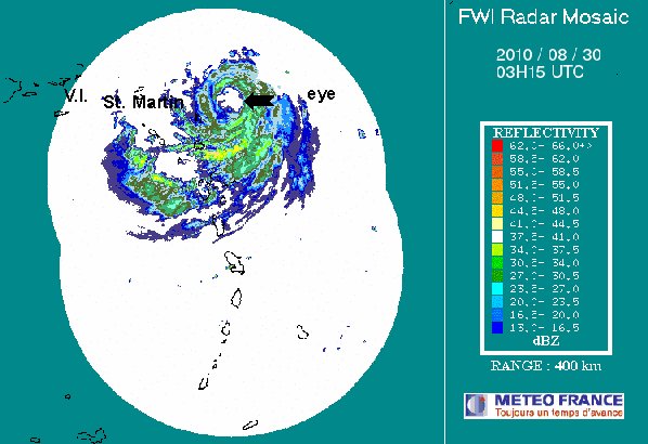
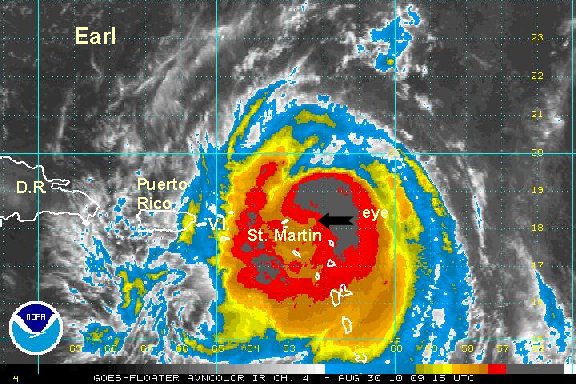
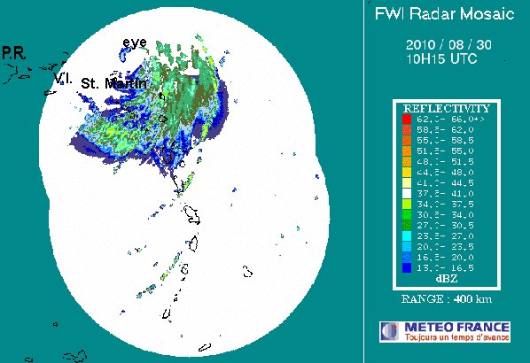
Earl moving toward the Leewards
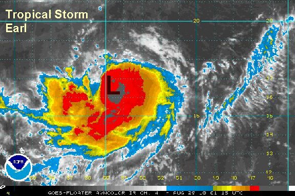
Earl is still not quite a hurricane thankfully. It has a large cirulation and the effects of Earl will be spreading throughout the Leewards and south into the northern Windwards during the day today. Seas are in the 5-6 foot range near the Leewards, but 15-20 feet near the center of Earl. We are still expecting Earl to become a hurricane as it moves through the Leewards tonight into Monday.
Several inches of rain with locally 5-10" are possible in the Leewards as Earl passes. Winds are expected to be tropical storm strength, especially in the northern Leewards. There is still a chance winds could be hurricane strength in the northern Leewards if Earl's track stays farther south than expected or if Earl is stronger than expected. We will watch this closely.
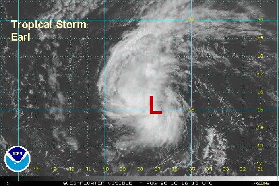
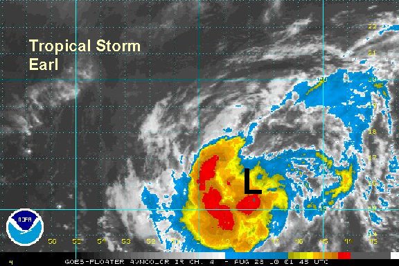
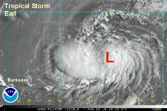
As of 7 am edt / ast tropical storm Earl was centered near 16.9 N / 57.3 W or about 385 miles east southeast of St. Martin / St. Maarten. Top sustained winds are estimated at 65 mph (65 mph nhc at 5 am advisory). Movement is west at 18 mph. Pressure estimated at 989 mb.
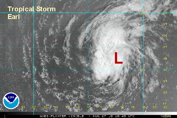
Earl is predicted to by near the eastern Leewards by this evening and into the northern Leewards Monday. After this forecast models are turning Earl east of the Bahamas, then northward between Bermuda and the U.S. coast in the middle to late next week.
Recently some models have taken Earl closer to the North Carolina coast by Wednesday and Thursday an offshore of Cape Cod by around Friday. We will watch this trend closely.

Interests in the Leewards, northern Windwards, Virgin Islands, Puerto Rico, Bahamas, Turks and Caicos should closely follow Earl. Hurricane preparations should be completed in the Leewards asap.

Interests on the U.S. east coast, Bermuda, and should monitor this system.
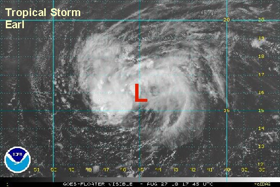
Tropicast: Visible Floater Satellite