Sunday Afternoon Update
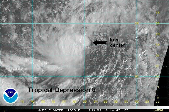
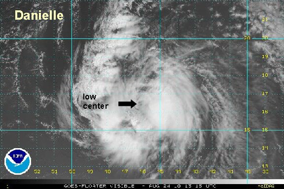
Shear exposes center briefly
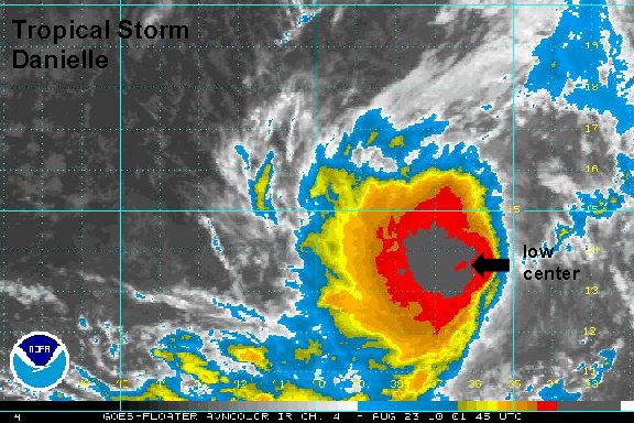
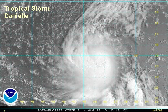
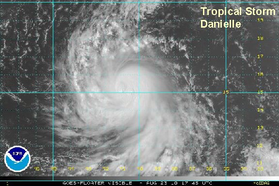
After strengthing this morning, wind shear picked up and stripped the convection from the center of circulation. Showers and storms have rebuilt near the center over the past few hours. In our estimation, TD 6 was briefly a tropical storm this morning, weakened some, and now again is probably close to tropical storm strength.
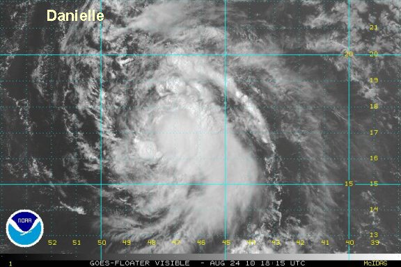
TD 6 also made a turn to the northwest, but looks to have resumed a more west northwest direction over the past few hours. Shear has weakened, so another strenghting trend has begun.
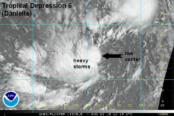
As of 3 pm edt / ast tropical depression 6 (Danielle) was centered 13.3° N / 34.7° W or about 1775 miles east southeast of the Leeward Islands or 2300 miles southeast of Bermuda. Top sustained winds are estimated at 40 mph (NHC 35 mph ). Movement is wnw at 12 mph. Pressure estimated at 1007 mb.

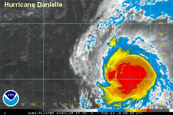
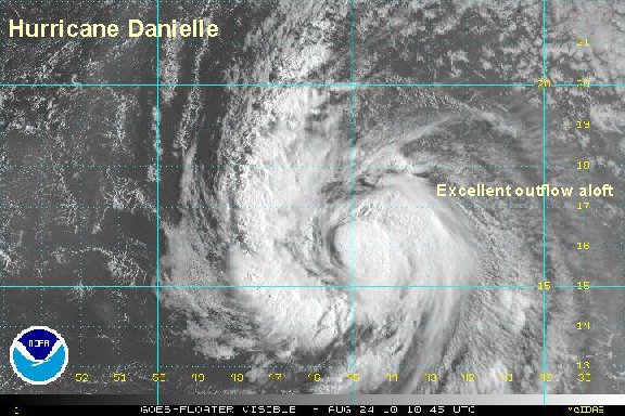
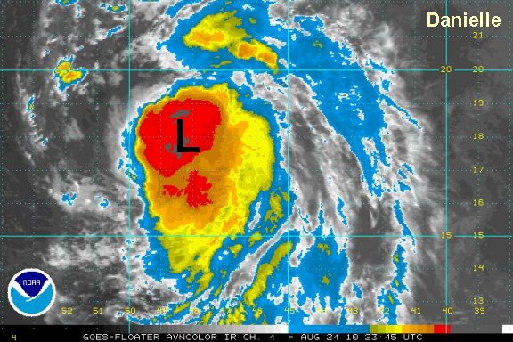
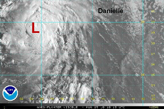
forecasts models generally take tropical depression 6 (Danielle) west northwest then recurve it northwest. This would take it well northeast of the Leewards then toward the general direction, but still far from Bermuda by Friday. The question is - does an upper trough pick it up at this point and take it into the open Atlantic waters? If not, Bermuda and possibly parts of the eastern seaboard will need to start watching Danielle.

Do not panic - there is plenty of time to watch Danielle. It is still a long way from land.
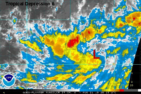
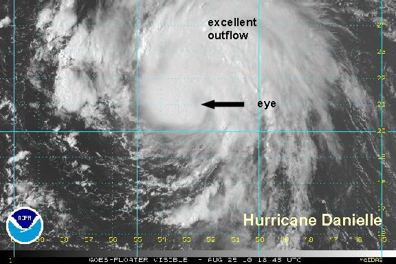
Tropicast: Visible Floater Satellite