The next Pacific tropical depression in waiting
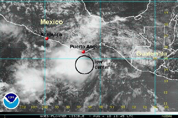
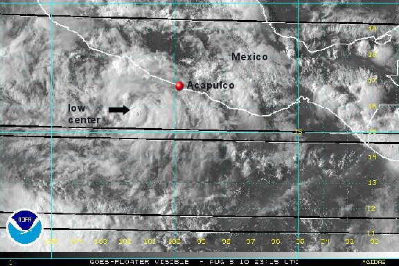
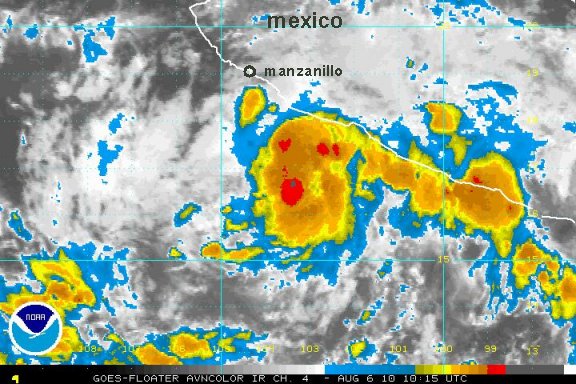
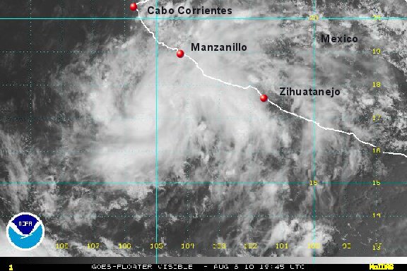
It sure looks like the newest east Pacific tropical depression has formed south of Mexico. The massive ball of convection over the Gulf of Tehuantepec earlier today has drifted westward. The latest visible satellite imagery shows a well defined low level circulation on the eastern edge of the convection.
As of 4:00 pm edt / 1:00 pm pdt the tropical disturbance was centered near 14.5°N / 96.5 °W or about 80 miles south of the Puerto Angel, Mexico. Movement is to the west northwest at about 10 mph. Top sustatined winds are estimated at 30 mph.
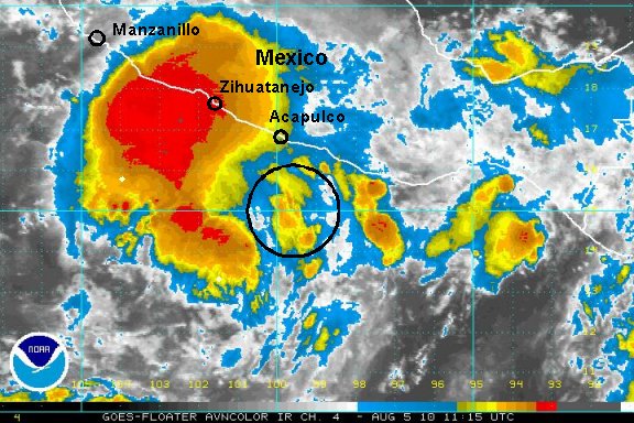
the latest forecasts take this tropical system parallel of the Mexico coast and offshore by about 100 miles. There are potential effects of wind, rain and high surf on the Mexico coast the next several days.
Tropicast: Pacific Floater Visible Satellite