Wednesday Morning Update
92L increases
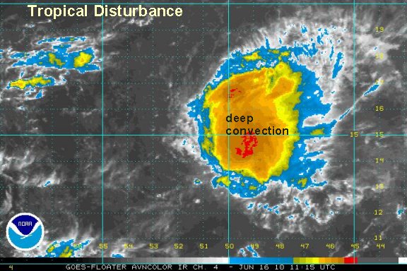
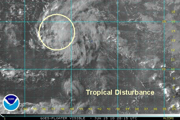
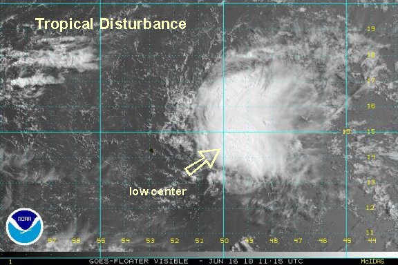
Low 92L has had a burst of convection overnight and looks the best organized so far. Despite this, NHC is still calling this a low chance of development. Their reasoning is due to strong westerly shear. Agreed, the west southwest winds are strong now, but models indicated that this band of shear is going to lift north over the next few days possibly giving the disturbance a more favorable enviornment for a few days. As stated earlier, there is enough here for this to be classified as a tropical depression at this time.

Yesterday, the models said a more hostile environment would weaken this system. This just another lesson in why forecast models can't be totally trusted. Buoys indicate seas of 5-8 feet with some waves up to 12 feet.
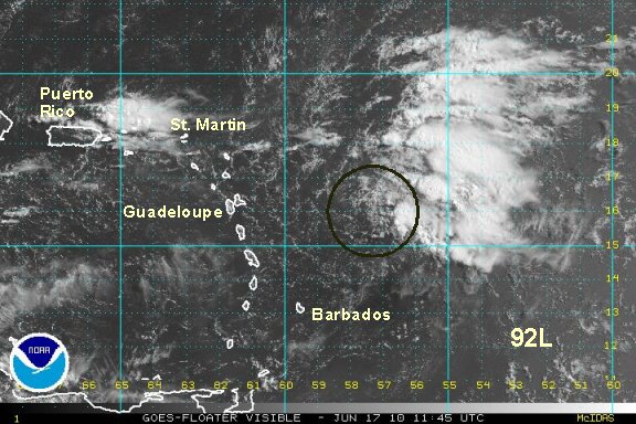
As of 7 am edt / ast the low is centered near 13.8° N / 46.7° W or about 735 miles east of Martinique. Movement was west northwest at about 15 mph. Top sustained winds are estimated at 30 mph.
Forecast models are struggling to handle this tropical feature. In general, the northwest motion should contine taking the low near / just north of the Leewards by Friday and Puerto Rico by Saturday.

Interests in the Leeward Islands should follow the progress of this disturbance.
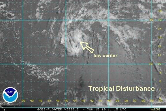
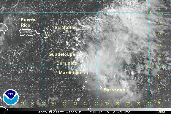
Tropicast: Visible Floater Satellite (7:15 am edt/ast)
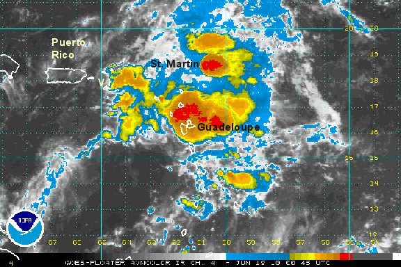
 Tropicast: I.R.Floater Satellite (7:15 am edt/ast)