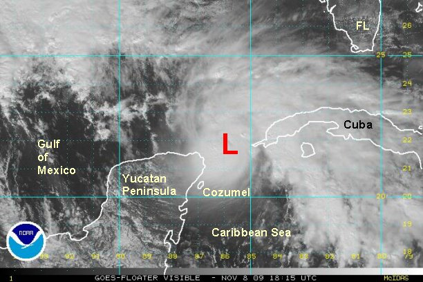
Ida moving through Yucatan Channel, strengthening
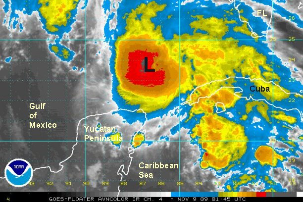
Ida is strengthening as evidenced by the latest recon. A surface wind estimate of 97 mph was recently recorded. Remember that wind gusts of 15-20% should be found with sustained winds. We still think that NHC is a little high with winds at 100 mph, we may be too at 95 mph. Ida is a small system, so fluctuations in strength can be quick to occur. Further strengthening is possible before wind shear increases. It would be reasonable to say that Ida has already exceeded expectations with wind strength.
Cancun and Cozumel have faired well with only minor winds and rain.
At 2 pm est hurricane Ida was centered near 21.8 N / 86.1 W or about 105 miles north northeast of Cozumel, Mexico 600 miles south of Pensacola, FL. Top sustained winds are estimated near 95 mph (NHC 100 mph). Ida is moving northwest at about 10 mph. Pressure 978 mb.
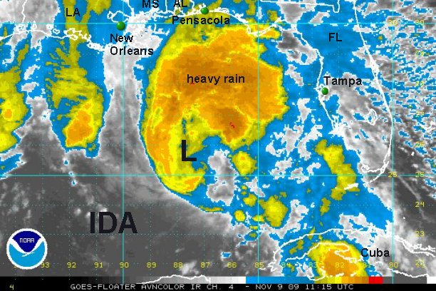
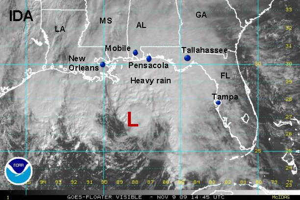
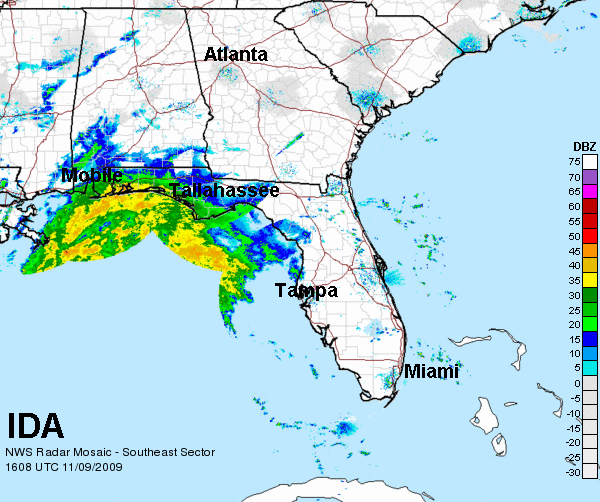
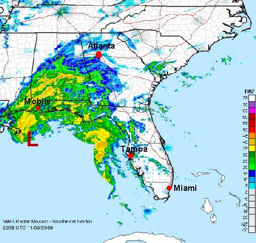
The latest forecast show Ida making landfall near the Alabama / Florida border Monday evening. As stated by NHC they are troubled by the spread of the forecast track later in the period. We agree with them that Ida should weaken significantly as wind shear increases and water temperatures get much cooler near the northern Gulf coast. This should mean that Ida will come in as an extratropical system. Most folks may not notice the difference though.
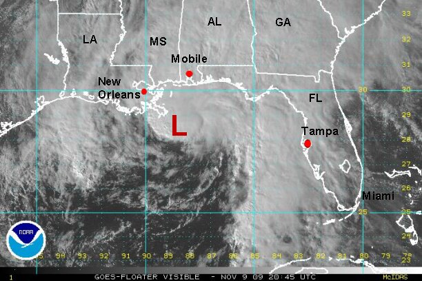
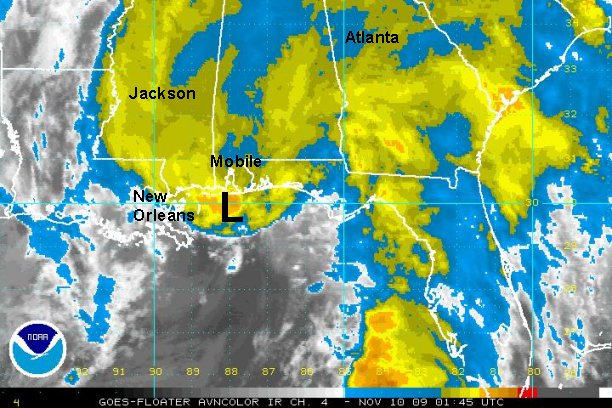
Tropicast: Atlantic Floater Visible Satellite