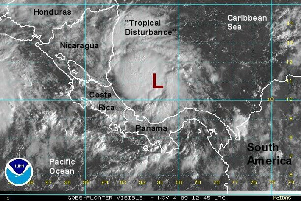
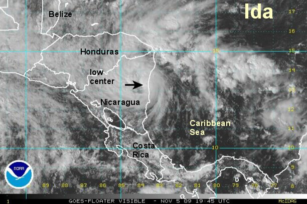
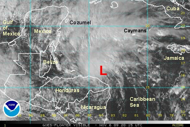
It looks like a new tropical depression has formed
A new tropical depression will likely be classified by later this afternoon. A recon is scheduled to be on site at that time. The first visible satellite images confirm that a circulation is well established. Quickscat satellite shows only partial data
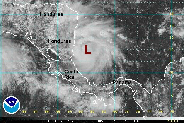
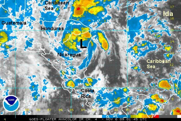
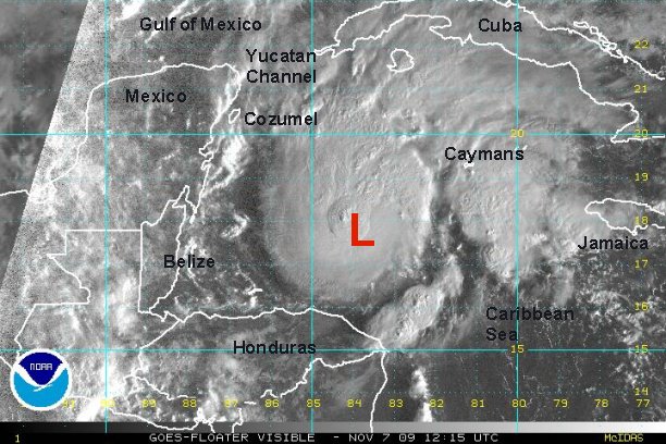
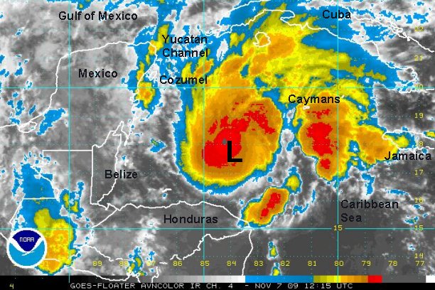
Deep convection is building rapidly on the north side of the circulation and the National Hurricane Center may need to skip the tropical depression phase and go straight to tropical storm Ida.
At 8 am est / 7 am cst the tropical disturbance was centered near 11 N / 81 W or about 170 miles east of the Costa Rica and Nicaragua border. Top sustained winds are estimated near 35 mph and increasing.
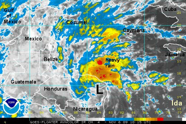
Forecast models are a bit ambiguous not picking up this system very well. At first glance for what it's worth, they drift the system toward Nicaragua and Honduras the next couple of days.
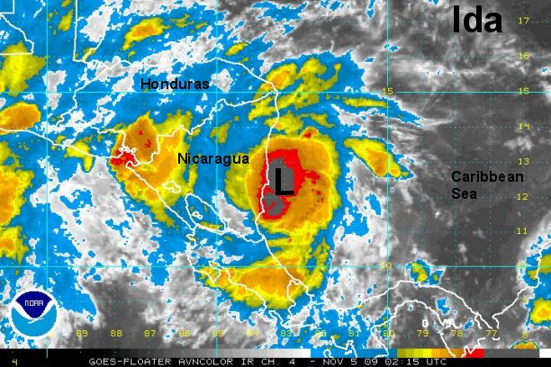
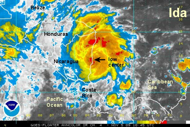
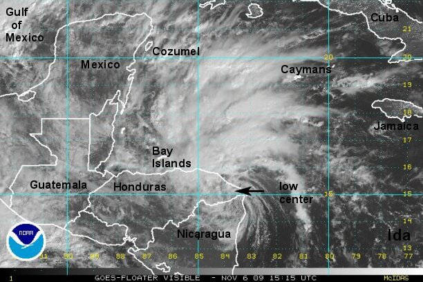
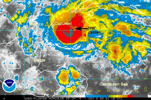
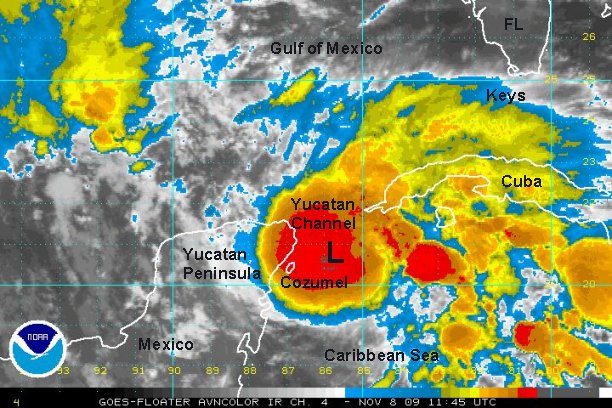
Tropicast: Atlantic Floater Visible Satellite