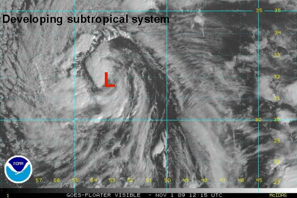
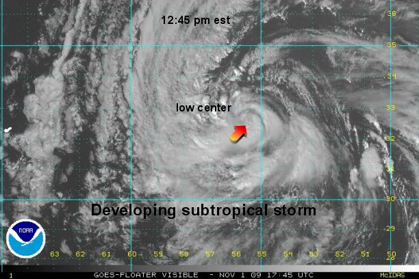
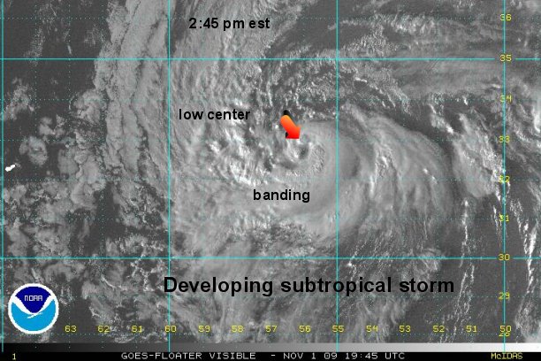
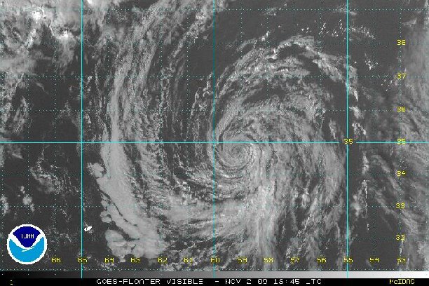
Subtropical storm trying to form
Forecast models have been advertising a very strong upper low for a few days now east of Bermuda. The low has very cold air aloft which is favorable for shower and storm development. If the showers and storms persist, they can warm the central core of the low to transfigure it into a subtropical or tropical system.
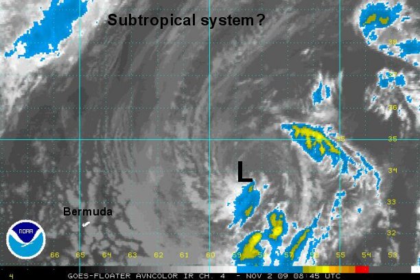
Usually a storm like this meets the wind criteria and only the warm core structure keeps it from being classified. The system is really a massive occlusion at this time. It does appear to be taking on some tropical characteristics and has a chance to be classified.
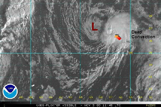
As of 8 am est / 9 am ast the low is centered near 31.8 N / 53.0 W or about 645 miles east of Bermuda. It is moving west northwest at 24 mph. Top sustained winds are near 40 mph.
Forecast models take it northwest - east of Bermuda then into the northern North Atlantic merging with a mid latitude storm in a few days near or east of Newfoundland.
Tropicast: Atlantic Floater Visible Satellite