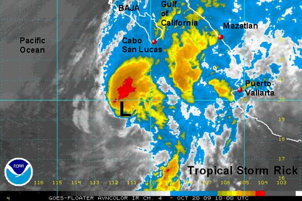
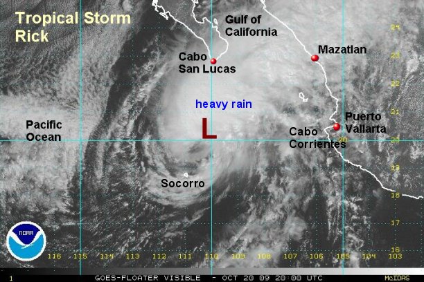
Rick being sheared
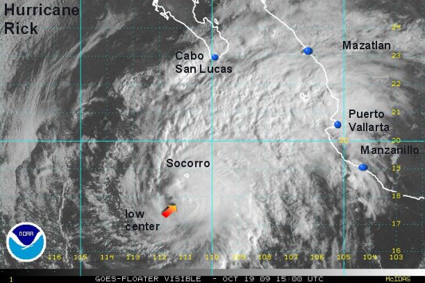
There is a very large discrepancy between our estimate and NHC's estimate of strength of hurricane Rick. The National Hurricane Center still has Rick a major hurricane at 115 mph on their last advisory, we now estimate Rick at 85 mph with the strongest winds east of the center. In fact this may be too high. The most recent visible images show the low center becoming exposed. If top sustained winds are 115 mph as the official estimate suggests, we should find gusts in the vicinity of 130 mph. With our estimate gusts could be around 100 mph. We will know for sure soon as a recon is heading to the area and should be on site early this afternoon.
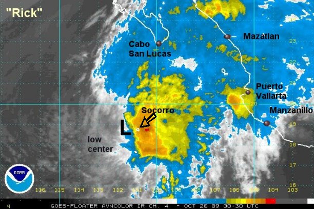
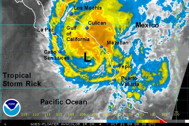
Rick has already starting slowing down its forward speed. It will be making a turn to the northeast very late today or early Tuesday. This turn is from a very strong upper disturbance diving into the southwestern U.S.. This new motion will put it in the vicinity of Cabo San Lucas by early Wednesday morning.
Surf of 12 feet + can be expected on the Pacific coast near Cabo San Lucas. Under the eyewall, seas up to 30 + feet with some higher waves can be expected. Seas will gradually diminish near the hurricane center today as the hurricane has weakened.
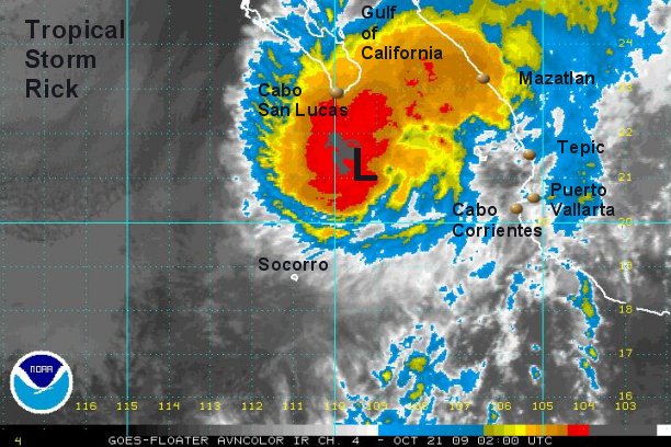
As of 12:00 pm edt / 9:00 am pdt Rick was centered near 17.8° N / 111.3° W or about 360 miles south southwest of Cabo San Lucas, Mexico. Top sustained winds are estimated at 85 mph (NHC 115 mph 11 am edt advisory). Hurricane Rick is slowing down, moving northwest about 8 mph.
Tropicast : Pacific Floater Visible Satellite