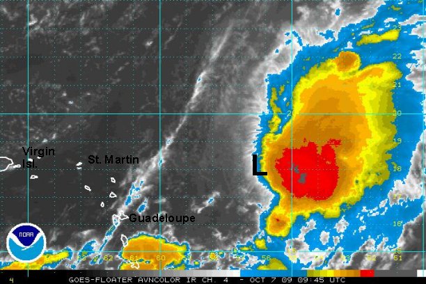
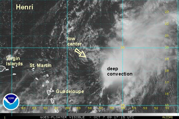
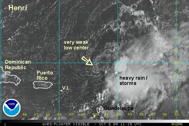
Henri forms east of the Leewards
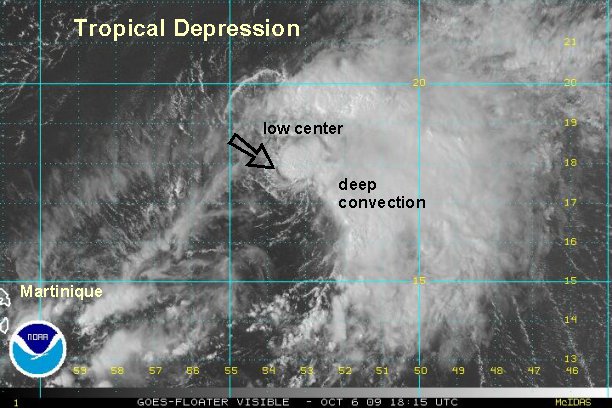
Visible satellite imagery clearly show a low level circulation east of the Leewards this afternoon. Upper air winds have relaxed enough that deep convection has not only remained east of the low center but now has built over it. If a tiny system was recently classified like Grace....up to 70 mph - surely this qualifies as a tropical depression.
At 4 pm edt / ast the "tropical disturbance" was centered near 17.8° N / 53.5° W or about 525 miles east of the Leewards. Top sustained winds are estimated at 35 mph with stronger gusts in the storms to the east of the center. This disturbance was moving northwest at about 17 mph.
***update NHC changed their outlook from "low" to "high" and will start advisories on Henri at 5 pm.
Tropicast: Atlantic Floater Visible Satellite