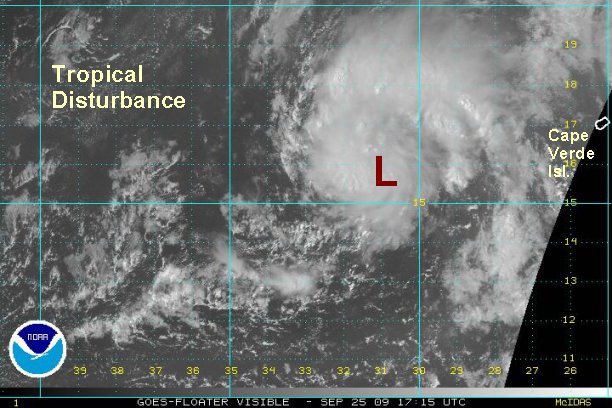
Unofficial tropical depression west of Cape Verde Isl.
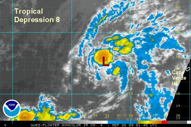
Satellite imagery and microwave satellite confirm that the tropical disturbance west of the Cape Verde Islands has enough structure to be classified as a tropical depression. Quickscat shows a weak although closed off surface circulation with up to 30 mph sustained winds. The structure looks rather impressive with nice banding features showing up on the north side of the circulation.
The one drawback is that it is difficult to tell if the surface circulation is under the mid level. At this time is appears that the surface low is east of the mid level low which is closer to the convection. Conditions appear favorable for further strengthening. If the banding continues to improve this feature may become tropical storm Grace with the next 12 hours.
At 2 pm edt / ast the tropical disturbance or unofficial tropical depression was centered 400 miles west southwest of the northwestern Cape Verde Islands. Top sustained winds are estimated at 30 mph. The tropical disturbance is moving west northwest at about 10-15 mph.
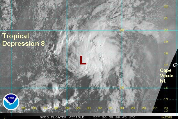
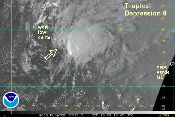
Forecast models are moving this system generally northwest into the open Atlantic the next several days. These are preliminary forecasts.
Tropicast: Visible Floater Satellite (1:15 pm edt/ast)