Thursday Afternoon Update
Danny's complexity returns...
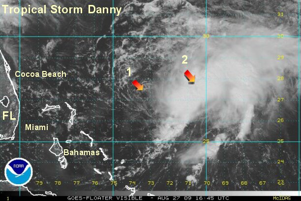
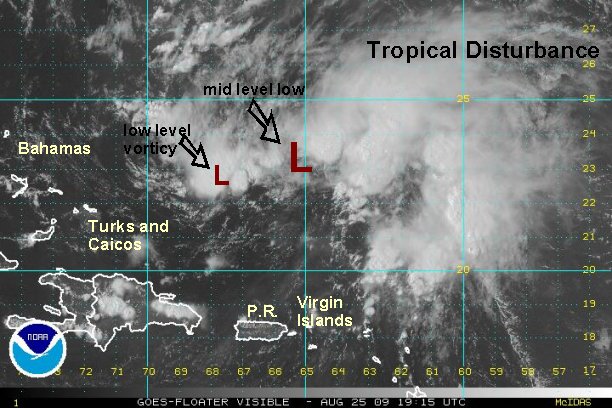
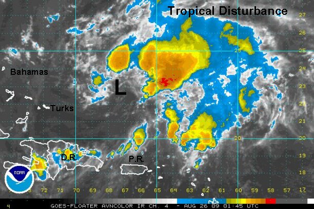
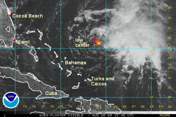
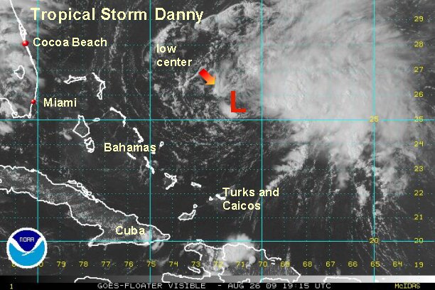
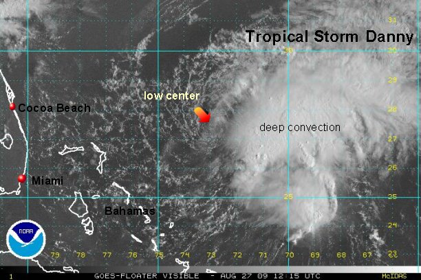
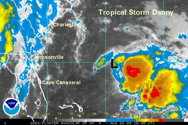
It doesn't happen often, but a new surface center may be forming east of the surface low. The surface low that has been tracked since yesterday is moving
west farther from the convection and looking more diffuse. Another low, which is probably a mid level is now under the deep convection. It seems plausible that this new mid level low may take over as the dominate one with the thunderstorm support.
What does this mean? First of all don't trust the model forecasts! Some may be centered on the weak surface low others on the developing mid level low. Earlier today some models started to move west again toward the coast. That was probably in response to the surface low moving west. If the mid level low takes over, the current forecast track may be ok. If the surface low moving west remains the dominate low then the track will shift west. Until it is clear which low will be the main one, we will use ranges again in the forecast.
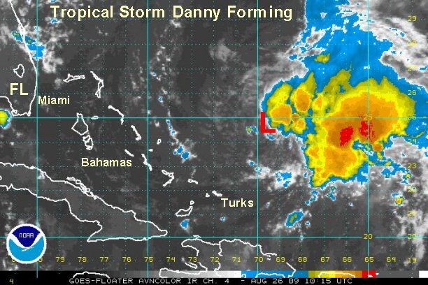
As of 2 pm edt /ast Danny was centered near 27.4° N / 73.5° W or about 225 miles northeast of the Abacos, Bahamas / 485 miles south southeast of Cape Hatteras, North Carolina. Top sustained winds are estimated at 45 mph (NHC estimates 60 mph). Movement is to the west at 10 mph. The mid level low is centered near 27.8° N / 70.8° W. This is 170 miles farther east northeast.

The motion of the mid level low is northwest at about 12 mph.
In NHC's last write up they acknowledged the westerly motion of the weak surface low, but still went with a northwest movement. They also acknowledged that their 60 mph may be too high. Look for them to lower the speed at 5pm unless there is a sudden burst of convection.
Danny will rapidly move up the eastern seaboard Friday and Saturday. There is potential for Danny to become a hurricane before nearing the U.S. coast. Follow the forecast closely.

This is what we expect:
Today: Danny is east northeast of the northern Bahamas (Abacos)
Friday: offshore (east) of the Georgia / South Carolina coast by about 150-300 miles
Friday Night: near to 100 east of Cape Hatteras
Saturday: Moving rapidly north northeast of the Mid-Atlantic coast by 100-250 miles east
Saturday Late afternoon / Evening: Near Cape Cod to east 50 miles
Saturday Evening / Night: Near or east of the New England coast into Canada (Nova Scotia) as an extratropical cyclone

Interests in the Mid-Atlantic and New England U.S. coasts should follow the latest developments with this developing tropical storm. Right now it appears that Cape Cod is the highest risk for some of the effects from Danny. If you live near the Northeast and Mid-Atlantic coast follow Danny closely.
#1 - weak surface low #2 mid level low
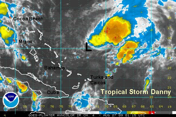
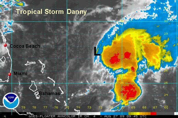
Tropicast: Atlantic Visible Floater Satellite (12:45 pm edt)