Bill less organized, weakens a little overnight
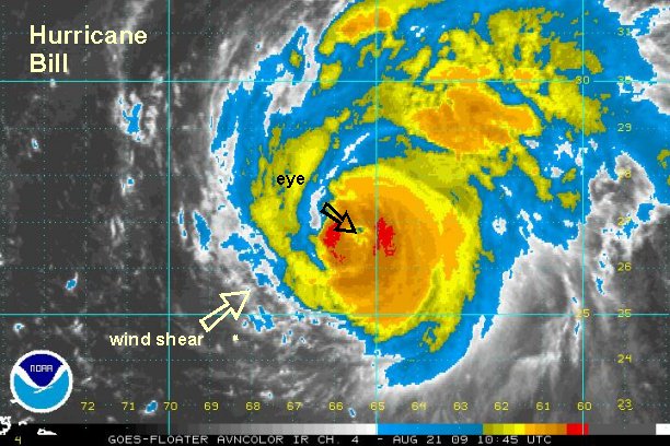
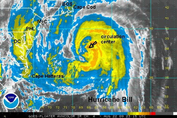
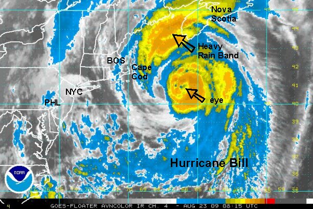
Wind shear continues to deteriorate the appearance of Bill. Although the eye is still intact, it is becoming more difficult to see on satellite imagery. The track has shifted a touch back to the east later in the period, putting the track close to the coast of Nova Scotia instead of inland.
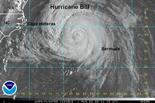
At 7:30 am edt / ast Bill was centered near 26.7° N / 65.5 W or about 395 miles south of Bermuda / 1060 miles southeast of Cape Cod, MA. Movement is northwest at about 17 mph. We estimate top sustained winds of 110 mph. The Hurricane Center is still at 120 mph on their last advisory. Lowest pressure reported from the recon: 951 mb.
Effects:Rain squalls are approaching Bermuda now. Locally heavy rain of several inches is possible today through early Saturday. Even though the worst of the winds will pass to the west, tropical storms force winds (39-74 mph) are likely with gusts to hurricane force (75 mph) possible. Expect rough surf and strong rip currents on the eastern U.S. coast, Bermuda, and eastern Canadian coast from swell produced by Bill.
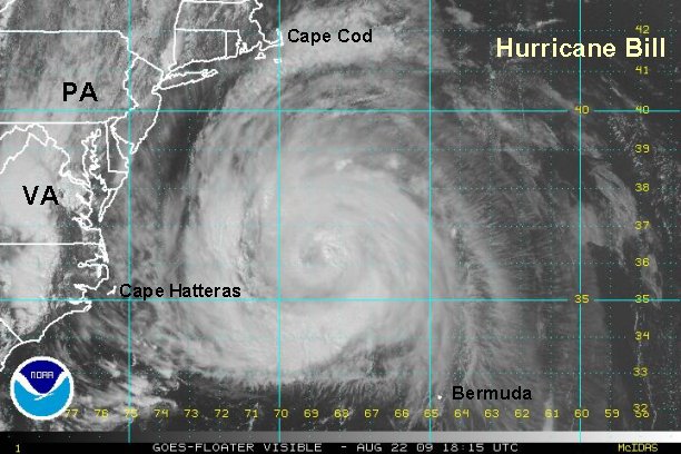
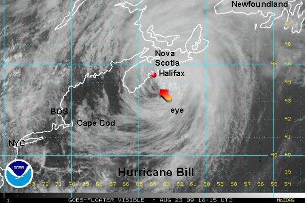
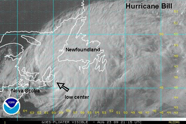
Some gusty winds and locally heavy rain may brush Cape Cod Saturday night and Sunday morning. These effects will move into down east Maine early Sunday and last most of the day. Nova Scotia will get very windy weather, rough seas as well as heavy rain during the day Sunday. Newfoundland will see the worst weather Sunday night and into early Monday. The worst of this hurricane appears to be headed to southern Nova Scotia and Newfoundland. This is the region of greatest concern.
In general this is what forecast models predict to happen:
Late Friday Night / Early Saturday Morning: moving west of Bermuda by about 150 miles.
Saturday: Well east of Cape Hatteras, NC - 250-350 miles
Early Sunday: Passing 100-250 miles east of Cape Cod.
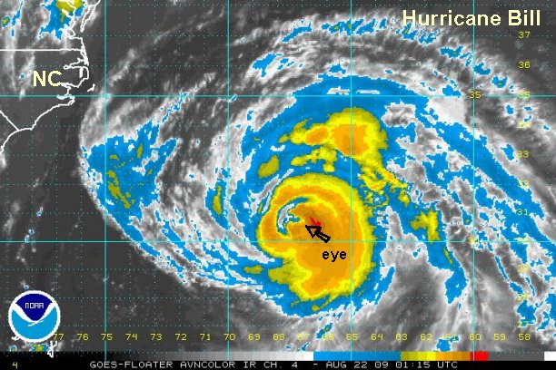
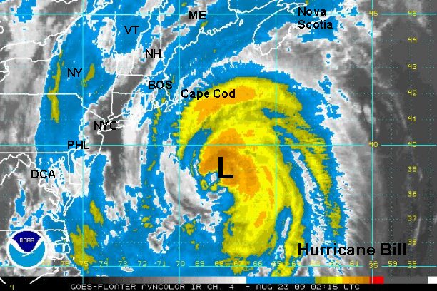
Sunday: Over Nova Scotia or just offshore.
Sunday late: near the central /east coast of Nova Scotia, Canada.
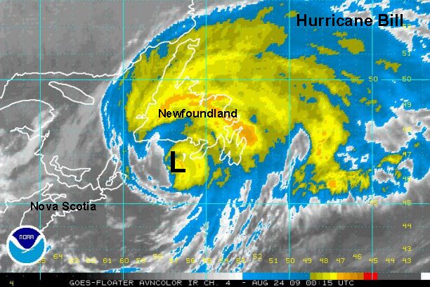
Overnight Sunday / early Monday: near Newfoundland, Canada.
Down the road...Bill will transform into a large north Atlantic gale and may bring nasty weather to Europe.
Bill will accelerate as it is picked up by a strong upper trough on the east coast. It will rapidly move past eastern Canada Sunday and Sunday night.
Hurricane Preparedness: http://www.tropicalweather.net/plan.htm
Preseason Hurricane Prepareness: http://www.tropicalweather.net/hurrican ... dness.html
Other Hurricane Articles: http://www.tropicalweather.net/hurricane_articles.htm
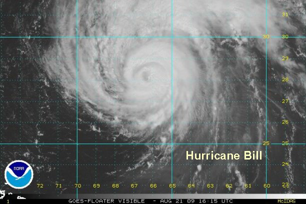
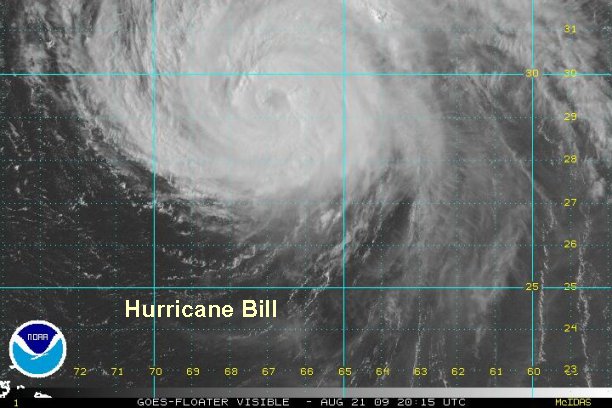
Tropicast: Atlantic Floater I.R. Satellite - (6:15 am edt)