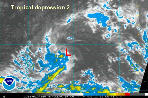
Wednesday Afternoon Update
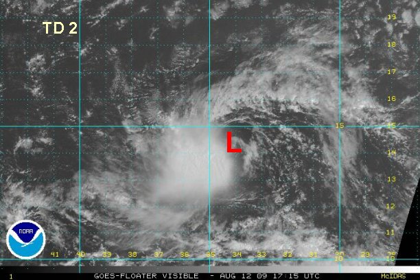
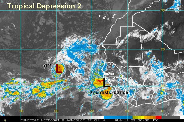
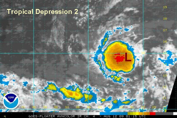
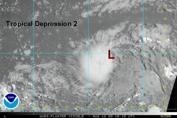
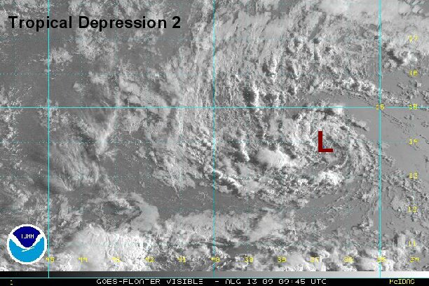
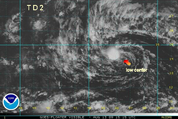
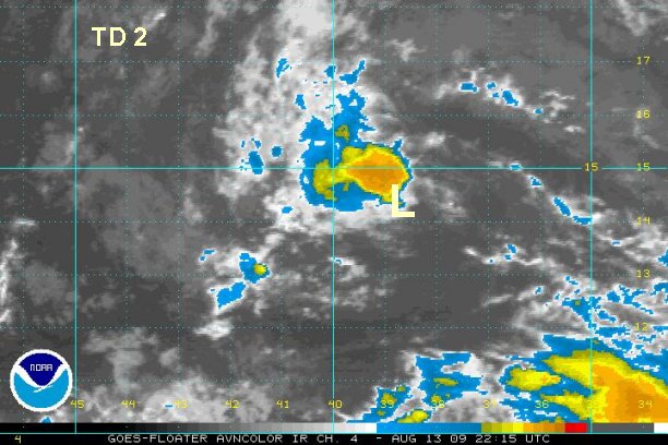
Tropical depression 2 sheared a bit today
Earlier this morning tropical depression 2 made a strong bid at becoming Ana with tropical storm force winds on the western side of the circulation. Today easterly wind shear has pushed back convection several times. The center of circulation is resting on the edge of the convection.
At 2:30 pm edt / 2:30 pm ast tropical depression 2 is centered near 14.4° N 34.1° W or about 610 miles west southwest of the Cape Verde Islands / 1725 miles east of the Lesser Antilles. Its moving west or slightly south of due west at about 13 mph.
Recent Quickscat still estimates winds of 45 knots on the west side of the circulation under the convection. Winds are weak on the eastern side - about 10 knots. We estimate top sustained winds at 35 mph in the southwestern squalls.
If wind shear weakens, tropical depression 2 may achieve tropical storm status quickly.
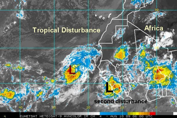
Forecast models generally still recurve this system east of the Islands with only modest development. The models develop the next tropical wave following tropical depression 2 much more vigorously. For vacationers traveling to the Caribbean, keep updated on this system and the next.
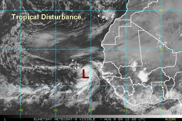
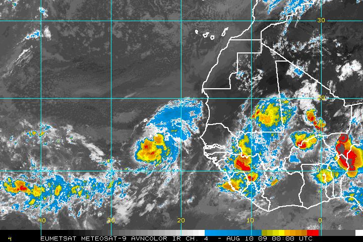
Tropicast: Eastern Atlantic Visible Satellite