Monday Midnight Update
Norbert organizing slowly
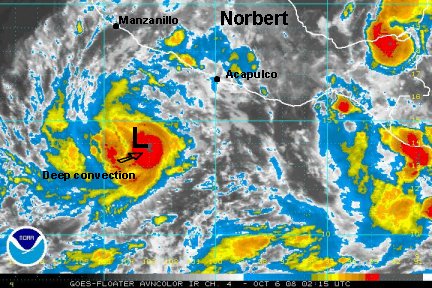
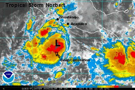
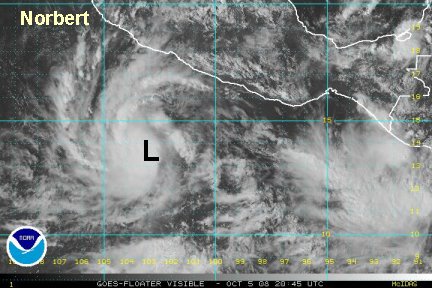
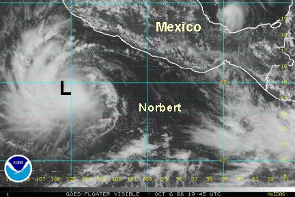
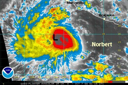
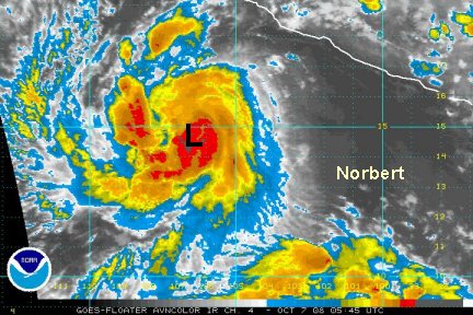
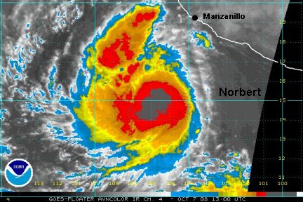
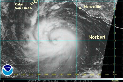
Tropical storm Norbert is centered about 340 miles south of manzanillo. Officially it is moving west at 8 mph. It looks like more wnw to us. A burst of very deep convection is on the southeast side of the circulation. A smaller development is now west of the low center too. This is a sure sign of organization of Nortbert, on its way of becoming a hurricane. At this rate, Norbert will become a hurricane by Monday afternoon. We think that the National Hurricane Center's estimate of 65 mph is right on target.
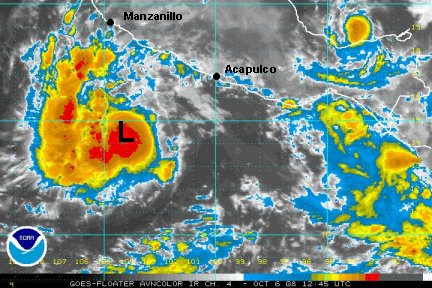
A few rain bands have developed on the west coast. One was just north of Acapulco another near Manzanillo. Locally heavy rain can be expected with these scattered storms. The heaviest rain will remain offshore with the low center.
Expect surf to build on the west coast of Mexico and southern Baja over the next few days.
Forecast models have been taking Norbert wnw then nw, west of Cabo. Some then weaken it to at least a tropical storm before moving toward the west central Baja.
Interests along the western Mexican coast and the southern Baja should contine to follow Nobert.
TropicalWeather.net's Tropical Pic