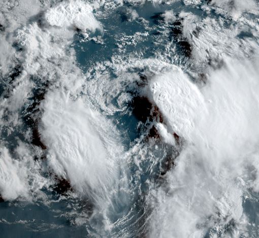
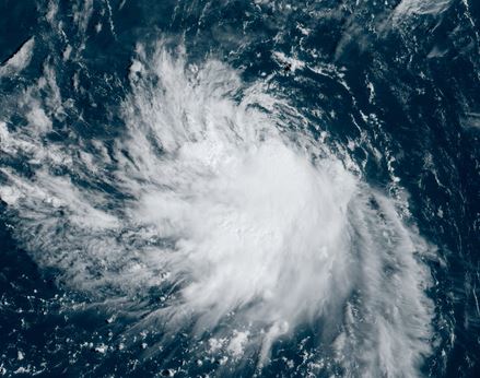
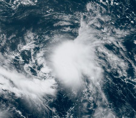
Circulation of TD 6 not impressive
TD six is experience westerly shear and appears to have a weak low level circulation
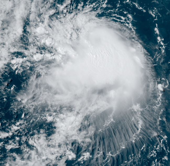
The Weather Situation
SUMMARY OF 1100 AM AST...1500 UTC...INFORMATION
-----------------------------------------------
LOCATION...16.8N 53.7W
ABOUT 625 MI...1010 KM E OF THE NORTHERN LEEWARD ISLANDS
MAXIMUM SUSTAINED WINDS...35 MPH...55 KM/H
PRESENT MOVEMENT...W OR 280 DEGREES AT 12 MPH...19 KM/H
MINIMUM CENTRAL PRESSURE...1008 MB...29.77 INCHES
Tropicast: Visible satellite
Tropical Weather Forecast:
TD 6 will likely dissipate soon.