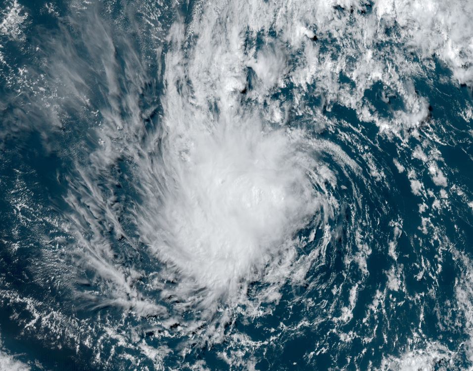
TD 4 forms
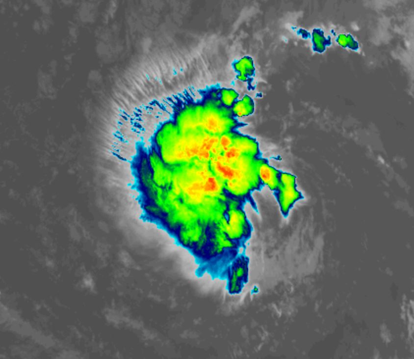
Satellite imagery shows an organized area of convection east of Bret in the south central North Atlantic. TD 4 will likely become the next tropical storm later today.
The Weather Situation
SUMMARY OF 500 AM AST...0900 UTC...INFORMATION
----------------------------------------------
LOCATION...10.9N 41.1W
ABOUT 1395 MI...2240 KM E OF THE LESSER ANTILLES
MAXIMUM SUSTAINED WINDS...35 MPH...55 KM/H
PRESENT MOVEMENT...W OR 280 DEGREES AT 12 MPH...19 KM/H
MINIMUM CENTRAL PRESSURE...1007 MB...29.74 INCHES
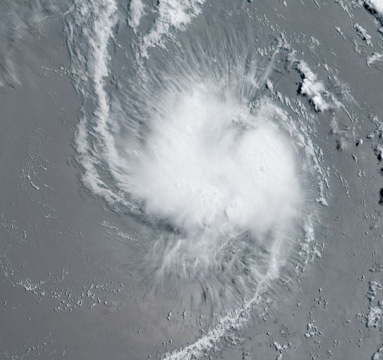
Tropicast: IR satellite
Tropical Weather Forecast:
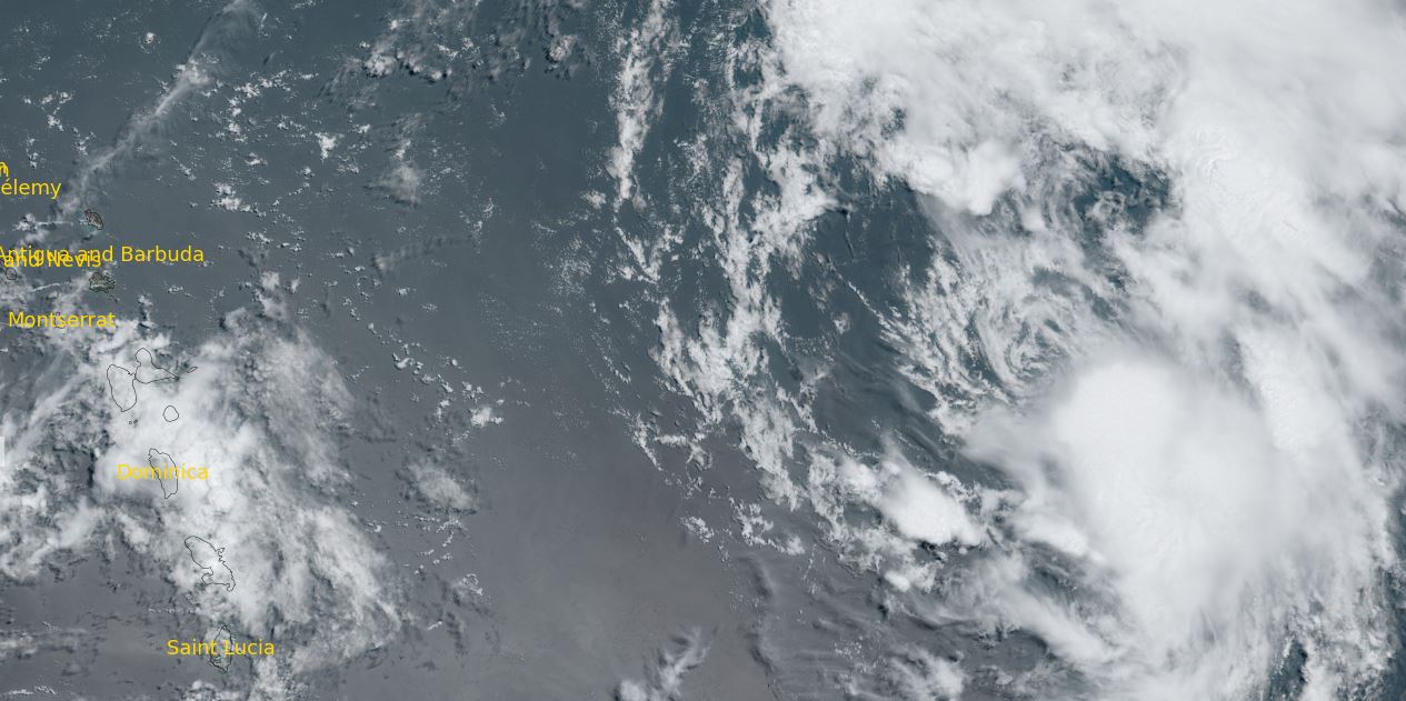
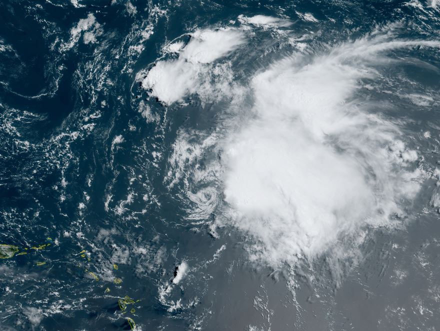
TD4 is expected to strengthen marginally and gradually be pulled NW to recurve before reaching the Leewards. It will then continue NW around a large subtropical high. Windshear will increase as it approaches the Islands and likely weaken the tropical cyclone. Interests in the Leewards should follow the progress of TD4.