Tuesday Morning Update
Pamela forecast to strengthen
The Weather Situation
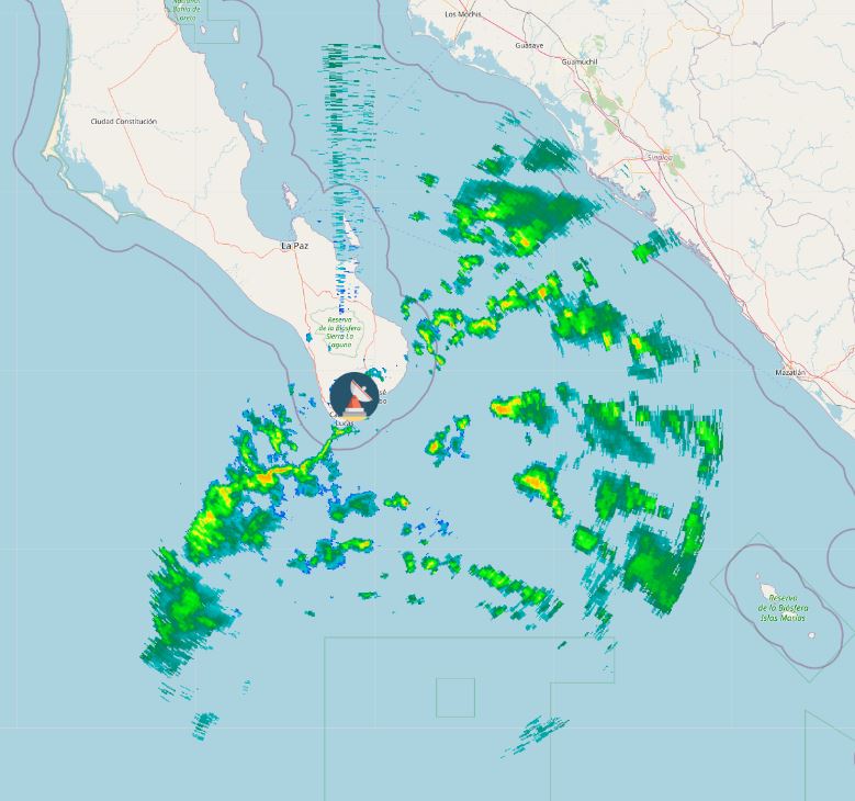
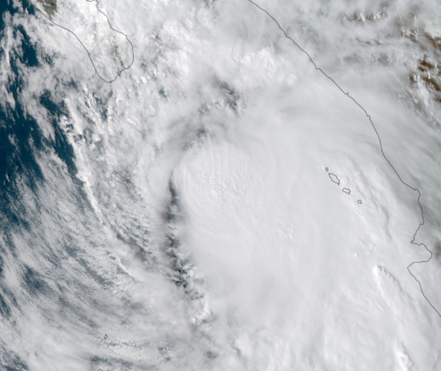
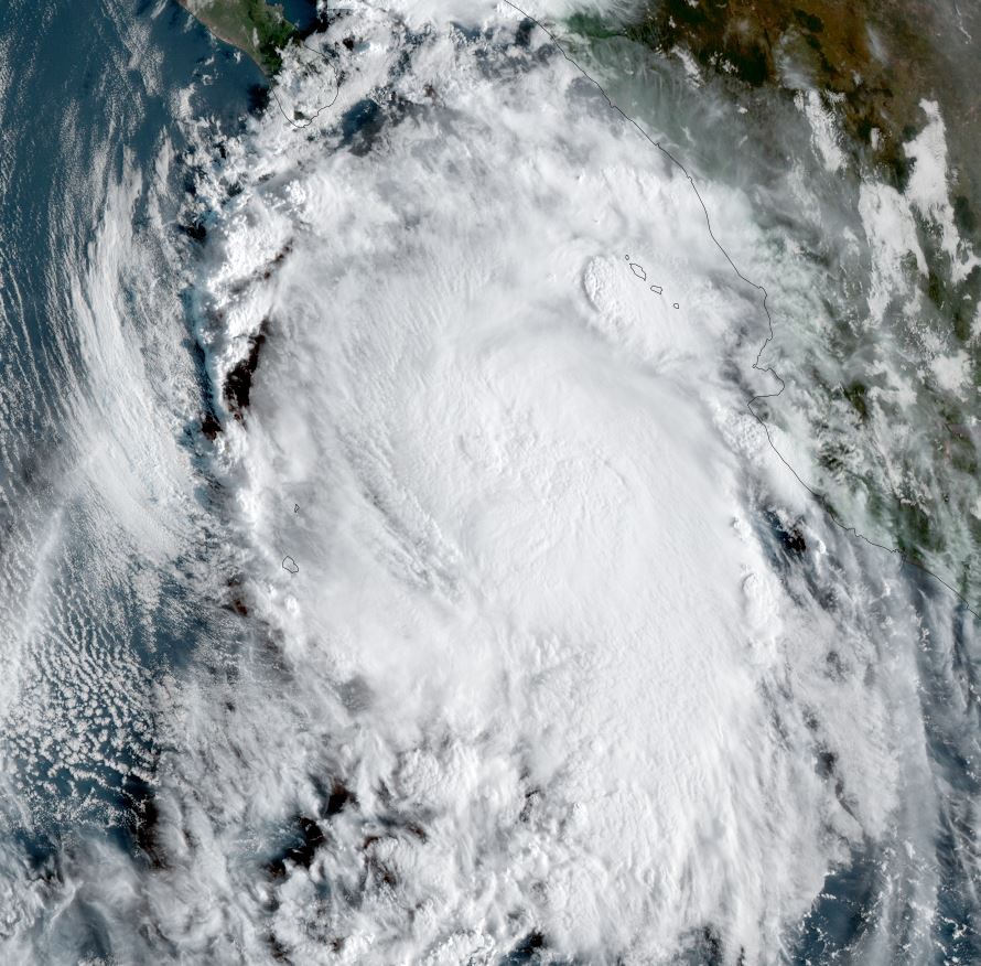
Pamela's rain is knocking at the door of the southern Baja. No eye is seen on satellite imagery, but Pamela is expected to further organize.
Current tropical weather
SUMMARY OF 900 AM MDT...1500 UTC...INFORMATION
----------------------------------------------
LOCATION...20.4N 108.9W
ABOUT 250 MI...405 KM SW OF MAZATLAN MEXICO
ABOUT 185 MI...295 KM SSE OF THE SOUTHERN TIP OF BAJA CALIFORNIA
MAXIMUM SUSTAINED WINDS...80 MPH...130 KM/H
PRESENT MOVEMENT...N OR 10 DEGREES AT 13 MPH...20 KM/H
MINIMUM CENTRAL PRESSURE...985 MB...29.09 INCHES
Tropical Weather Forecast:
Pamela will move northeast and make landfall on the west-central coast of Mexico, north of Cabo Corrientes late tonight as a hurricane.
Tropicast: Visible Satellite
Tropicast: Los Cabos Radar 8:44 AM PDT (13:40Z)
Pamela
- Tropical Inspector
- Site Admin
- Posts: 3630
- Joined: Tue Feb 20, 2007 2:28 pm
- Antispam: no
- Location: Under a palm tree
- Contact:
Pamela
Rich Johnson
Twitter: https://twitter.com/richjohnsonwx
Certified Broadcast Meteorologist - Hurricane Expert
Twitter: https://twitter.com/richjohnsonwx
Certified Broadcast Meteorologist - Hurricane Expert
- Tropical Inspector
- Site Admin
- Posts: 3630
- Joined: Tue Feb 20, 2007 2:28 pm
- Antispam: no
- Location: Under a palm tree
- Contact:
Re: Pamela
Tropicast: Visible Satellite Tuesday Evening
Rich Johnson
Twitter: https://twitter.com/richjohnsonwx
Certified Broadcast Meteorologist - Hurricane Expert
Twitter: https://twitter.com/richjohnsonwx
Certified Broadcast Meteorologist - Hurricane Expert
Who is online
Users browsing this forum: No registered users and 3 guests