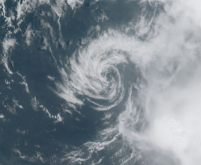
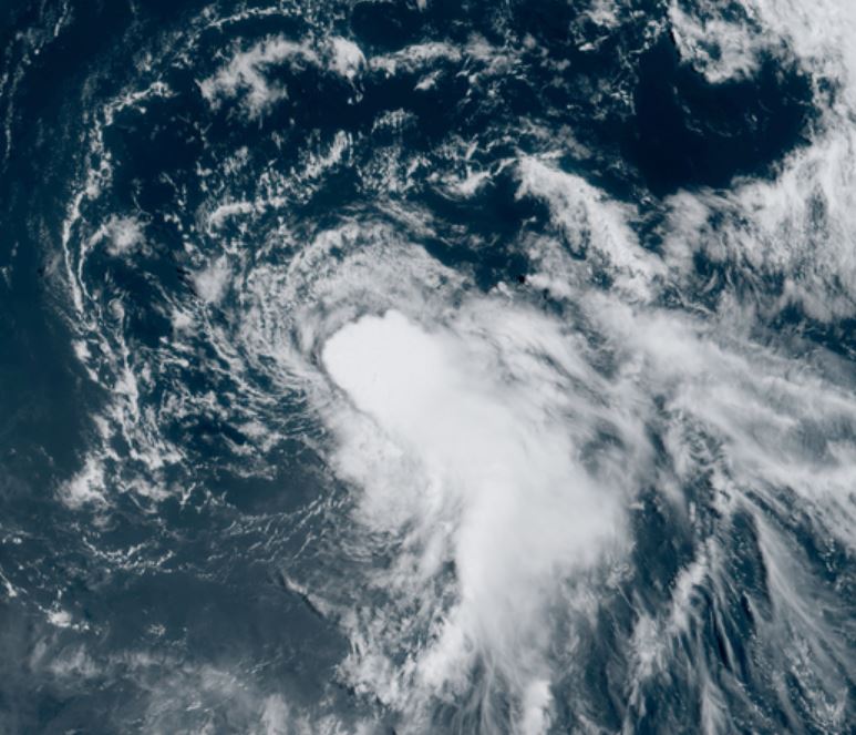
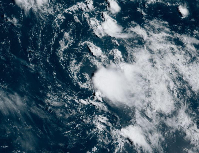
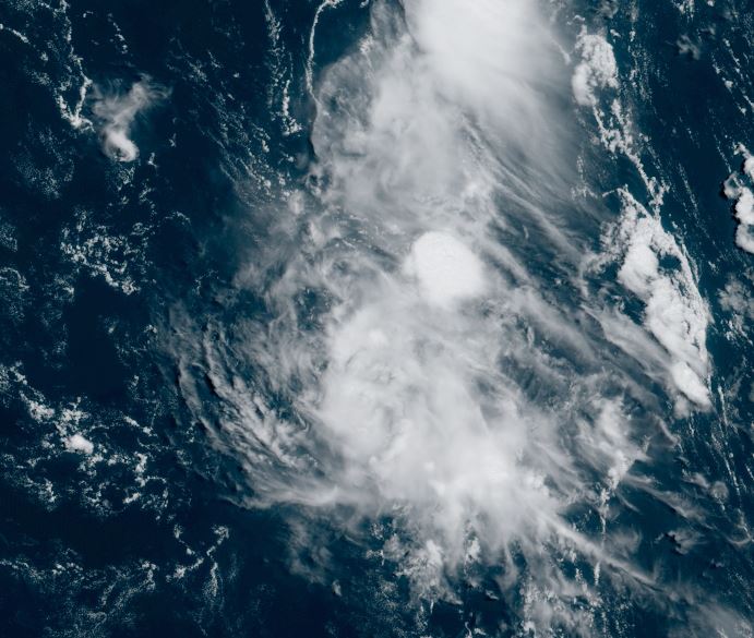
Saturday Midday Update
TD 10 in bad shape
The Weather Situation
Satellite imagery shows TD 10 void of convection for the exception of well to the east.
Current Tropical Weather
LOCATION...14.8N 50.1W
ABOUT 800 MI...1285 KM E OF THE LEEWARD ISLANDS
MAXIMUM SUSTAINED WINDS...35 MPH...55 KM/H
PRESENT MOVEMENT...N OR 350 DEGREES AT 8 MPH...13 KM/H
MINIMUM CENTRAL PRESSURE...1007 MB...29.74 INCHES
Tropical Weather Forecast:
TD 10 will drift north or northeast and may briefly strengthen before weakening again. It poses no threat to land.
Tropicast: Visible Satellite
Kate
- Tropical Inspector
- Site Admin
- Posts: 3630
- Joined: Tue Feb 20, 2007 2:28 pm
- Antispam: no
- Location: Under a palm tree
- Contact:
Kate
Rich Johnson
Twitter: https://twitter.com/richjohnsonwx
Certified Broadcast Meteorologist - Hurricane Expert
Twitter: https://twitter.com/richjohnsonwx
Certified Broadcast Meteorologist - Hurricane Expert
- Tropical Inspector
- Site Admin
- Posts: 3630
- Joined: Tue Feb 20, 2007 2:28 pm
- Antispam: no
- Location: Under a palm tree
- Contact:
Re: TD 10
Sunday Midday Update
TD 10 should be Kate soon
The Weather Situation
Wind shear has lessened and deep convection has built from the southeast of the low to the circulation center. It is surprising that NHC did not upgrade to tropical storm Julian at this advisory time.
Current Tropical Weather
SUMMARY OF 1100 AM AST...1500 UTC...INFORMATION
-----------------------------------------------
LOCATION...18.8N 50.2W
ABOUT 770 MI...1240 KM E OF THE LEEWARD ISLANDS
MAXIMUM SUSTAINED WINDS...35 MPH...55 KM/H
PRESENT MOVEMENT...N OR 350 DEGREES AT 12 MPH...19 KM/H
MINIMUM CENTRAL PRESSURE...1008 MB...29.77 INCHES
Tropical Weather Forecast:
TD 10 (Kate) will drift north for the next several days. It poses no threat to land.
Tropicast: Visible Satellite Sunday
Rich Johnson
Twitter: https://twitter.com/richjohnsonwx
Certified Broadcast Meteorologist - Hurricane Expert
Twitter: https://twitter.com/richjohnsonwx
Certified Broadcast Meteorologist - Hurricane Expert
- Tropical Inspector
- Site Admin
- Posts: 3630
- Joined: Tue Feb 20, 2007 2:28 pm
- Antispam: no
- Location: Under a palm tree
- Contact:
Re: Kate
Wednesday Evening Update
Kate dissipates
The Weather Situation
Kate was declared dissipated today. It was only a minimal tropical storm and did not affect land.
Tropicast: Visible Satellite Tuesday
Tropicast: Visible Satellite Wednesday
Kate dissipates
The Weather Situation
Kate was declared dissipated today. It was only a minimal tropical storm and did not affect land.
Tropicast: Visible Satellite Tuesday
Tropicast: Visible Satellite Wednesday
Rich Johnson
Twitter: https://twitter.com/richjohnsonwx
Certified Broadcast Meteorologist - Hurricane Expert
Twitter: https://twitter.com/richjohnsonwx
Certified Broadcast Meteorologist - Hurricane Expert
Who is online
Users browsing this forum: No registered users and 2 guests