Rip current danger on eastern US coasts
The Weather Situation
Look for surf / rip current risk to increase on the Mid Atlantic, Northeast U.S. and Bermuda SW / W coasts to increase as Jose move north the next few days. Surf will subside on the north shore of Hispaniola / Puerto Rico and Bahamas.
A tropical storm watch may be issued by NHC late today for parts of the Mid Atlantic.
Current Tropical Weather
As of 5:00 AM AST Jose was centered at 27.9 N / 71.8 W or 550 miles SE of Cape Hatteras / 515 miles SW of Bermuda. It was moving NW at 9mph. Top sustained winds are estimated at 80 mph. Pressure was estimated at 983 MB.
Tropical Weather Forecast:
Jose is now moving NW. It should turn more to the north soon. Interests in the the Mid Atlantic and Northeast US as well as eastern Canada should monitor the progress of Jose.
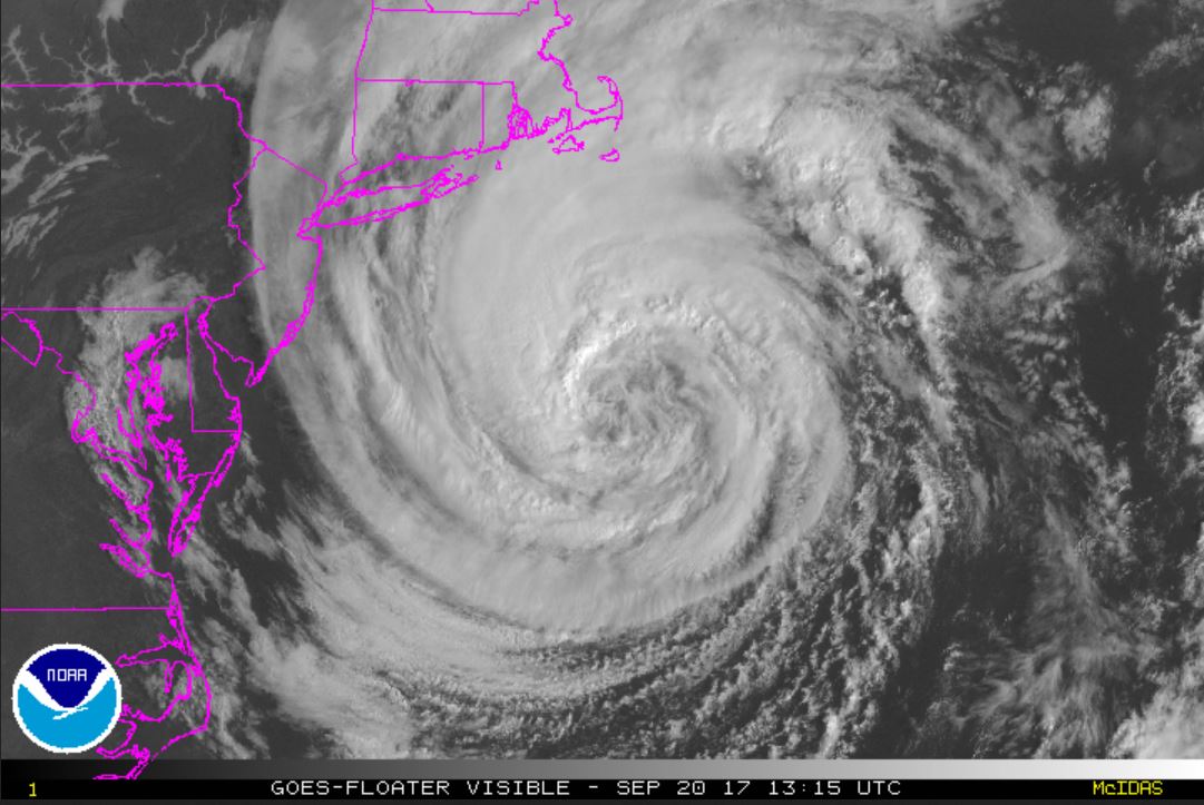
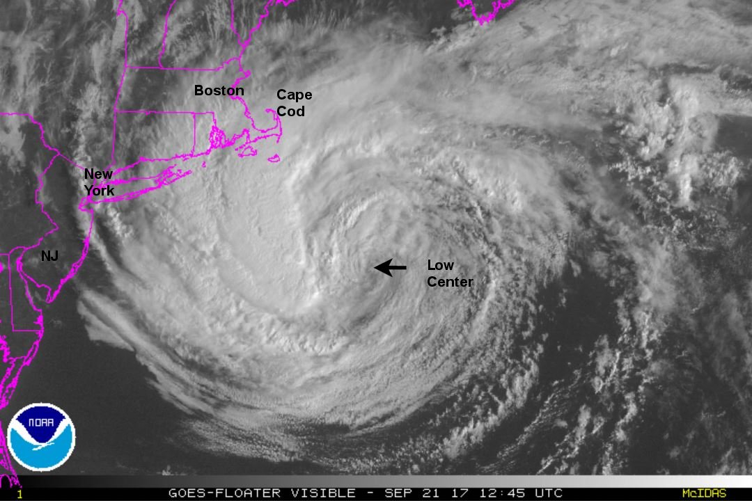
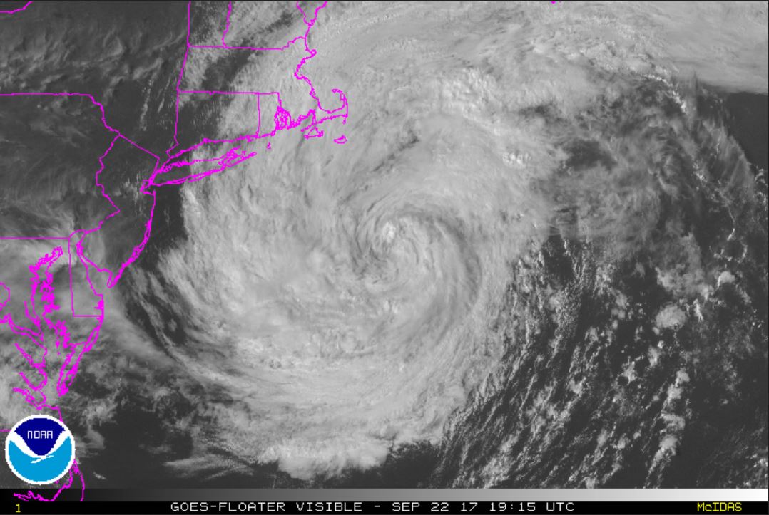
Tropicast: Visible Satellite