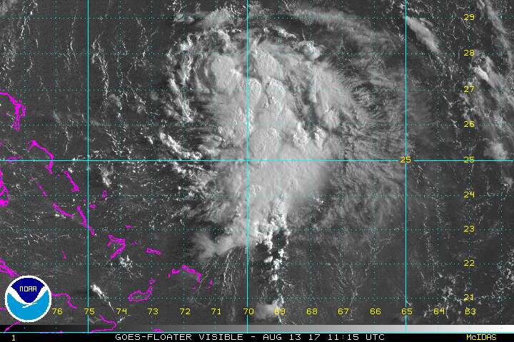
Tropical Depression 8 NE of the Bahamas
The Weather Situation
Tropical depression 8 is strengthening and is expected to be named tropical storm Gert soon. Deep convection is building over the center and to the south of the circulation. The only effects to the eastern United States will be higher than normal surf early to the middle of this week
Current Tropical Weather
As of 5 AM EDT Tropical Depression 8 was centered at 26.5 N / 70.9 W or 310 miles NE of the NE Bahamas / 545 SW of Bermuda. It was moving NNW at 14 mph. Top sustained winds are estimated at 35 mph. Pressure was estimated at 1011 mb.
Tropical Weather Forecast:
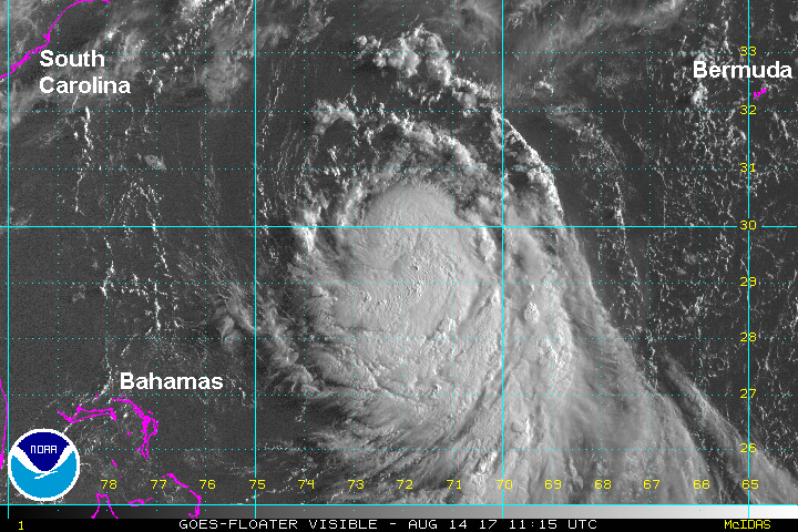
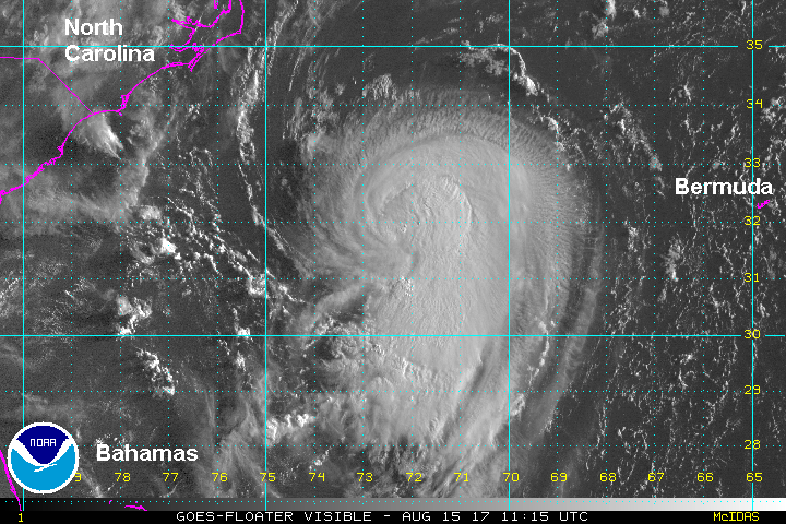
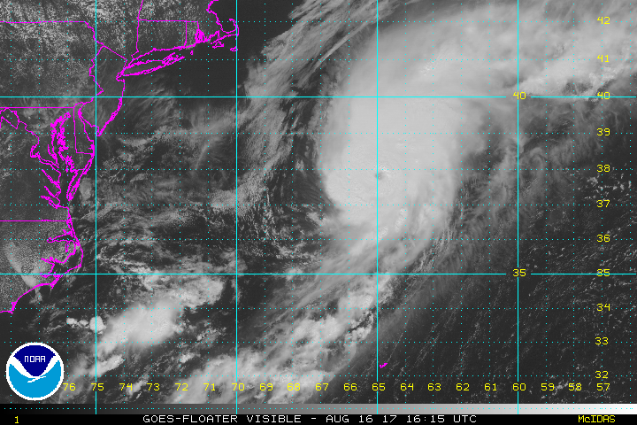
TD 8 will make its way between Bermuda and the east coast of the United States Monday through Wednesday then into the northern north Atlantic.
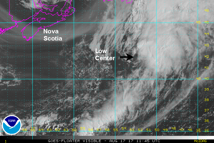
Tropicast: Visible Satellite