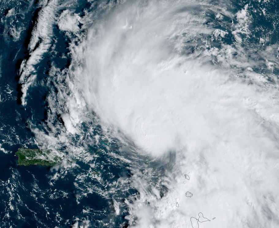
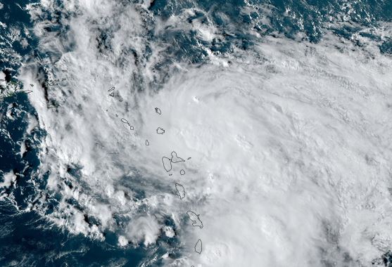
Tammy near Barbuda
The Weather Situation
SUMMARY OF 800 PM AST...0000 UTC...INFORMATION
----------------------------------------------
LOCATION...17.5N 61.6W
ABOUT 15 MI...25 KM ESE OF BARBUDA
ABOUT 30 MI...50 KM NNE OF ANTIGUA
MAXIMUM SUSTAINED WINDS...85 MPH...140 KM/H
PRESENT MOVEMENT...NNW OR 335 DEGREES AT 10 MPH...17 KM/H
MINIMUM CENTRAL PRESSURE...989 MB...29.20 INCHES
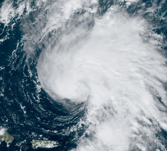
Tropicast: Visible satellite Friday afternoon
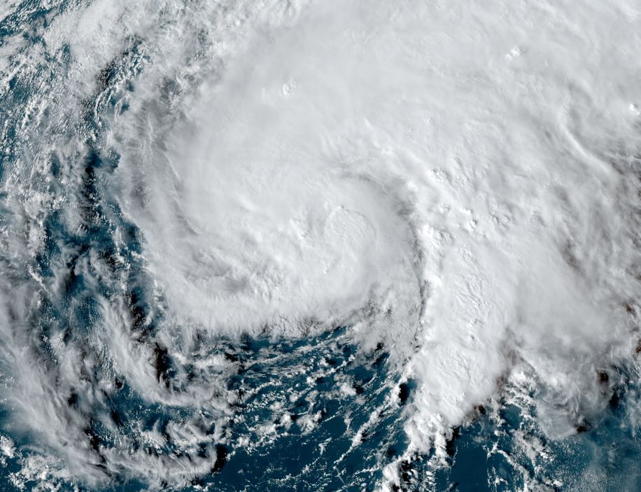
Tropicast: Visible satellite Saturday afternoon
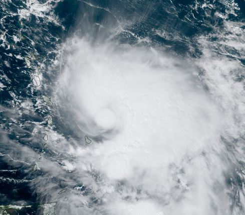
Tropical Weather Forecast:
Tammy will gradually move north away from the Leewards into Sunday. Heavy rainfall, gusty winds and high surf will gradually subside starting later tomorrow over the northern Leewards.