TD 17 forms
The Weather Situation
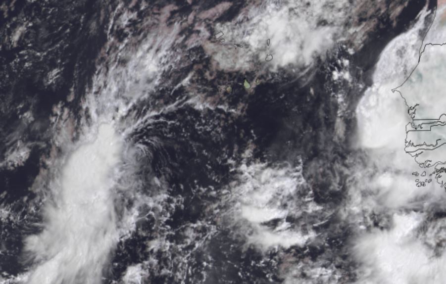
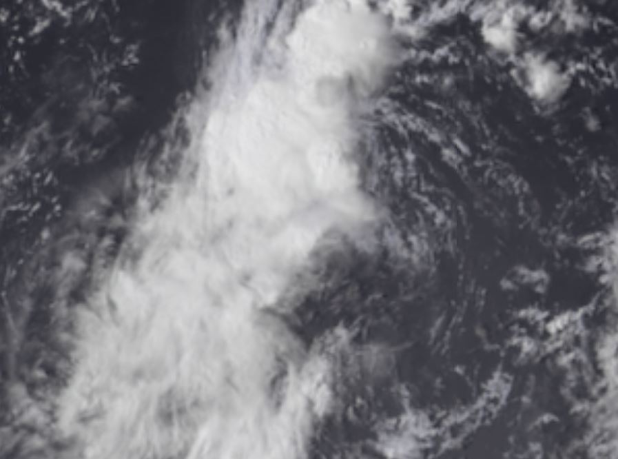
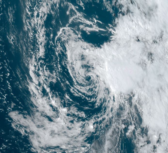
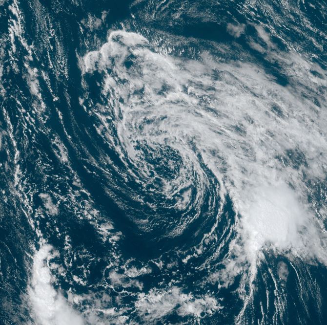
Tropical depression 17 has convection on the west side of its circulation.
Current Tropical Weather
SUMMARY OF 200 PM CVT...1500 UTC...INFORMATION
----------------------------------------------
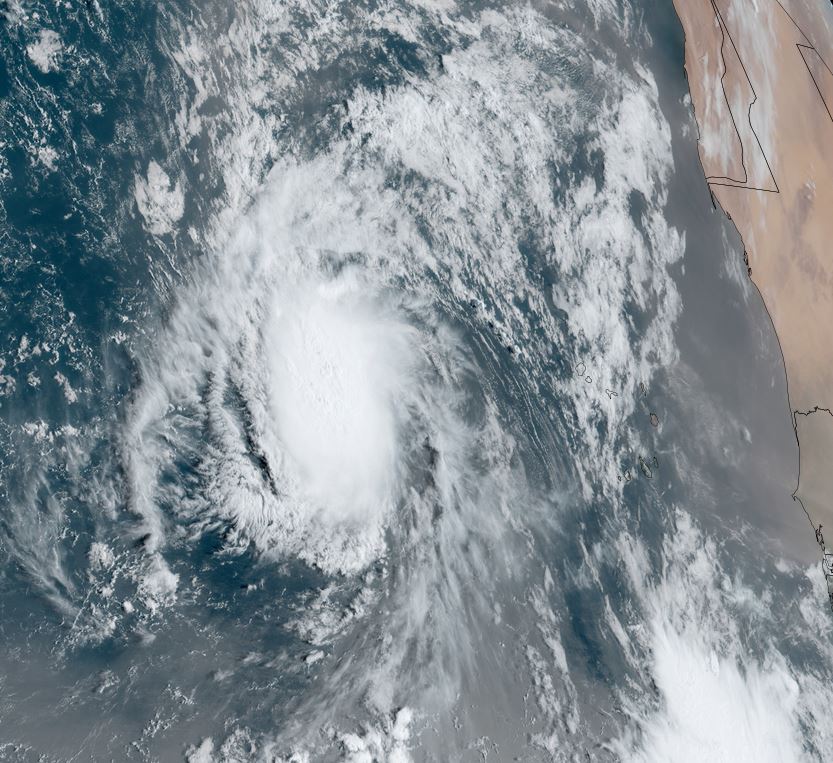
LOCATION...13.2N 28.8W
ABOUT 315 MI...505 KM WSW OF THE SOUTHERNMOST CABO VERDE ISLANDS
MAXIMUM SUSTAINED WINDS...35 MPH...55 KM/H
PRESENT MOVEMENT...NNW OR 330 DEGREES AT 14 MPH...22 KM/H
MINIMUM CENTRAL PRESSURE...1007 MB...29.74 INCHES
Tropical Weather Forecast:
TD 17 is expected to move into the open Atlantic and not affect land
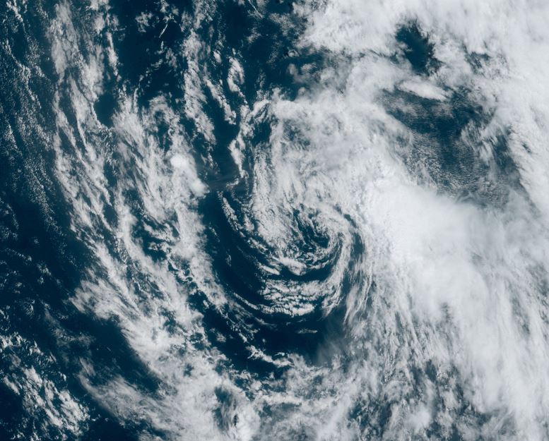
Tropicast: Visible Satellite