Kate
Posted: Sat Aug 28, 2021 10:04 am
Saturday Midday Update
TD 10 in bad shape
The Weather Situation
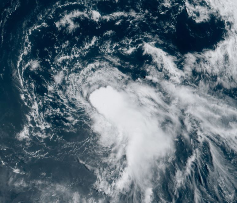
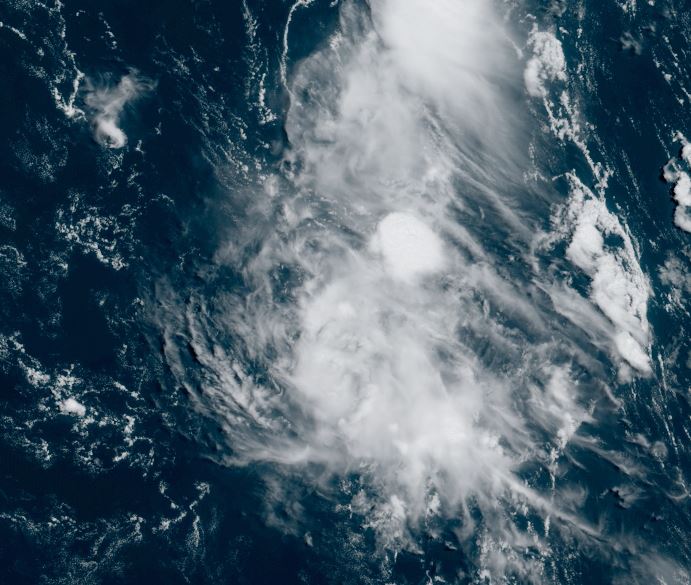
Satellite imagery shows TD 10 void of convection for the exception of well to the east.
Current Tropical Weather
LOCATION...14.8N 50.1W
ABOUT 800 MI...1285 KM E OF THE LEEWARD ISLANDS
MAXIMUM SUSTAINED WINDS...35 MPH...55 KM/H
PRESENT MOVEMENT...N OR 350 DEGREES AT 8 MPH...13 KM/H
MINIMUM CENTRAL PRESSURE...1007 MB...29.74 INCHES
Tropical Weather Forecast:
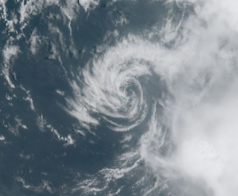
TD 10 will drift north or northeast and may briefly strengthen before weakening again. It poses no threat to land.
Tropicast: Visible Satellite
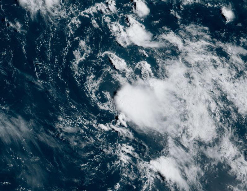
TD 10 in bad shape
The Weather Situation
Satellite imagery shows TD 10 void of convection for the exception of well to the east.
Current Tropical Weather
LOCATION...14.8N 50.1W
ABOUT 800 MI...1285 KM E OF THE LEEWARD ISLANDS
MAXIMUM SUSTAINED WINDS...35 MPH...55 KM/H
PRESENT MOVEMENT...N OR 350 DEGREES AT 8 MPH...13 KM/H
MINIMUM CENTRAL PRESSURE...1007 MB...29.74 INCHES
Tropical Weather Forecast:
TD 10 will drift north or northeast and may briefly strengthen before weakening again. It poses no threat to land.
Tropicast: Visible Satellite