Fernand
Posted: Tue Sep 03, 2019 2:51 pm
Tuesday Afternoon Update
Fernand is classified
The Weather Situation
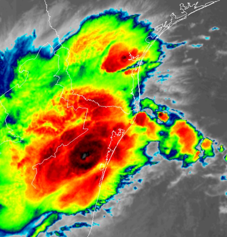
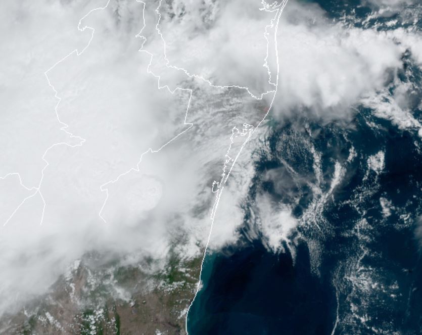
Fernand is a disorganized mass of clouds in the western Gulf. There appears to be a weak low level circualtion associated with the structure. An air force recon is heading to investigate.
For more frequent updates: Twitter: https://twitter.com/richjohnsonwx
Current Tropical Weather
As of 1:00 PM CDT Fernand was centered at 23.5 N / 95.3 W or 160 miles east of La Pesca, Mexico. It was moving west at 7 mph. Top sustained winds are estimated at 40 mph. Pressure was estimated at 1004 MB.
Tropical Weather Forecast:
Fernand will move inland by Wednesday evening. The main threat will be heavy rainfall and the possibility of flash flooding in northeastern Mexico and south Texas.
Tropicast: Visible Satellite Tuesday Late Afternoon
Fernand is classified
The Weather Situation
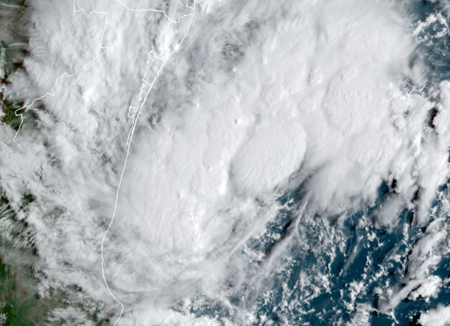
Fernand is a disorganized mass of clouds in the western Gulf. There appears to be a weak low level circualtion associated with the structure. An air force recon is heading to investigate.
For more frequent updates: Twitter: https://twitter.com/richjohnsonwx
Current Tropical Weather
As of 1:00 PM CDT Fernand was centered at 23.5 N / 95.3 W or 160 miles east of La Pesca, Mexico. It was moving west at 7 mph. Top sustained winds are estimated at 40 mph. Pressure was estimated at 1004 MB.
Tropical Weather Forecast:
Fernand will move inland by Wednesday evening. The main threat will be heavy rainfall and the possibility of flash flooding in northeastern Mexico and south Texas.
Tropicast: Visible Satellite Tuesday Late Afternoon