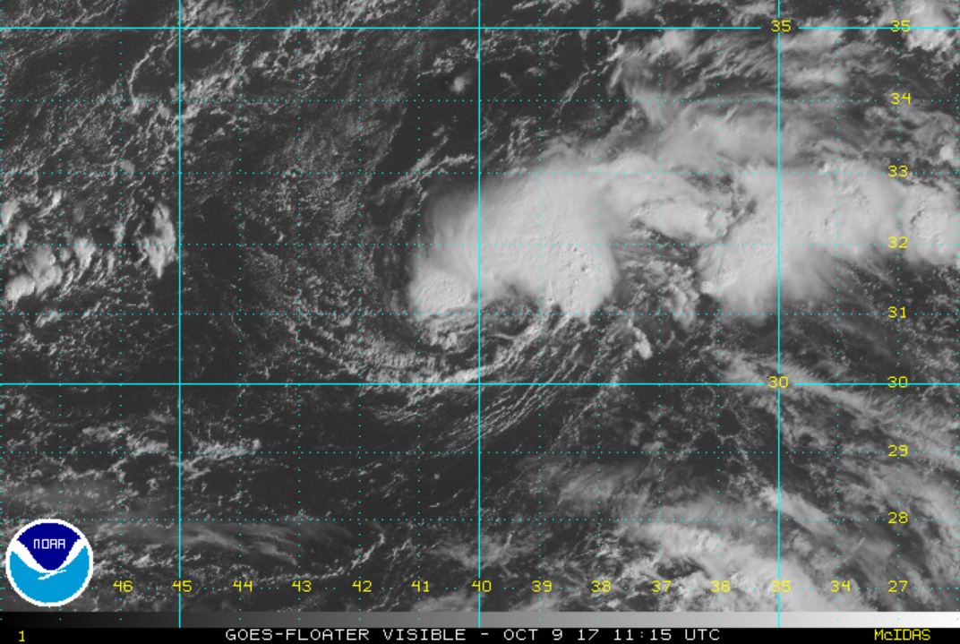
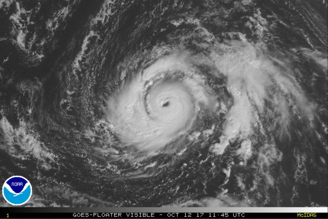
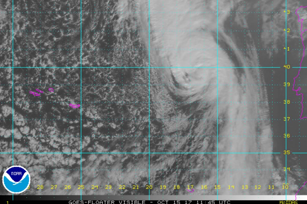
TD 17 Classified
The Weather Situation
Deep convection is building near and northeast of the center of circulation. TD 17 is fighting SW wind shear, but looks to develop into a storm possibly by later today.
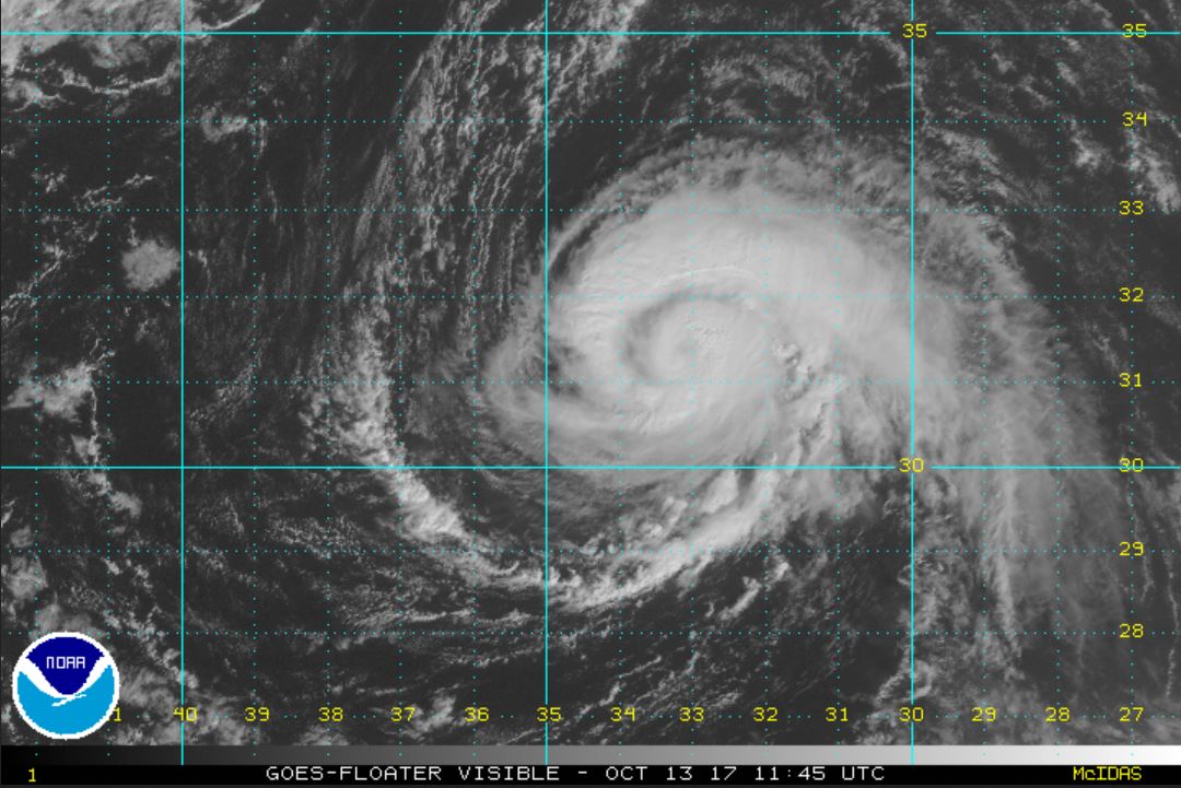
Current Tropical Weather
As of 5:00 AM AST TD 17 was centered at 31.1 N / 39.9 W or 875 miles WSW of the Azores. It was moving north at 3 mph. Top sustained winds are estimated at 35 mph. Pressure was estimated at 1008 MB.
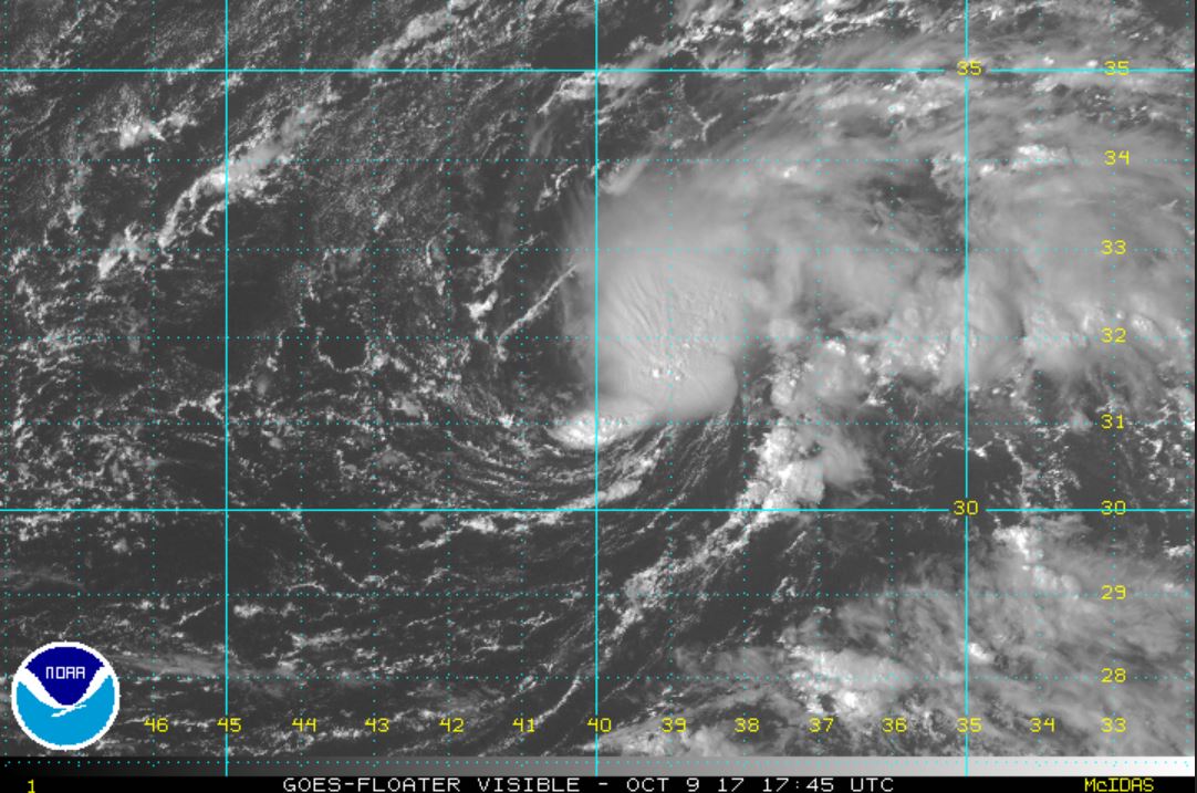
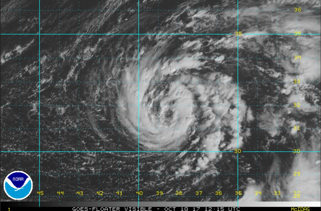
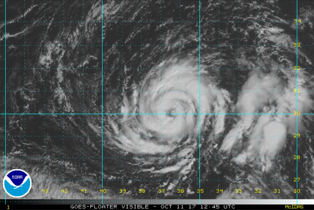
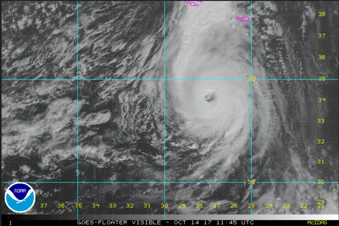
Tropical Weather Forecast:
TD 17 will meander SW of the Azores and gradually strengthen. It is no threat to land.
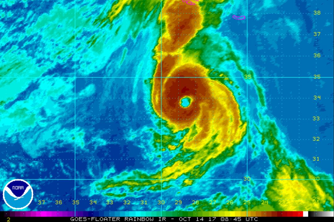
Tropicast: Visible Satellite