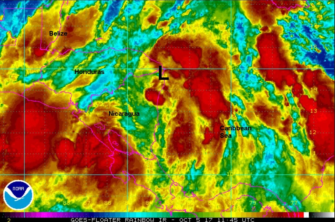
Tropical Depression 16 classified
The Weather Situation
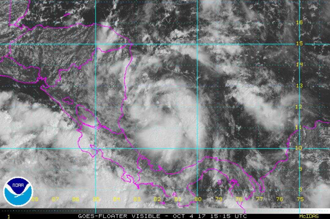
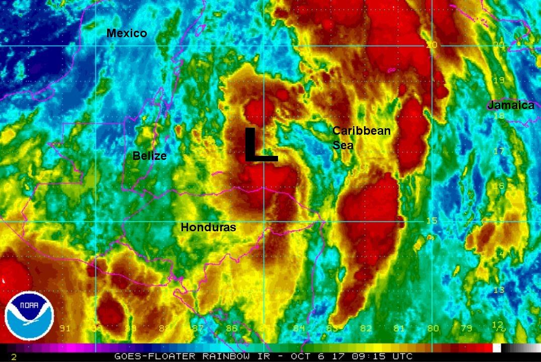
Spin is noted on satellite imagery east of Nicaragua. Deep convection is also present, so it is very likely that tropical storm strength will be reached soon. Heavy rainfall and mudslides are possible on the Central American countries.
Current Tropical Weather
As of 11:00 AM EDT TD 16 was centered at 12.2 N / 81.9 W or 25 miles SSE of San Andres Island. It was moving NW at 7 mph. Top sustained winds are estimated at 35 mph. Pressure was estimated at 1005 MB.
Tropical Weather Forecast:
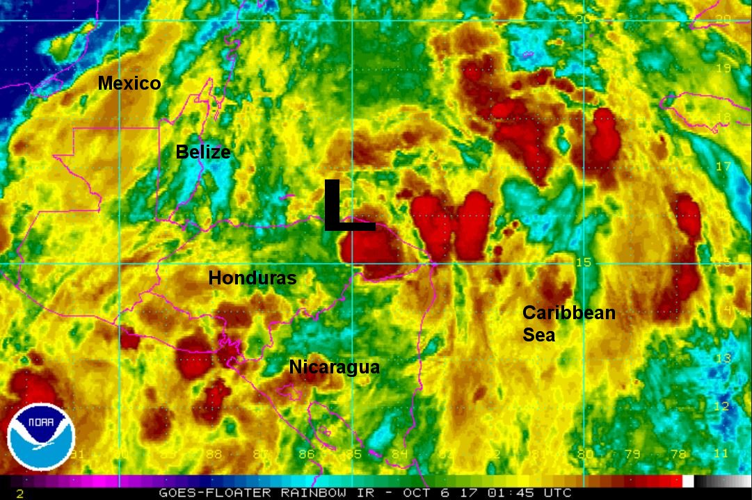
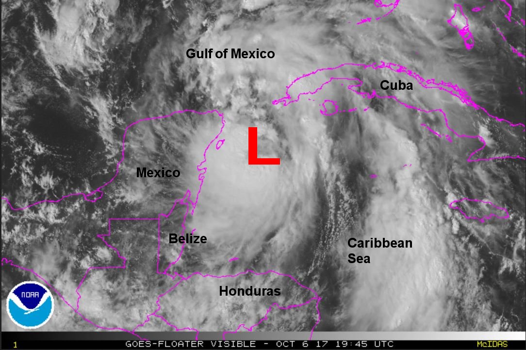
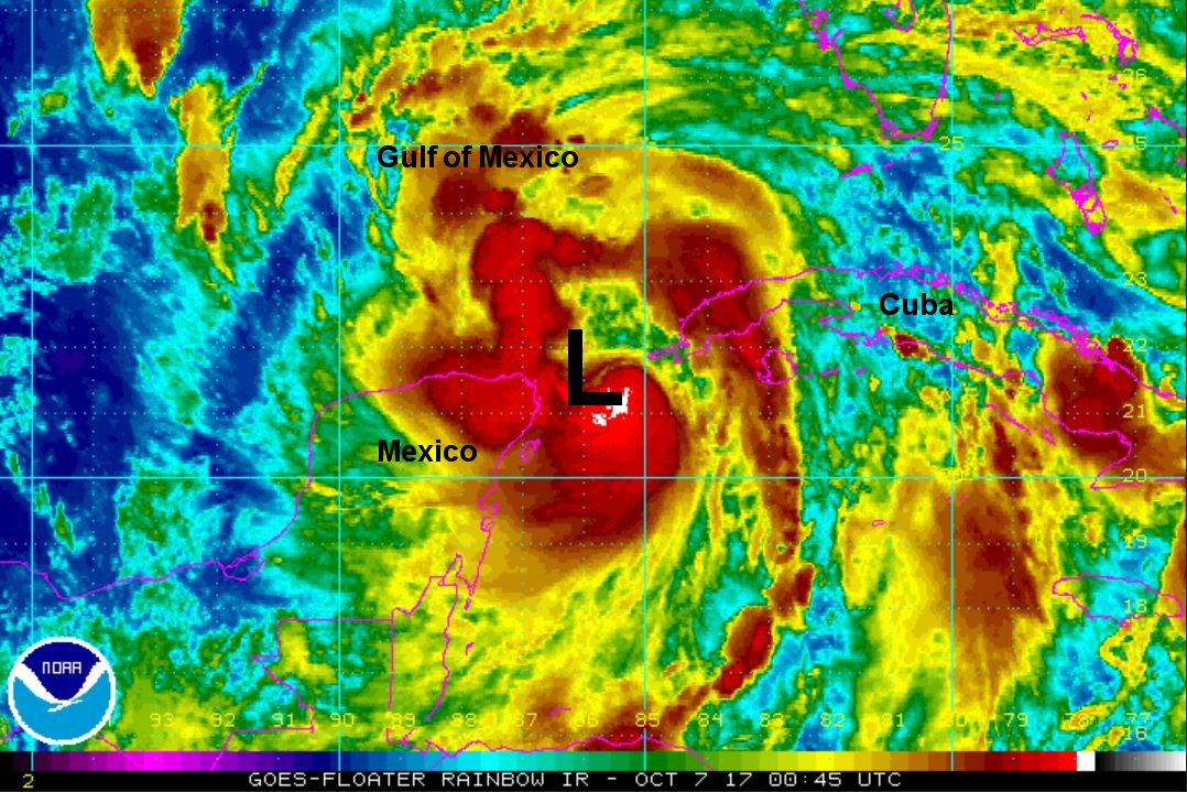
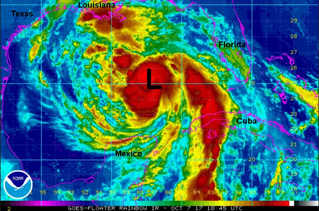
TD 16 is forecast to move along the eastern coast of Central America and near the eastern edge of the Yucatan. It will then move over the southern Gulf by this weekend and make landfall by early Sunday AM along the northeastern or central gulf coast, possibly as a hurricane.
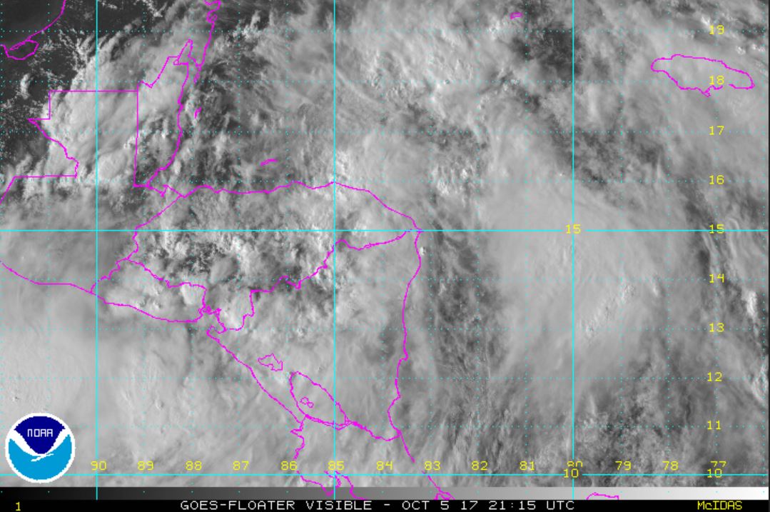
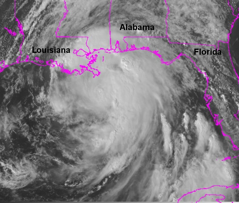
Tropicast: Visible Satellite